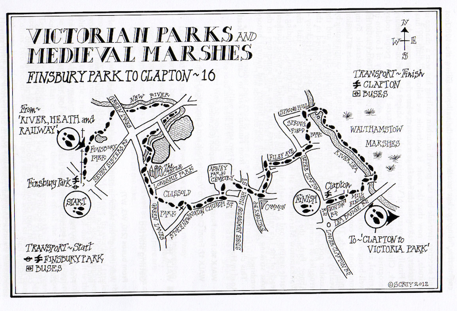
Conceptualised by the visionary urban campaigner Bob Gilbert back in the early 1990s, the Green London Way is a long-distance footpath for London, and one of the earliest urban walking routes. It is a circular route of about 96 miles, not around London but through it. It divides into 18 separate and easily manageable walks, each with its own distinctive character. The Green London Way links river and canal, towpath and abandoned railway line, urban footpath and little-known alley, park and common, woodland and heath. It is an introduction to the best and most beautiful of London’s open spaces. The 18 separate walks vary in length from three and a half miles to ten and half miles, beginning and ending at points well served by public transport.
This website charts these walks, in the order that I walked them – with family and friends, starting in the autumn of 2018. The posts detail and illustrate the routes, goes off on sidetracks, gives some historical and practical tidbits and hopefully encourages others to step off the treadmill and engage in a more humane expenditure of time.
“Home is everything you can walk to.” ― Jerry Spinelli
On a bright and breezy April Sunday, we set off for Forest Hill. From north London, this is usually pretty easy as there’s an overground train that runs from Highbury and Islington. On this particular day, though, this part of the station was closed, meaning a far lengthier schlep down to Victoria Station and then onto an overground train that wound a long and circuitous route down to deepest south-east London. Door to door, it took us almost two hours to even get to the start of this walk as a result!
On leaving Forest Hill station, we headed up the A205 – London Road – towards Horniman Museum, walked past the main tower and building and then entered the gardens through the gate on our right. We decided the gardens were a good place to stop and have lunch.
From there, we walked up to the bandstand, where a local food market was in full swing, which led to endless demands for ice cream from the kids, all of which fell on deaf ears! Just past the bandstand are some steps leading downwards and at the bottom of those, we turned right, following the path as it curved round to the left.
From the gardens, we got a great view of the famous Dawson’s Height estate in East Dulwich. Designed by Kate Macintosh and built in between 1964 and 1972, the estate sits on top of a spoil tip from the creation of a nearby railway line.
Dawson’s Heights consists of 298 flats distributed over two blocks and 12 floors, and has a modernist style, reminiscent of a ziggurat. The purpose of this design was to ensure that two thirds of the flats had views in both directions, including towards central London. English Heritage have described the estate as having “a striking and original massing that possesses evocative associations with ancient cities and Italian hill towns.”
As the path curved downwards, we went through a gate on the right into a little path that ran downhill along the perimeter of the park.
At the bottom, we came to a junction of paths, where we turned left and then turned right into the railway embankment nature reserve. Apparently, this is one of the oldest nature reserves in the city, and once constituted part of Crystal Palace and South London Junction Railway on its approach to what was once Lordship Lane Station.
As we near Lordship Lane, the path along the top of the embankment forks both left and right. We turned left to rejoin the path we had been on and then crossed Lordship Lane at the very point where it changes its name to London Road. The change is to do with the fact that this was once the boundary between the Manors – or Lordships – of Dulwich and Friern.
On the corner of the main road and Sydenham Hill sits this lovely old decaying red telephone box. We crossed back over to the right-hand side of the road here.
We then turned left onto a path that leads off between houses, passing this rather spooky-looking place on our right.
We followed the path to the right as it wound winds slowly upwards along a line of lamp posts and through a rather lovely little estate, where the blossom was out.
The path then ran along the perimeter of the woods until we came to a gate into Sydenham Hill Wood on our right.
The existence of this lovely area of woodland is down to a famous 17th.-century actor and theatre proprietor called Edward Alleyn, who bought the Manor of Dulwich for the princely sum of £5000 in 1605. Alleyn was born in 1566, the son of an innkeeper in Bishopsgate, and found fame and fortune in the theatre. He was so famous he even had a sonnet composed in his honour by his friend Ben Jonson.
According to an oft-repeated but sadly discounted tall tale, his life was transformed as a the result of a theatrical apparition. The cast a play in which he was performing contained twelve demons, but one night he found himself somehow confronting thirteen of them and decided that this was a sign he should stop and re-assess his life. He subsequently left the theatre and devoted the rest of his time on earth to good works.
After his move to Dulwich in 1613, he started reshaping the whole area. He founded almshouses for the poor and schools, including the famous Dulwich College. Today, Dulwich Village remains one of the most select and chi-chi London suburbs and much of the area is still under control of his estate.
Alleyn’s original bequest ordered that a portion of his estates should remain a woodland, which was divided into ten equal portions, and which would be lopped in rotation to supply the college with fuel. The names of manor these portions still survive in one form or another: Lapse Wood, Low Cross Wood, Kingswood, Peckarmans Wood . . . and the 27-acre Sydenham Hill Wood here.
The wood now belongs to the London Borough of Southwark and is managed by the London Wildlife Trust. The rest belong to the College Estates and have, until recently, bent kept strictly private.
Once we’d entered the wood through the gate, we turned right, descending the slop to reach a little footbridge. It was, however, closed for repairs.
This forced us down a little slope and along the side of the scaffolding and hoardings. This cutting we pass through was where the railway used to ruin en route to its final destination at the Crystal Palace High Level Station.
In 1871, the impressionist painter sat on this bridge painting a view of the steam train puffing towards him out of Lordship Lane Station, through a landscape that was largely fields. The painting can today be seen in the Courtauld Galleries in the Strand.
Once we reached the upper side of the far bank, we turned left along the main path, passing this sign on our right and slowly heading downwards to the right.
It was whilst walking in these woods that the poet Robert Browning composed his famous lines:
‘The lark’s on the wing, the snails on the thorn
God’s in his heaven – all’s right with the world.’
We continued on the path keeping close to the golf course on our right, and then later to the allotments which succeeded them. At the top of the allotments, the path curved round to the right. We followed the broad track ahead, keeping the chain link fence off to the right.
It was in this thickest, stillest part of the wood that the ‘Dulwich hermit’ Samuel Matthews is said to have made his home. Matthews came from Wales to work as a gardener in Dulwich College, but after the death of his wife in 1796, he retired into seclusion. Here in the woods, he dug himself a cave in the mud and roofed it with fern and brambles, remaining there until his friends heard about his condition and took him back to Wales.
He managed to escape their ministrations and made his way back to his hoke in these woods, where on 23 December 1802, he was found murdered. The rumour had arisen that he was a miser guarding a stash of treasure – who else would anyone want to live in solitude in the wild? Samuel was found with a hook in his throat with which the killers had tried to drag his body from the low-entranced cave.
The case remained unsolved until 1809 when, on his death bed in the Lewisham Workhouse, a man called Isaac Evans confessed to being the perpetrator of the ‘Dulwich Woods tragedy’.
We kept straight ahead, ignoring cross paths.
We passed a few unusual trees along the way.
And eventually came to a clearing where five paths met. We kept straight on over the clearing.
And along another quiet, richly-wooded path . . .
. . . before finally reaching a gate in an iron fence.
Here, we turned left along the tarmac lane, which curved quite steeply uphill.
A rather over-zealous local eco-warrior had decided to adorn the wooden fences shielding the gardens of the lovely 60s modernist houses off to the right with graffiti.
At the top of the tarmac lane, we came to Crescent Wood Lane, opposite the Dulwich Wood House pub.
Most of the construction traffic to the Crystal Palace must have come along Sydenham Hill as, at that time, only Penge Road (now College Road) provided a direct connection to the area from Dulwich and that had a tollgate on it. The first new building on the Estate land was this very pub.
There are records that suggest that it may have been there as early as 1853 – when a man called Augustus Henry Novelli was living on the site. Given the number of workers and the passing traffic all related to building in the vicinity, there would have been a demand for refreshment and food and it may be that a beer house (which did not need then a licence) was set up on the site very early on. The Italianate building was erected as a private house. It has a central square lookout tower with ranges on either side.
The general consensus, though, is that it was constructed between 1857-58 by Francis Fuller and the Crystal Palace Company, and it may have been designed by Charles Barry (Junior). However, the licence was not granted until 25 March 1867.
An interesting feature inside is a wall with pictures and old newspaper cuttings relating to when the nearby Crystal Palace burned down.
Opposite the Dulwich Wood House was this lovely red-brick house, which was originally the gatekeeper’s lodge of Beltwood House, a Grade II listed mansion with fifty rooms and three acres of wooded grounds. According to its Wikipedia page, the building has had a very chequered history, having been everything from a commune to a children’s hospital to the site of endless noisy parties which resulted in the then-owner being forced out for breaches of anti-social behaviour regulations!
Between 1934 and 1936, John Logie Baird, inventor of television, lived few doors along – at 3 Crescent Wood Road. His TV laboratories were situated in the nearby Crystal Palace and were completely destroyed in the fire of 1936.
We would later get a fine view of Baird’s ‘memorial’ – the BBC TV aerial atop the Crystal Palace Hill.
We turned right at the top of the tarmac path and reached the junction with Sydenham Hill, which we crossed. Ever so slightly to the right was Wells Park Road, which is home to this new-build estate.
The high location of Sydenham Hill and its location on what was once the border of Kent and Surrey, with the air said to come straight from Brighton, meant this area became very desirable during the Victorian era. Upper Sydenham came to consist of large, wealthy family villas, whilst the working people lived in Lower Sydenham below.
This place in Wells Park Road had clearly seen better days, though.
After passing Langton Avenue on the right, we enter Sydenham Wells Park through a gate on the right and then bore to the right to walk downhill.
In 1640, the discovery was made on the Sydenham portion of the Westwood Common of wells whose water was of ‘a mild cathartic quality, nearly resembling those of Epsom.’ As their fashionable use developed, they were said to have ‘performed great cures in scrofulous, scorbutic (no, me neither!), paralytic and other stubborn diseases’. One contemporary commentator went so fas as to claim they were ‘a certain cure for every ill to which humanity is heir’.
The wells were covered over in the mid-19th. century, but a scientific analysis of the waters was made many years later during a temporary re-emergence of a spring near Crystal Palace. They were found to contain large quantities of magnesium sulphate – more commonly known as Epsom Salts.
We passed a second entrance gate off to our right, heading straight ahead at the crossing of paths and continuing along the broad tarmac path.
On our left, we passed some ornamental gardens adorned with palm trees.
Sydenham Wells Park now consists of seventeen and a half acres of undulating slopes and was originally purchased by the Metropolitan Board of Works, which laid out the pathways, plantations and succession of small lakes and rivulets.
The main speech at the parks’ opening in 1901 was made by the trade unionist and socialist John Burns, an appropriate choice for a number of reasons. Earlier in his life, Burns had for six months driven the first electric tram in England, one of the ‘features’ in the Crystal Palace Park. He’d also been particularly interested in the right of public meeting in parks and on commons. He was a leader of the Dock Strike in 1889 and then became MP for Battersea, sitting as one of the first Independent Labour Party members in the House.
We came to the first lakes and immediately afterwards, took a sharp right to reach the gate onto Longton Avenue.
We crossed Longton Avenue and went straight up Ormanton Road.
On our left, we passed a couple of these strangely lovely little houses that looked like post-war pre-fabs that had somehow withstood the test of time.
We crossed a street with another name rooted n the area’s old woodlands – Westwood Hill, which was home to some grand abodes.
We turned left and then off to our right entered Charleville Circus, where we came across this marvellous old DAF car. You can follow the Circus either to the left or the right as both directions meet again in a few hundred yards.
We then came to (and crossed) Crystal Palace Park Road, home to some even grander old houses.
Though as you can see from the multiple buzzers here, very few of them are still single-occupant homes and most have been carved up into multiple flats and bedsits.
We turned left down Crystal Palace Park Road and entered Crystal Palace Park through the Fisherman’s Gate on the right. On turning left as we entered, we got the rear view of some of these lovely old houses.
The original Crystal Palace was Prince Albert’s idea. Queen Victoria’s husband dreamt of a Great Exhibition displaying the power and scope of British imperialism, a monument to Victorian self-confidence and its cultural domination of the world. The design of the building, which would itself reflect these achievements, came about almost by accident. A member of the organising committee, while reading a copy of the ‘Illustrated London News’, noticed a picture of the greenhouses at Chatsworth, built for the Duke of Devonshire by Joseph Paxton. Thus, the idea for the Crystal Palace was born.
The Palace was erected by Paxton in Hyde Park in 1851, but its popularity led the organisers to look for a permanent home for the building once the exhibition was over. In 1852, road and rail wagons carried 9,642 tonnes of iron, 300 tonnes of glass, 13 miles of guttering and 200 miles of wooden sash out to the top of Sydenham hill. The 1608-foot-long Palace was re erected on a site the overlooked London, Kent and Surrey.
The extravagant grandeur of the Palace now had to be matched in the layout of its 200 acres of grounds. In a brilliant imaginative stroke, the shimmering glass surfaces of the palace, with their ever-changing play of light, were recreated in the grounds in the shimmering and shifting surfaces of a water park. The whole design of the grounds was to meet this end 11,788 separate jets and fountains, 10 miles of underground piping and a complex system of reservoirs fed from their own artesian well.
On its grandest nights the park could put on a display consuming as much as 6,000,000 gallons of water, with its highest jets reaching 250 feet into the air.
Palace and grounds were opened by Queen Victoria on 10 June 1854 before a crowd of 40,000 people. It became a pleasure garden for the nation, a forerunner of the theme park, with exhibitions, choral festivals, fun fairs, balloon ascents, aeronautical shows, and pneumatic railway, an electric tram ride, spectacular firework displays and a wide range of theatrical and sporting events. Even the FA Cup final was staged here from 1894 to 1924.
At the top of the hill here, you can see the Crystal Palace transmitting station, located on the site of the former television station and transmitter operated by John Logie Baird from 1933. The first transmission from Crystal Palace took place on 28 March 1956, when it succeeded the transmitter at Alexandra Palace, where the BBC had started the world’s first scheduled television service in November 1936.
Here you can see the Crystal Palace Bowl, a natural amphitheatre where large open-air summer concerts were held for nearly 60 years, including Pink Floyd, Elton John, Eric Clapton and the Beach Boys. The stage was rebuilt in 1996 with a permanent structure designed by Ian Ritchie, which was nominated for the RIBA Stirling Prize, but it later fell into a state of disrepair and became inactive as a music venue. In 2020, the London Borough of Bromley Council announced they were working with a local action group to find “creative and community-minded business proposals to reactivate the cherished concert platform” and on the day we passed by, there was a very noisy drum group doing their thing.
As can be seen here, the Bowl also hosted Bob Marley’s largest and last ever concert in London on 7 June 1980.
Victorian architecture, for all its pretensions, is amongst the most exuberant and exciting in the country, but its extravagance was unsustainable by a later age. By the early 20th century, the grand Crystal Palace had become a liability. It must have been a sad and shabby site in its decline, it’s acres of windows cracked and grubby, it’s miles of iron girders rusting, it’s mountains no longer functioning and its grand pubs weeding over. The end was sudden. It came on the night of 30 November 1936, a night my dad, who was six at the time and living in Camberwell, remembered right up until his death.
The fire which destroyed the Crystal Palace was attended by 90 fire engines and could be seen from as far away as Brighton. A sea of molten glass upload down Anerley Hill and the great organ could be heard eerily playing itself as fire-heated draughts of air rushed upwards through the pipes.
By the morning, nothing but two flanking water towers remained. The circumstances surrounding the fire remain a mystery. An official account blames it on a workman’s blowtorch igniting a paint store, but popular accounts take note of the fact that an ‘accidental’ fire had conveniently disposed of a loss-making liability.
All that remains today is the arcade terrace at the top of the park, on which the foundation of the glass edifice once rested, together with a few half ruined sphinxes and statues. They reinforce the melancholy that pervades the site and which the grandeur of the view fails to dissipate. The ghost of what once was, of the last splendour of a more certain age, hangs heavy here.
We meandered through the park, particularly enjoying the area by Lower Lake.
The lake is so divided by bridges, paths and islands that it actually looks like several lakes. It was the main reservoir for the park and its water levels fluctuated so greatly when the water displays were in operation that it became known as the tidal lake. The largest of the islands contained, from 1953, a Children’s Zoo, which will hopefully one day be restored to the site.
The other two islands carry creatures more ancient – the famous prehistoric monsters which form one of the strangest listed buildings in London. From the incongruously mown grass – for a neurotic municipal tidiness intervenes even here – amidst a backdrop of cypresses, juniper, pines and monkey puzzle, they stick their heads up over rocks, grimace in their green and concrete way and fail to frighten the waterfowl, whose only real concern is to get the next hand out of white bread from the Sunday afternoon strollers.
There’s a pterodactyl about to take off, eyes glaring, one paw raised; there are prehistoric crocodiles under the weeping willows, with long and narrow snouts whose bulbous ends look like eye droppers; tortoises with fangs; amphibious dinosaurs with corkscrew necks, and the mighty iguanodon, with skin as rough as a lychee, snarling to keep up appearances . . . whilst obviously wondering what the hell is going on.
The display as a whole was intended to illustrate the course of evolution, working from West to east across the park. It was designed by the delightfully named Waterhouse Hawkins, with scientific advice provided by Professor Richard Owen, the man who gave the world the word ‘dinosaur’.
On New Year’s Eve 1854, when the work was just completed, they gave a dinner party in the open belly of the iguanodon, its top half being cemented in place later.
Eventually, we reached the top left corner of the park, where Crystal Palace overground station sits, and began the long trek home.
Hopefully, the description and photos above will help anyone wanting to do this wonderful walk, but just inc are, here’s a copy of the map from Bob Gilbert’s book ‘The Green London Way’ too, just in case.
Deciding that the eight miles between Greenwich and Forest Hill was probably a bit much for the younger kids in tow today, we thought it wise to split things in half and attempt the first stretch to Ladywell today, a walk which takes us through an area I spent a lot of time knocking around in back in the late 80s and early 90s, when I lived in various flats and houses in Lewisham, Catford and indeed Ladywell.
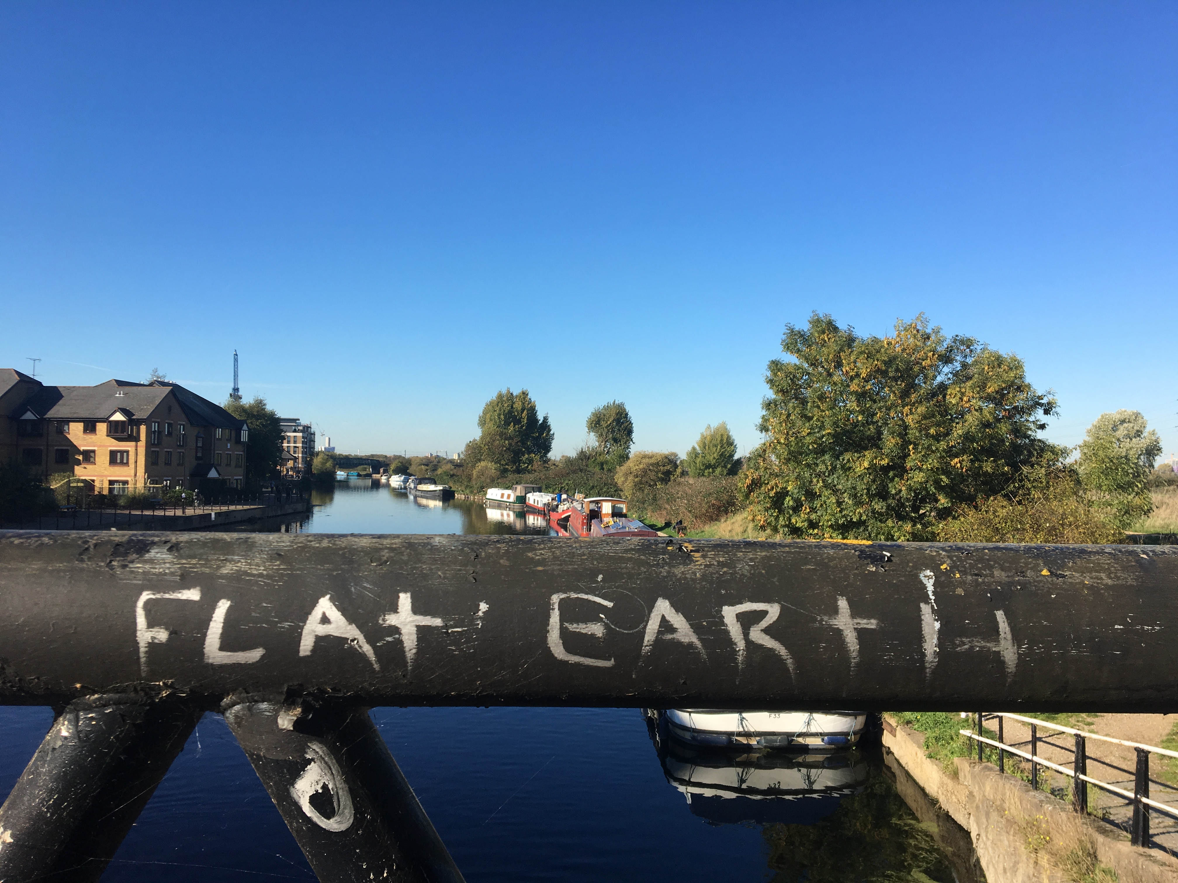
As we entered Manor House tube station to begin our journey to our starting point, we saw this, with the truth-telling weirdly scrawled near the area of London we were headed for. I took it as a positive omen.
We got to the Greenwich DLR, came out and turned left, stopping off near the Cutty Sark for provisions, and then cut along leftwards again past the entrance to what’s left of Greenwich Market. To anyone who remembers the wonderful sprawling market of the past, this may seem like a shadow of its former self, with much of the old rag trade and record dealing and the like all now online, but it was still buzzing and busy, which is good to see.
As we rounded the corner and passed by one of the gateways into the Old Royal Navy College, we encountered the first of several weird families dressed up in some kind of Alice in Wonderland garb. I never did establish why or what was going on, but it was most peculiar.
Crossing over the busy A206, we came to King William Walk, and on the left, there’s Davenport House, now a rather grand student hall of residence. Outside is a 2004 piece called The Throne of Earthly Kings by a French sculptor called Francois Hameury.
Rather disturbingly, we’re also now a stone’s throw away from the homes of both Liz Truss and Kwasi Kwarteng, infamous for their brief nation-wrecking stint in Numbers 10 and 11 Downing Street respectively. We pass the Greenwich Tavern, which features as a gay bar in the wonderful 1996 Channel 4 film Beautiful Thing.
As we enter Greenwich Park, we come to another statue, this one slightly more traditional and grandiose. It’s of William IV, the last of the Hanoverian kings. He is all-but forgotten today, succeeded as he was by his niece Victoria (whose name is virtually a synonym for the entire 19th century), and preceded by his brother – the rakish, obscenely extravagant George IV (who gave us the Regency).
In 1830 on the death of George III, George the Fourth became king at the grand old age of 64, ruling for just seven years. He died in 1837 and is buried in St George’s Chapel in Windsor.
This statue – 20 tonnes of granite, and over 4 ½ metres tall – was commissioned to commemorate him and was originally erected in 1844 in the City, on the junction of King William Street and Cannon Street, looking down onto Rennie’s London Bridge. It was well-received at the time, with Gentleman’s Magazine calling it “a striking and imposing object… a masterpiece” and claiming it was “admired by all who are capable of appreciating artistic genius”. However, 90 years later, changes to the roads on the approach to the bridge meant the poor chap had to be moved.
He was despatched to Greenwich, at the entrance to the park, on the site of the newly created National Maritime Museum, and a stone’s throw from the Old Royal Naval College. There was a certain appropriateness to this. William had been known as the ‘Sailor King’, he was a serving admiral during the battle of Cape St Vincent, and in 1827 had been created Lord High Admiral of the Royal Navy. Perhaps then William’s statue had found a site where it, and its subject, could be appreciated.
On entering the park, we took the right-hand path of the two forking off to the left, before bearing right again and continuing uphill towards the prominent Observatory buildings.
When the Duke of Gloucester built Bella Court by the riverside in 1427, he also obtained a royal licence to enclose 200 acres of Blackheath for hunting. This area of rough pasture, woodland and heath formed the basis of what is now Greenwich Park, but not without a major transformation in its appearance. While in exile in France, Charles had become familiar with the work of the great landscape artist Le Notre, which he would have seen at Versailles and elsewhere. In 1661, shortly after the restoration, he decided on a similar grand geometric design for the grounds of the palace at Greenwich.
Although his exact involvement is uncertain, Le Notre was certainly consulted on the plans. The particular problem for the designers was the split nature of the site, the sudden drop in levels constituted by the Thames river terraces. It was solved by the layout of a system of avenues and vistas culminating at the highest point.
Below this a series of earthworks known as the giant steps, led down the steep slope to the river level. These steps remain in only a degraded form and the slope has become a favourite site for tobogganing in winter, and for dizzy children to roll down in summer.
This was the first place in England where a complex network of avenues was used as the main feature in park design, and it was a direct forerunner of the development of landscape gardens during the 18th century.
In 1675, Charles II commissioned Wren to design a building ‘for the Observators’ habitation . . . and a little for pompe’. Charles, however, wanted his pomp on the cheap; he cut the budget for the building and decreed that it be paid for from the sale of old gunpowder. In Flamsteed House, Wren nevertheless produced a beautiful building – an octagonal red-brick tower rising directly from the top of the hill. Closer examination reveals one of the economies forced upon the builder; some of the ‘stone’ facings are actually made of wood.
The Reverend John Flamsteed, after whom the building is named, lived and worked here as the first Astronomer Royal. He continued to experience problems with the King’s stinginess. He received ‘an incompetent allowance of £100 a year’ for himself and his staff, and was obliged to take up private tutoring to make ends meet.
The king failed even in his commitment to provide instruments for his royal observatory. Flamsteed’s main work was in the detailed plotting of stars, from which he was attempting to make a perfect computation of longitude. Isaac Newton, one of the people who depended on these observations for his own work, seems to have abused his relationship with Flamsteed by publishing, under the title of Historia Celestis, a pirated version of Flamsteed’s work.
Flamsteed was understandably bitter; ‘how unworthily, nay treacherously, I am dealt with by Sir Isaac Newton’ he wrote and three years later he managed to obtain all 300 copies of the book and burned them as a sacrifice ‘to heavenly truth’.
When Airey’s Meridian was finally accepted as longitude zero for the world in 1884, it was only sixteen yards from the location fixed for it by Flamsteed 200 years earlier. In the same year, an international conference in Washington accepted Greenwich Mean Time as the basis of the world’s time-keeping system.
The atmospheric pollution around London, especially the output from Greenwich and Deptford power stations, eventually made the area unsuitable for astronomic observation, and the Observatory actually moved from here in 1948,
Greenwich Park itself was first opened to the public in the 18th century and became a firm favourite on the London tourist itinerary. It now receives over 2 million visitors a year.
The animals most closely connected with the history of the park are deer. They were first introduced here in 1510 and for many years, they ranged freely. Now they are enclosed in what’s known as ‘the wilderness’, a fenced area adjacent to the formal gardens. Here no longer ‘the monarchs of the glen’ or the prey of kings, they doze in the shade of trees or try to beg food from visitors, despite the signs forbidding it. They have become, said Henry James, describing a visit to the park, ‘as tame as sleepy children’.
From the crest of the hill, you get one of my very favourite views of London, looking down across the park and past the Royal Naval College, the 02 Arena and the chimneys of the old power station off to the right – and then, over the water, the huddle of glossy glass towers that make up Docklands.
From the top of the hill, we follow the main park avenue alongside the Observatory buildings.
We cast one final glance back down towards the river, with the Grade II listed looming statue of General James Wolfe gazing off in the same direction. A gift from the Canadians back in 1930, the statue commemorates Wolfe’s 1759 victory against the French at Quebec which secured Canada for the British. Wolfe, whose parents lived in Macartney House on the edge of the park, died in the battle.
The monument was unveiled by the Marquis de Montcalm, a descendant of the Commander-in-Chief of French forces who also died at the Battle of Quebec.
Wolfe lived in Greenwich and is buried in a local church.
As we stroll towards the southern gate of the park, we pass more beautiful buildings connected to the Observatory.
Off to our right is open parkland. Back when I was at Goldsmith’s in the early 90s, I’d often come up here on spare afternoons and sit and read on the benches, assisted by the occasional spliff. Walking by again makes me feel quite nostalgic for a moment when I had all the time in the world and options seemed endless.
As we exit the park, we pass Macartney House, where General Wolfe’s parents lived, and we’re now onto the big open skies and rolling expanses of Blackheath.
There’s a seasonal funfair in full swing at this end of the heath, which we manage to drag the kids away from.
Blackheath has a long and remarkable history, and features quite largely in several key moments in English history. For years, I’d assumed the name derived from plague pits – huge mass graves, often outside the city, where victims of first the Black Death and then later the Plague were buried.
The Black Death ravaged the country in 1348 and 1349. However, by that time, this area was already known as Blachehedfeld, a name derived from the Old English spoken words of ‘blæc’ and ‘hǣth,’ which mean a ‘dark or black heath field.’
So, as much as it might be morbidly interesting or gruesomely quirky to suggest there is a Black Death connection, it’s a myth that Blackheath is called so due to plague victims lurking beneath.
However, as this fascinating blog post reveals, 300 years after the Black Death, the area was later home to pest houses – isolation hospitals for plague victims, many of whom did end up being buried up here.
On leaving the gate of Greenwich Park, we crossed the road – Crooms Hill – and walked off to the right across a grassy triangle towards a gravel path that leads down the slope to the right. This basically means walking near to Charlton Hill, parallel to the wall round the park towards Hyde Vale.
Off to our right, we soon pass Ranger’s House, a beautiful Georgian villa that houses The Wernher Collection, a world-class art collection amassed by the 19th-century businessman, Sir Julius Wernher.
We then come to Cade Road, named in memory of the remarkable peasant leader, Jack Cade. In 1450, the country was on the brink of bankruptcy after years of wasteful war, and so the government of Henry VI attempted to make good its deficit by imposing higher taxes on a country already simmering with discontent.
Jack Cade led 20,000 Kent and Essex yeoman up onto Blackheath, where they set up camp. They laid ‘the Blackheath Petition’ before the Royal Council, calling on the king ‘to punish evil ministers and procure a redress of grievances’. The state pretended to consider the demands whilst sending Sir Humphrey Stafford with a force to crush the rebels. But it was Stafford who was defeated and killed, and the rebels entered London in triumph.
After occupying the capital for three days, the rebels received an offer from the government to consider their demands and began to disperse to their homes. Promises, however, were not enough for Jack Cade who continued to demand real concessions. By now, though, his support had melted away. He was forced to flee into hiding in Sussex, where the king’s forces eventually caught up with him and murdered him.
There’s a lovely old LCC block looking out across the Heath
and a rather beautiful old drinking trough now repurposed as a flower bed.
and then the street sign in memory of Jack Cade.
Interestingly, just over Blackheath Hill is another small road named after the leader of another rebellion. In 1381, the peasantry of south-east England occupied London. It was the culmination of the Peasants’ Revolt, which saw uprisings in 28 different counties. After years in which landless labourers had struggled against subsistence wages, and half-freed villeins against manorial oppression, had come the final provocation – the first attempt in this country to impose a poll tax of.
In order to pay for its French wars, the government of the boy-king Richard II had levied a charge of three groats per person on everyone over the age of 15. From Kent and Essex, huge contingents of peasants marched on the capital. They were inspired by the popular Christianity of hedge preachers and itinerant friars such as John Ball, who preached the revolutionary doctrine of the equality of all in the eyes of God.
Their largest contingent marched from Kent on to Blackheath. Led by Wat Tyler, a blacksmith from Dartford, they arrived here 10,000 strong on June the 12th. Using the heath as their camp, they sortied into London, where they found the gates opened before them by the London poor, and a sympathetic party amongst the aldermen.
As they streamed through London, the ‘impregnable’ Tower was surrendered, the Fleet and Marshalsea prisons opened, the monastery of St. John of Jerusalem burnt and the Temple library destroyed, together with all the hated lawyers’ rolls.
King Richard, still only 14 years old, went to meet the rebel force as Smithfield. During this meeting, William Walworth, Lord Mayor of London, pulled Tyler from his horse and stabbed him to death. The rebels dispersed, most of them returning to their lands, where they were met with revengeful punishment by their ‘lords’.
The leaders of the revolt were executed and the uprising seems to have been defeated. But it was to leave an indelible mark on history. In the short term, the hated poll tax was abolished. In the longer term, the peasantry had shown what a potent force it could be when roused; and it was 600 years before anyone attempted to levy a poll tax again – and you probably don’t need me to tell you how that particular effort went!
We crossed back over the road and over Hyde Vale, heading for the left-hand corner, where the strange beauty of Westgrove Lane begins.
Behind the gorgeous 19th century houses, you see the slope down to the river and the towers of Docklands on the other side.
The road soon becomes just a track and well-monitored properties line the right-hand side of the lane as we descend towards Point Hill.
Point Hill is in fact a hollow hill. In 1780, a local builder chanced across a vertical shaft which led down into three caverns, the largest of which was 58 feet long, 30 foot wide and 12 foot high. The origin of the caverns is unknown, but it is likely they were chalk excavations of some kind, for here layers of chalk are nearer to the surface than anywhere else around Blackheath.
The entrepreneurial Victorians subsequently put the caverns too used, the public was admitted for viewings at 4d a time, and once a bar had been fitted they became a regular venue for drinking parties, balls and dances.
No doubt the local residents were continually disturbed by the revellers attracted to their neighbourhood and in 1853 came the final outrage: a practical ‘joker’ doused all the lights in the course of a masked ball; panic ensued and there was a stampede for the exits. The outcry about this led to the closure of the caverns and the entrance passage was filled in so effectively that it became impossible to re-locate.
At the end of Westgrove Lane, we cross Point Hill and follow a path that runs along the Point, a small westwards extension of the Blackheath plateau.
From here, there’s a great view of London, taking in Greenwich, Deptford and the City beyond.
In 1938, when the local authorities commissioned a report on the possible use of the caverns as air raid shelters, they were unable to find the entrance, and were forced to sink a new shaft down. Their conclusions were that the caverns were unsuitable for shelters, but a passage in their report describes the main chamber, still with half-burnt candles standing on the abandoned bar. The site has become a kind of sealed time capsule, remaining just as it was left late one night by the revellers of 1853.
We follow the path round, passing a small set of steps off to the left until we come to a junction of paths. Here, we turned off to the right, hanging a right onto the road and hitting Maidenstone Hill.
We followed Maidenstone Hill downwards, and found this wonderful building at the end, on the corner of Dutton Street, where we turned right.
We then turned left onto the incredible time capsule that is Trinity Grove. This little street had a very special feel to it, like a lost chunk of 1930s London kept intact and with a real community vibe. All the houses had little benches and flower pots and the like outside, lovely street lights were strung across the road, and peeking through the windows, we saw rooms full of books and pianos and old knick-knacks. A real find.
At the bottom of Trinity Grove, we hit Dabin Crescent, where we turned left, passing a rather grubby old block with Halloween remnants slowly mouldering away outside.
From here, we turned left to rejoin Maidenstone Hill, then right to emerge into the main road, Blackheath Hill.We crossed this larger main road, and started walking up it to the left, as if heading back uo to Blackheath. However, we then turned right onto Dartmouth Hill and then almost immediately turned right along Morden Lane, a path running beside Montague House.
The smart houses of Dartmouth Hill and its surrounding streets actually began as an illegal encroachment on common land. Building on the Heath began in 1690, and continued in a sporadic and fairly piecemeal way until the 1860s, when those already living there decided to prevent anyone else from doing what they had already done by founding a preservation society.
Within a year, they’d managed to get an Act through parliament stopping any further development on Blackheath. It was part of the first national legislations giving protection to common land.
We follow Morden Path as it slowly broadens out, past some lovely old houses that always feel like they should’ve appeared in Antonioni’s Blow Up or some other mid-60’s period piece flick.
There’s more graffiti that seems to both fit in with the opening photo of this section, and also capture some of the tensions of a city where the grandeur we’re passing through soon gives way to a far less salubrious set of streets.
Whether or not this really was an old coach house I don’t know, but it’s a pretty great mailbox to have!
At the end of Morden Lane, we turn right down Morden Hill, which was named after one of the major landowners in this area. As we descend the hill, we are also, in a sense, moving down socially, leaving behind us the beautiful old houses that fringe Blackheath and now heading past social housing and old estates as we trudge on to Lewisham.
Morden Hill soon hits Lewisham Road, which we cross before continuing over onto the next stretch, past the remains of what was once a lovely old tile-fronted pub. We’re entering what could be thought of as the flood plains of the River Ravensbourne.
After passing the last block of an estate on our right, we turn right onto Silk Mills Passage, which is a pedestrian alleyway lined with lamp posts. As with many areas bisected by rivers, there used to be a series of mills operating along the Ravensbourne. The names of local streets bear testament to these long-gone places – Brookmill Road, Cornmeal Road and this.
Interestingly, what ended up as a silk mill here started out as a cornmill, but in 1371 was converted to grind steel. When Henry VIII came to the throne in 1509, England was still importing most of its armour from Germany or Flanders, and the new king decided it would be strategic to set up his own armoury at his palace in Greenwich. He recruited armourers from across Europe to aid and assist him, and the old Ravensbourne corn mill now became the much grander Royal Armoury Mill, grinding the steel for the palace workshops. So it was that this little corner of London became involved in the production of the armour to be worn by the king and his team of champions.
The last royal suit of armour to be produced here was for Charles II, by which time the nature of warfare had changed significantly. The mills struggled on and by 1807 had become a small arms factory. That was not, however, their final incarnation for in 1824, they were converted to the production of silk thread and forty years later started specialising in god and silver trimmings – and produced the first-ever tinsel!
The mill buildings were finally demolished in 1937 and this historic site is today covered by a Tesco’s car park.
The alleyway today has a couple of spectacular doorways that could compete in a Portals to Hell contest . . .
. . . . as well as a lovely collision of modern high-end designer apartments in front of a rather battered-looking 60s or 70s block.
As we leave Silk Mills Passage, there’s the shell of another old pub which has ceased to be. We go straight ahead along a short stretch of road to reach the junction with Elverson Road and Nectarine Way, where we turn left and cross the splendidly-named Coldbath Street.
We reach Elverson Road DLR station ands cross the footbridge over the tracks. On the far side, we turned left to join a footpath running alongside the river.
It’s hard to imagine it now, but not so long ago, the Ravensbourne made headlines in quite a dramatic manner.
In September 1968, after a week of heavy rain, the river burst its banks from Loampit Vale through Lewisham and all the way upstream to Beckenham. The tributaries of the river were overflowing too, the Poole River up as far as Bell Green, while the Quaggy inundated Kidbrooke. The normally insignificant Quaggy rose in a few hours from 6 inches to 14 foot in depth.
There was another 14 foot of water filling the Odeon Cinema in Lewisham. The High Street became a river four foot deep, whilst basement flats in the area were inundated almost to their ceilings. Hundreds of people were evacuated to emergency centres, 40,000 phones were cut off, firemen took the boats and the mayor toured the area not in his mayoral limousine, but in a dinghy.
Walking this stretch of the river today, you can see both the old-fashioned concrete defences, but also the new and more enlightened approach to river management – the recreation of natural riverbanks and softer margins that are ecologically richer, more pleasant to walk along and more effective at flood containment.
Incidentally, legend has it that Julius Caesar was campaigning in southern England when his forces ran out of water. They were forced to encamp while sending out detachments in search of a supply. They were unsuccessful, but Caesar himself had noted ravens regularly flying to and from a spot not far from the camp. He sent out more men to investigate and they came upon the small spring on Keston Heath, which is still known as Caesar’s or Raven’s Well. Legend does not relate how everyone else had missed so obvious a source. From this spring arises this river, the Ravens Bourne, flowing eleven miles to reach the Thames at Deptford.
We crossed a small footbridge on our right and then turned immediately left to continue along Armoury Road and then through a small estate, with the river immediately to our left the whole time.
A few hundred yards along, we found a paved path coming off to the right and running between a housing block and a hedge. This led us to a grey metal fence topped with barded wire . . .
. . . and then to a bright-coloured tunnel under the railway track running into Lewisham. On leaving the tunnel, we emerged onto Thurston Road (opposite Jerrard Street), where we turned left.
This brought us to a junction with the main road, Loampit Vale. I lived round here in the 80s and the area has changed almost beyond recognition, especially this main drag, which is now full of high-rise blocks of flats and feels more like Croydon than the area I used to know.
We cross the main road and turn left. Just before the railway arches, we joined a path open the right that runs alongside the arches and then joins the riverside again.
It was strangely heartening to see that Lewisham retains its distrust of the Metropolitan Police Force. Anyone who knows their local history will be aware of the Battle of Lewisham back in 1977, where coppers allowed the far-right National Front to attempt a march through the multicultural streets of the area . . . streets the locals that day decided to defend, as explained in this great little documentary.
Off to the right are the weirdly anonymous modern builds . . .
. . . . while ahead lies Cornmill Gardens, beyond which the gardens continue ahead on Waterway Avenue.
It’s great to see signs that the area is more geared up for cyclists and walkers than it ever used to be.
At the end of Waterway Avenue, we turn right onto Smead Waty and then left, under the railway arch onto Ellerdale Street. We are, as the street art makes very clear, leaving Lewisham and entering Ladywell, an area named after a well dedicated to the Virgin Mary.
We walk up to the top of Ellerdale Road and then turn left into Vicar’s Hill.
The fact we can still enjoy this glorious stretch of greenery owes much to an amazing woman called Octavia Hill. Born in 1838, she originally trained as an artist and became a protégé, and later a close friend, of John Ruskin. In early adult hood, she developed a passionate interest in the housing conditions of the London working classes; Her idea was to buy up areas of housing herself and then to improve them for the tenants. She made her first purchases through Ruskin in 1865, and by 1874 had the plan on a firm business footing, raising funds through friends and devoting her time to housing reform.
In 1884, the Ecclesiastical Commissioners, one of the largest property owners in London, began to put her in charge of some of their own areas of housing, and it was in this way that she assumed responsibility for 133 homes in Deptford, and began her connexion with the area. “Poor Deptford, our black sheep”, she called it, finding it an area particularly resistant to her brand of reforms. In a poorly furnished room in one of the Deptford houses, she one day noticed a vase of freshly picked wild flowers. She was told that they had been picked on Hilly Fields and set off the same day to locate the place
Octavia was not only concerned with the housing conditions of the London poor, but with the quality of the environment in which they had to live. In 1875, she had campaigned unsuccessfully to save her beloved Swiss Cottage Fields from development, and thereafter became an executive member of the Commons Preservation Society.
Time and time again, she found herself campaigning against the building developments that were devouring the open spaces enjoyed by Londoners, especially those for whom the opportunity to walk across common or field was one of the few reliefs from their atrocious living conditions. ‘The thousands of rich people’, she said in 1883, ‘who owe their wealth to London, or who availed themselves of its advantages, have not, as far as I know, given one single acre of ground, that could have been sold for building over to Londoners for recreation ground or park, if we except Leicester Square’.
The Hilly Fields discovered by Octavia Hill was a London clay outcrop above the Thanet sands, a beautiful hilly prominence rising to 175 feet, with extensive views over London. Somehow it had so far escaped the development which was swallowing up Brockley all around it.
The area then was mostly farmland, with an area of game shooting common to the south. The latter part had already been leased to developers for building, and Octavia realised that none of the site would be spared for long. She helped establish a committee to save the fields and set about raising funds for its purchase.
The recently formed London County Council soon lent its support, but it was not without a difficult and protracted campaign that the fields were finally secured for the public they were ‘opened’ on 16 May1896, by which time Octavia hill had moved on to other campaigns, among them that abiding monument to her work, the National Trust, which she co-founded in 1885.
We followed the path as it curved to the left and ran across the top of the Fields. We continue ahead across cross paths, stopping at the stone circle for a bite to eat.
These stones are 400 million years old and were taken from Mount Struie in Scotland. The stone circle is thought to be the only one of its kind in the city and a pilgrimage site for London pagans.
The twelve granite boulders were introduced to Hilly Fields in 2000 to mark the millennium with the help of the Brockley Society.
We stopped at the lovely little cafe for a quick coffee and then followed the same path we’d been on, heading past the tennis courts on our left.
Just beyond the tennis courts, we turned left between the courts and a kids’ playground on the right. The drinking fountain here was a nice touch and much appreciated.
Just beyond the playground, we took the second path and followed it as it meandered downhill beside the meadow, reaching the apex of two roads, with Adelaide Avenue running straight ahead.
On Adelaide Avenue, we hit our second All Coppers Are Bastards of the day . . . .
We then ended up slightly lost, as we wandered down a little pedestrian passage alongside Prendergast School onto Ivy Vale, With the wall of Brockley and Ladywell Cemetery on our left, we headed back towards its entrance on the corner with Brockley Road.
I stopped to admire a few of the rather battered-looking lock-ups along the way.
The cemetery is open between 10am and 3.30pm from November to February and 10am till 4.30pm the rest of the year, so we were just about in time for a quick mooch through its faded wonder. On entering the cemetery, we took the path immediately to the left, following it as it runs parallel to the perimeter wall.
After a short walk, the path curved sharply away to the right, at which point we carried on straight ahead, following the trodden short cut over the grass to join another tarmac path. We turned left along this path, continuing to walk with the wall to our left.
When this path also started to bear to the right, we followed it . . . .
. . . . passing a small green roundabout of sorts and continuing on the tarmac path running ahead. We then turned to the left, passing a walled war memorial on our left and a chapel off to the right.
I’m guessing this was the grave of a local mason.
And there were some excellent old Celtic crosses on display as well.
The whole cemetery occupies 37 acres and was, in fact, once two separate entities – Brockley Cemetery, where we entered, and Ladywell Cemetery, where we leave from.
Under the original names of Lewisham and Deptford cemeteries, they opened in 1858, within a few months of each other. They were part of the first wave of Victorian cemeteries enabled by an 1854 Act of Parliament, which allowed for the building of burial grounds that were no longer attached to churches, a response to the unhealthy overcrowding afflicting church graveyards.
The ‘short cut’ across the grass that we took a minute ago marks the grassy ridge that once separated them and there are still few direct routes running from one side to the other.
The 131,000 people buried here include a number of interesting figures – among them Sir George Grove, author of the famous musical dictionary, Fernando Tarrida del Murmol, a Cuban anarchist, and the poet and painter David Jones.
Jones is not the only poet to be buried here for the cemetery also contains the grave of Ernest Dowson. His was a short and unhappy life. His father died of consumption, his mother committed suicide, he was unsuccessful in love and the two collaborative novels he worked on were a failure.
He died of alcoholism at the age of only 32. Few can even claim to have read his poetry, yet he left us with some memorable additions to the English language. The phrase ‘days of wine and roses’ comes from one of his poems, while Margaret Mitchell took the title of Gone With the Wind from another. Even Cole Porter used one of his lines in a song title.
Most surprisingly, he was the first person to use the word soccer in written language, though he spelt it socca. It’s good to report, therefore, that his derelict and badly vandalised grave was restored and commemorated by a memorial service in August 2010 – some 110 years after his untimely death.
On leaving the cemetery gates, we cross the end of Ivy Road into Ladywell Road, which we crossed and continued along for around half a mile. Along the way, we passed this plaque marking the spot of another mineral water spring that once blessed the area.
We pass the junction with Adelaide Avenue and reach the railway bridge, where we decide to break for the day. Strangely, as we head into Ladywell Station, there’s an Arsenal sticker, heralding our return to the red-and-white streets of north London!
What with one thing and another , we didn’t get round to doing the second half of the week until a few months later. Once eventually ready, we got the train from London Bridge down to Ladywell, came out and took the steps up to the top end of the bridge. After maybe a minute of walking along the road towards Lewisham, we took the second footpath on the right into Ladywell Fields.
holy We took a short detour straight ahead to read the Anglican parish church of St. Mar the Virgin, a classical, aristocratic structure that harks back to a time when this area was slightly grander and wealthier. Parts of the tower date right back to the 15th. century, but most of the church was built in the 18th. and 19th. centuries. Apparently the cemetery’s main claim to fame is that it’s home to the grave of the Irish poet Thomas Dermody.
From here, we swung off to the right at the first junction, crossing a little footbridge over the River Ravensbourne.
We then turned left into Ladywell Park and then followed the path along the side of the river. In the 19th. century, this land was all rich watery meadows attached to the church, but in 1889, they were bought up by London County Council and the Lewisham Board of Works. The meadows were drained and landscaped , and the river straightened, with its bends cut off to form little islands. It was then opened as the new Ladywell Recreation Grounds.
Today, it’s clearly well used and well loved by locals, but also home to the predictable abandoned hire bikes as well!
We passed this wonderful wooden climbing frame that resembles a Chinese pictogram.
After following the path, we crossed another footbridge over the river and then went over the footbridge to the right that crosses the railway tracks. From the steps, we got a view over the athletics track seen here.
And off in the distance there, looking northwards down the tracks, is Ladywell station again.
In the early 1990s, I spent a brief spell living in Catford, and one of the more surreal moments of my time there involved seeing the very distinctive-looking Harvey Stephens, the man who played Damien in The Omen as a child, queuing in the local supermarket one day.
I mention this simply because this sign on the bottom of the bridge served as a timely reminder that Satan is everywhere. 🙂
From the bridge, we carried on along the side of the river through the next section of the Fields until we reached a footbridge. After crossing that, we turned left along the opposite side of the river, with these new-builds off to our left.
We resisted the temptation to cross this next bridge and explore a lovely-looking corner of the park and instead walked onwards . . . .
. . . . . passing on our right this magnificent tree known as the ‘Lewisham Dutch Elm’. As you can see, it’s one of the Great Trees of London. Set up after the Great Storm on 1987, which brought down thousands of trees across the country, this lists 61 rare, ancient and just plain remarkable trees all over the capital.
Continuing on, we passed under a railway bridge . . .
. . . and took the second of the paths leading off to the right.
We were nearing the end of this rather lovely stretch . . .
. . . and headed uphill to meet the road, Ravensbourne Park. There seems to be no escaping the river on this particular part of the trek.
We crossed the road, turned left along Ravensbourne Park and then almost immediately right onto Ravensbourne Park Crescent. There was a little scrap of park off to our right, all watched over by the loving eyes of CCTV.
Smile.
We turned right and then left onto Montacute Road, an innocuous-looking street with a fascinating history behind the name. Edward II came to the throne of England in 1307. He was not a man who would enjoy or excel at martial activities like war or tournaments, and so failed to win the respect of the troublesome barons of the land. This was exacerbated by his string of gay lovers.
He was defeated at the Battle of Bannockburn in 1314, and this seriously weakened his already shaky standing. He married Isabella, daughter of Philip the Fair of France, but their relationship soon collapsed and she spent more and more time back in France.
The story goes that there she met Roger Mortimer, a lord who was in exile after an unsuccessful revolt. The two soon became lovers and hatched a plot to take over the English throne. They landed in 1326 and Edward was usurped with hardly a hand raised in his defence. He was eventually imprisoned in Berkeley Castle, where legend has it that on the night of September 21st 1327, they sent murderers into his cell, who killed him by pushing a red hot poker into his bowels.
The new king Edward III, son of Isabella and Edward II, was still a boy. For four years, Roger and Isabella were able to rule in his place. However, when Edward III reached adulthood, he sent a group of close associates to Nottingham Castle, where they seized Roger Mortimer, who was subsequently hung at Tyburn, next to what’s now Marble Arch.
The leader of the band who took Mortimer into custody was William Montague – also known as Montacute. As a reward, he was given the Manor of Catford, and this very road here marked the boundary.
Oh, and in case you’re wondering, Edward III’s mother Isabella was placed under house arrest at Castle Rising in Norfolk, and remained there – in isolation – for the rest of her life.
At the top of Montacute Road is a T-junction and immediately opposite is this passageway that leads up onto Blythe Hill Fields.
Blythe Hill is another one of the raised green spaces that the Green London Way follows across South London. In fact, from its 200-foot high point, you get a great view back up to Hilly Fields in Ladywell and beyond, to the east and the Isle of Dogs over the water.
This lovely green space was once at risk from rapacious developers, but was saved through concerted public protest and in 1935, the hill was ‘opened’ as a park.
The surrounding area is the pleasant suburb of Brockley, which gets its name from two Anglo-Saxon words: broc meaning brook and leah meaning a clearing or a glade. Until the 18th century, Brockley was a village set in a clearing in the huge expanse of the Great North Wood, which stretched for miles over much of what is now South London.
The wood survives in many place names down here – Norwood, Forest Hill, Forest Wood, Westwood and Honor Oak, which is where we’d headed to next.
We crossed Blythe Hill Fields, ignoring the paths running downhill to the right and left. Instead, we continued ahead to reach the exit onto a road called Brockley View
We turned right down Brockley View and then left into Codrington Hill, which we followed to its end. Along the way, we passed this rather splendidly named street!
We hit the main road – Stondon Park – where we came across this rather desperate piece of urging. We crossed the main road, turned right past a couple of shops and continued more or less straight ahead into Gabriel Street
Just off Gabriel Street was this plaque, marking the house that Anglo-Irish writer Leslie Paul once lived in. As a young man, his political views were shaped by H.G. Wells, William Morris and Edward Carpenter, while his ideas about children’s education were influenced by Rousseau.
After a dispute with the Kibbo Kift leader, John Hargrave, Paul and some other members broke away to form a new group, the Woodcraft Folk, which is still active today.
At the end of Gabriel Street, we turned right into Grierson Road and followed that down till we met Honor Oak Park, almost opposite the station. Here, we crossed the road and turned left up the hill.
We pass this unintentionally comic entrance to a local cemetery.
And get a glimpse of some local allotments.
On the other side of the road is this slightly wonky little wonder.
And then we go through a gate on our right and up some steps that lead into woodland. We’re now entering One Tree Hill.
The ‘one tree’ in question is also the ‘honour oak’ that gives its name to the local neighbourhood. Legend has it that its name derives from Elizabeth I, who once picnicked here in 1662 while she was out ‘a-maying’ with Sir Richard Buckley. However, the true origin is probably much older. A large oak tree at the top of a hill has a pre-Christian religious significance. This importance actually continued until fairly recently, and the beating of the Parish bounds, which took place once every three years, always ended under the branches of the honour oak. Traditionally, this ceremony would finish with the singing of a psalm. It’s fairly telling that the last time this ceremony took place in 1899, the assembled dignitaries couldn’t remember the words to the traditional psalm and were forced to sing a shorter thing instead.
Off to our right, we can now see St. Augustine’s church, which was built in the 1870s to meet local demand as more and more people followed the railways out in the expanding suburbs.
It’s now a Grade II listed building and still seems to play a very active role in the life of the local community.
We carried on up the next flights of stairs towards the summit.
For generations, the residents of Honor Oak regarded One Tree Hill as common land. Then, one morning in 1896, they awoke to find the hill surrounded by a six-foot fence that had been erected by the local golf club, which now claimed to have a legitimate lease on the land.
Within a few days, an ‘Enclosure of Honor Oak Hill Protest Committee’ was holding its first meeting in a nearby tavern. With the support of the Commons Preservation Society, it began the long and painstaking business of researching the legal status of the land.
This constitutional mode of procedure was too slow for most local people and public anger boiled over when two local boys faced criminal proceedings from the golf club for alleged damage to the fence.
On the next Sunday, 15,000 people gathered on the slopes of the hill, directing their attacks from Honor Oak Park and Honor Oak Rise, they tore down the fence and swarmed across the hill in what the authorities described as ‘a disorderly multitude’. The groundkeeper’s cottage was attacked and seriously damaged and the crowds only dispersed when police reinforcements arrived.
The following Saturday, three disaffected members of the Protest Committee, which had disassociated itself from the demonstration, cut down a section of the fence and, having notified the press, the police and the golf club in advance, invited the authorities to arrest them.
The next day, crowds estimated at between 50,000 to 100,000 again massed around the hill. This time they were met by large contingents of foot and mounted police. As the crowd stormed the fences, the police made a mounted charge. Missiles were thrown, bushes set ablaze and a police inspector injured. Nine people were arrested, of whom five were sent to prison for their part in the battle to liberate the hill.
In spite of these activities, it was not until 1902 and the establishment of the London County Council that the land was saved for the public. Using its new compulsory purchase powers, it took the golf club to court and completed its acquisition two years later. In 1905, in the presence of 30,000 spectators One Tree Hill was officially reopened to the public.
Just off to the left of the summit was this strange structure, which turned out to have once been a gun emplacement. It was built in 1916 to mount a Royal Naval gun to defend London against bombing from German Zeppelins and Gotha bi-planes.
Two watches of ten men were stationed here to man the gun and if eye-witness reports from the time are accurate, then they may not have been successful in shooting down a Zeppelin, but did damage tramlines in nearby Peckham Rye Common with a missed shot!
A hundred metres or so off to the right stands the Honor Oak. Despite the legend about Elizabeth I stopping here for a picnic, this actual tree wasn’t planted until 1905. Its lack of ancient credentials hasn’t stoped people coming here to lay strange pagan offerings at its base, though.
From the summit, we carried on straight ahead to descend several flights of stairs into even deeper woodland.
We passed these grand houses in One Tree Close off to our left – buildings as impressive and imposing as anything we’d seen on Blackheath or in Greenwich.
The downwards path veered off to the right a little . . . . .
. . . . past a tastefully decorated rubbish bin, and onto the road – Brenchley Gardens.
We crossed Brenchley Gardens and entered the little strip of park of the same name via a little gate. Opened in 1928, this thin stretch of greenery was built partly on the line of the old Crystal Palace railway and named after the one-time Mayor of Camberwell, William Brenchley.
In a classic instance of bureaucratic fudge, the LCC had a policy that sites shouldn’t be named after people who were still alive and therefore refused to endorse the name. In an imaginative counterstroke, the Borough Council announced it was still calling this Brenchley Gardens – after the village of Brenchley in Kent!
We bore left along Brenchley Gardens and as we neared Forest Hill Road, we got a good look at this lovely old LCC council block.
We emerged onto Forest Hill Road opposite Wood Vale, crossed over and came to the entrance of Camberwell Old Cemetery.
Despite the fact that it was originally designed for ‘the middle, artisan and poorer classes’, Camberwell Old Cemetery was actually laid out in great style, as you can see. Founded in 1856, it covered nearly 30 acres and was equipped with chapels designed by the great George Gilbert Scott. However, following these promising beginnings, it soon fell into a state of disrepair. Today, though, it’s one of the most attractive of the still active cemeteries in London. There’s a kind of semi-maintained element going on here, which means the cemetery avoids that stultifying sterile conformity that so many modern cemeteries seem plagued by.
The cemetery runs alongside a road called Wood Vale, which was once the boundary between Kent and Surrey.
Over 300,000 people are buried here and among the most notable are the 288 Commonwealth service graves from World War I, a group of special memorials to 14 casualties buried during World War II and a memorial dedication to 21 civilians killed in a Zeppelin raid on Camberwell in 1917.
As we walked through the cemetery, we bore left and eventually exited onto Wood Vale through a gate in the far left corner.
We crossed Wood Vale and went up Langton Rise . . .
. . . . . and at the top, we turned right onto Westwood Park, the kind of street that a certain sort of suburban torpor hovers over.
Westwood Park was the site of the first recorded fight of the commoners’ rights in Britain. The Westwood once extended over 500 acres and was part of the Manor of Lewisham. The poorer inhabitants of the area had, for generations, taken their cattle there to graze and regarded it as common land.
In 1605, though, it was granted by the King to Henry Newport, a local member of the gentry. The commoners immediately made a complaint and the case came to trial in 1606. The commissioners attempted the impossible by coming down on both sides and saying it was both ‘the king’s waste’ to dispose of as he pleased, and also a common.
Unsurprisingly, this satisfied nobody and the case went on to the Court of the Exchequer in 1607. The commoners won their case, but Newport and two associates immediately, and despite the ruling, seized possession of 347 acres of the common.
The case was brought back to court a third time, this time with a jury from the county of Kent, who decided in Newport’s favour. He immediately began to make ditches and enclosed the common, driving the commoners off and killing their cattle. The commoners responded by demolishing the fences and filling in the ditches.
As the crisis came to a head, the local vicar led 100 parishioners into London to make a direct appeal to the king, who referred the case to the Lords of Privy Council. A retrial was ordered and on the 16th of October 1615, it came before the Barons of the Exchequer, who ruled in favour of the commoners.
The Westwood then remained common land for the next 200 years. However, in 1810, an act of parliament was passed authorising the enclosure of the whole of the common. The Westwood then disappeared, surviving only as a street name.
The road starts to curve upwards to the left and there we found a little opening between the houses that took us onto a footpath. This led us to another path that led through a wooden area running alongside Horniman Gardens.
Half a century after the Westwood was lost, Frederick Horniman gifted the Horniman Gardens and the Horniman Museum ‘to the people forever’. Frederick was the son of John Horniman, who had founded a tea business and became the first person to sell tea in sealed packets.
Frederick had been a keen collector since childhood and was able to indulge his passion with a vengeance in his work for the tea company. He travelled at least twice around the world, taking in Egypt, India, Sri Lanka, Burma, China, Japan, Canada and the USA. From each of these countries, he made a point of bringing back artefacts illustrating either their natural history or their arts and handicrafts.
In 1868, he moved into Surrey House at the top of Forest Hill, where eventually his ‘artefacts’ filled so much space that there was no longer room for both his family and his collection. It was the family that had to move – and they took up residence in the adjacent Surrey Mount, which stood on the highest point of what is now Horniman gardens.
In 1890 Frederick, who was by now both chairman of the tea firm and MP for Falmouth in Cornwall, opened his collection to the public as a free museum.
Within seven years, it was receiving over 90,000 visitors a year, with 3500 people crowding into Surrey House on a single Bank Holiday. It was obvious that a brand new building was necessary.
Frederick Horniman and his architect C. Harrison Townshend have given us one of the most interesting and individual buildings in London. Completed in 1901 in an Art Nouveau style, it cleverly makes use of the steep slope into which it is set.
The arched frontage of the South Hall faces the road, and set slightly apart from it is a tower in beautifully grained and honey-coloured stone with rounded corners from which four little subsidiary towers emerged as naturally as buds.
We stopped off in the museum gardens for tea and cake before trudging the last half-mile to the next station.
Once we hit the main road – the A205, also known as the London Road – we turned left and headed down through Forest Hill to the station and our overground train back to London Bridge.
Before we hit the row of shops on our right, we passed this lovely but slightly run-down building on the opposite side.
Hopefully, you can work out our route from the photos and descriptions, but just in case, here’s the map from Bob Gilbert’s magical The Green London Way.
For today’s walk, we were joined by an old friend, Caroline, who lives fairly locally, and who I’d not seen for far too long, so while I was furiously texting trying to work out exactly which part of Woolwich Arsenal DLR we were both outside, everyone else went off in search of supplies. Eventually, we met up, sandwiches were purchased, water to cope with the heat stashed away, and the trek began.
On leaving the station, we turned left onto Woolwich New Road (‘new in this instance meaning ‘since 1790!) and kept straight ahead, continuing beyond the square and past some rather European new builds that were still under construction.
Just beyond a church on the left, the road forks, and we kept left, following the road alongside a long brick wall on the right and some old 70s-style council housing on the left. After a few minutes, we reached a narrow flight of old stairs on the right and went up them.
To our right was the shell of the old garrison church of St. George, which was designed in a grand Italianate style by T. H. Wyatt, who had been commissioned by the then Secretary of State for War, Sir Sidney Herbert, with the express instructions that the building be modelled on a huge church built in Wiltshire by his uncle, the Earl of Pembroke.
As can be seen from the plaque below, it met its end in 1944, when a German bomb, presumably intended for the nearby military base, landed right on it, leaving little more than a few parts of the main structure intact.
Remarkably, though, a dazzlingly colourful mosaic of St. George rearing on his white horse somehow survived, and serves today as a memorial to those members of the Royal Artillery regiment who have received the Victoria Cross.
These ornately-carved tops of the pillars that once held the roof up also survived and can now be seen to the left and right of the mosaic.
As we were wandering around, we met a local old boy who’s part of a team of volunteers that look after the space. He’d come in to place chairs out for an inter-faith meeting that was due to take place in the walled memorial garden in a couple of hours, and was very generous with both his time and knowledge as he pointed out a few odd details we might otherwise have missed, such as the shrapnel marks still visible on the external walls.
On leaving, we faced the busy A205, beyond which lay the vast Royal Artillery Barracks. Depending on which source you believe, this is the longest continuous building frontage in London, in Britain, in Europe, or the world., It should be added here that some commentators qualify these grandiose claims by adding the adjective ‘Georgian’, which does rather shorten the field!
There’s no denying it’s long, though – over 1,000 feet long, in fact – and whilst much of the amazing building has either been sold off or will be soon, it is still home to the King’s Troop Royal Horse Artillery.
We crossed the road and entered the scrubby bone-dry park via a little gate, with this sign making it very clear we were not in just any old municipal space. Bloody mods, eh.
We followed the path across the park, keeping the rugby pitches on our left and the barracks on our right. Behind the grand facade you can see below, the barracks were originally laid out on a grid-iron pattern to resemble a Roman town, though little of this now survives. The original occupants would’ve been some 4,000 members of the Royal Artillery Regiment, moved here when their quarters down in the Arsenal became overcrowded.
It must’ve been a drastic improvement for as well as accommodation, there was stabling for horses, a library, reading rooms, a large riding school, a chapel for more than one thousand people and a large halls for balls.
Perhaps the most surprising feature, though, was the conversion in 1863 of one of the arcaded areas into a public theatre. With a capacity in excess of a thousand, the theatre survived war-time bomb damage and continued until 1956, hosting many professional repertory companies.
In the centre of the frontage is an impressive white triumphal arch, decorated with Doric columns and flanked on either side by six stock-brick barracks linked by pillared porticoes. Right in front of us, looking out over the parade ground, is a Crimean War Memorial, designed by John Bell and unveiled in 1860.
Barracks Field, which we’d almost crossed by now, was apparently chosen as the venue for the Olympic shooting events back in 2012. Predictably, there was some vague scandal around the fate of the four indoor shooting ranges and seating for over 7000 people that were built here, as they were originally designed for reassembly elsewhere, in the spirit of a more ‘sustainable’ Olympics. However, ten years on, it’s still not clear where that new site might be – or what long-term damage the compaction resulting from mass use has had on this stretch of the common.
We leave through a gate and turn left along Repository Road.
As we head southwards, we pass some rather unusual warning signs on the side of the road. Despite the heads-up, we saw not a soul on this quiet stretch of road.
As we neared the junction of Ha Ha Road, which I wrote about last time around, and Charlton Park Lane, we quite literally stumbled upon the ha-ha, which is apparently now a listed ‘building’. It was first dug in 1774 to prevent the sheep and cattle that were grazed on the common as they made their way to the London meat markets from straying onto the gunnery range.
We cross the junction to Stadium Road, a reminder perhaps that we’re not far from Charlton Athletic’s ground, The Valley, and then walk along the grass path that lies slightly to the left of the road and veers further onto Woolwich Common.
The beautifully re-wilded Common was almost empty apart from the occasional dog walker, jogger and cyclist. The sun beat down, fluffy white clouds scudded across the blue skies, and off to our left, we saw the distant cupolas of what I initially assumed might be a mosque or a Sikh temple of some kind, but what I learned was the central block of the Royal Military Academy.
Designed by James Wyatt – like the aforementioned T.H. Wyatt, the product of a large dynasty of architectural Wyatts – it’s apparently based on the Tower of London’s central White Tower, though its smaller scale gives it its somewhat oriental edge.
It was built here in 1806, another move from the original Arsenal site, and was intended as a new campus for ‘the sons of military men and the more respectable classes’! Its curriculum included English, Maths, swordsmanship and dancing, and there was a heated parliamentary debate on 1873 over objections to in the inclusion of Romeo and Juliet in its classes, as the play was seen as unsuitable for young men studying in the army!
The very first site for the Academy was a converted workshop and the new Academy remained affectionately nicknamed ‘the shop’, which is allegedly where the expression ‘talk shop’ comes from. Meanwhile, first-year students at ‘the shop’ were commonly known as ‘snookers’, a term which, via a journey to India., became the name for the mow familiar military variant of billiards.
The Academy was closed in 1937, and today it has become yet another executive housing development.
By now, we’re properly out in the quiet, empty common land, Stadium Road some way off to our right and the A205 just a distant hum of traffic. After passing a very overgrown, quite heavily wooded walled-up old reservoir on the right, we take a tarmac path off to the right and reach Baker Road.
It’s nice to see local street names still reflecting the area’s history – both military and sporting!
We wandered up and down this little bit of Baker Road for a minute or two until we found a path next to a car parking area which led to the gate below, and then took us through into Hornfair Park.
In the mid-afternoon Sunday sun, the park was empty, but over the centuries, it’s seen more than its fair share of action. Legend has it that while out hunting from his palace at Eltham, King John once crossed Shooters Hill and came across a mill, where he decided to stop for refreshment. The miller was out and the king, finding the miller’s wife alone, set out to seduce her. The seduction was still in progress when the miller returned. He drew his knife and rushed at the king before recognising who he was and falling to his knees to beg forgiveness.
The king led the miller to the door and in recompense, granted him all the land he could see between there and the river – together with all the revenue from an annual fair. The conditions were that he forgave his wife and on each anniversary of that day, made a pilgrimage to the river boundary wearing pair of horns – the traditional sign of a cuckold. His neighbours mockingly christened the place Cuckold’s Point and the annual fair became known as the Horn Fair.
Sadly, it seems this whole story may well be apocryphal. The fair was held every year on the green outside St. Luke’s, the parish church of Charlton, on October the 18th – St. Luke’s Day. The saint is traditionally depicted composing his gospel beside a cow and an ox with large horns, which has led to suggestions that the fair was held in honour of St Luke. However, Christianity has a well-tested habit of taking over old legends and festivals and turning them to new account. Herne, the horned God of the woods, was a very important Pagan deity and, given the ribald nature of the Horn Fair festivities, it’s very likely that they are of much older origin.
The ’horns’ were always a central part of the fair, which began with a procession from the riverside, led by a mock king and queen, in which horns would be worn on hats and men would dress as women. On reaching the parish church, they would walk round it three times then take to the adjacent village green where they ”fell to lecherie and songs, daunces, harping, piping and also to gluttony and sin and so turned holiness to cursydnesse;.
The fair was notorious the licentious and unbridled behaviour and was described as ‘the rudest fair in England’. It lasted for three days and was attended by upwards of 15,000 people, who, according to an 18th century newspaper account, were ‘so fond of spiritous liquor that it is sold publicly at Hornfair by people with wheelbarrows’.
In 1819, in an effort to disassociate the celebrations from the church, the fair was moved away from the village green and onto a site known as Fairfields. By the 1870s, the development of the rail network brought East Enders to the fair in ever larger numbers, and eventually the authorities decided to suppress it. It was banned by a parliamentary order in 1872.
Hornfair Park was originally part of the Maryon-Wilson estate. it was purchased by the London County Council and opened as a public park in 1936.
On entering the park, we turned left and followed the perimeter of a BMX track to reach a gate at the far right side. We emerged onto Prince Henry Road, from where we walked straight up Inigo Jones Road.
The names of these two streets both recall aspects of the history of the area. The designer and architect Inigo Jones, who’s responsible for Somerset House among many other fine buildings, is said to have lived for a time at Cherry Orchard in Charlton and was traditionally (though wrongly) credited with the design of Charlton House. Prince Henry, son of James I, was regarded as the model prince, but he died at 18. By this age, he had already gathered around himself a brilliant circle, among whom Inigo Jones was a leading figure. However, it was for his personal tutor, Adam Newton that Charlton House was built.
At the end of Inigo Jones Road, we turned right and on reaching the junction with Canberra Road we went straight across to reach a gate into Charlton Park. From here, we turned left, following a path that runs parallel to the fence.
After a short distance, we reached the main tarmac path and turned right. At the far end of the park was a kids’ playground and some public toilets, which were both much appreciated, and a small cafe, run exclusively by Japanese folk, where we stopped for tea and ice cream.
At one time, Charlton Park was unique in holding two of the designated ‘Great Trees of London‘. Sadly, though, the Nettle tree that bore this title lost its top half in a storm in April 2002, when it crashed down on top of a lamp post and a car. The rest of it was found to be rotting and was quickly destroyed.
Off to our left, along another tarmac path, sits the strange brooding weight of Charlton House. While the palaces and buildings of Greenwich receive millions of visits each year, Charlton House must be one of the most overlooked buildings in the capital. It’s a remarkable Jacobean construction, built in the shape of a shallow E, with an impressive tower on either flank topped off with a cupola and a spire.
Its rooves carry a collection of chimneys like twisted candy, and the building was described in Nairn’s London as ‘sinister poetry . . . the most undisciplined ornament in all England’.
Particularly noteworthy is the main entrance – a slightly projecting porch that extends for the height of the whole building and carries elaborate workmanship in a mixture of styles, bearing columns, scrolls, human and animal masks, coats of arms and the bust of an unidentified woman.
The site was completed for Adam Newton in 1612, though the architect is unknown. Newton died in 1630 and is buried in Charlton Church. He was succeeded by Sir Henry Newton, who lost most of the family fortunes a result of backing the wrong side in the civil war. He was forced to move here from Warwickshire and later sold the house to Sir William Ducie, who, according to the records, paid £8,500 for it in 1658 and sold it for £5,468 in 1680 – an early reminder than house prices do not always rise but also part of a continuing story of bad luck connected to the property.
This was to continue under the next owner, Sir William Langhorn, a retired East India merchant. He was married twice, but never managed to produce an heir, something he bitterly regretted. After his death in 1714, his ghost supposedly continued to inhabit the house, and is still reported to appear, either pursuing women visitors or as an unspecified ‘presence’ in the bedrooms.
Even more unlucky was one of the subsequent tenants, Spencer Percival, who became Prime Minister in 1809. Four years later, while still in this post, he was assassinated in the lobby of the House of Commons by John Bellingham, a merchant from Liverpool who had a grudge against the government.
The feeling of ill omen surrounding Charlton House can only be heightened by the strange detail of its decoration. The grand entrance porch and much of the interior bear a grotesque ornamentation unique in English houses. There are representations of the devil, horned heads, grimacing wolves, letting faces with lolling tongues and a menagerie of outlandish half-human, half-animal creatures.
Adam Newton himself had a somewhat mysterious history and when this is all put together, the mysterious death of the young prince, who died of an unidentified fever, and the proximity of the house to the pagan Horn Fair, all the ingredients exist for some fascinating speculation.
Local historian Ron Pepper has traced a link between Newton and the powerful, occult, European-wide secret society of the day, the Prieure de Sion. Newton, he suggests, may have been a member of the Society, uniquely placed to bring the future King of England under its influence. Pepper speculates that the `prince may have been less malleable than the Society expected and that they then disposed of him’.
The house eventually passed into the ownership of the Maryon-Wilson family and was then later sold, along with 108 acres of land, to Greenwich Borough Council, which originally opened it as a library.
During World War Two, the building was fitted out with a gas chamber for testing gas masks, and also with a model living room to demonstrate how a room could be made gas-proof. It suffered severe bomb damage during this period and during rebuilding, workmen discovered the body of a baby boy in one of the chimneys. This lends credence to another of Charlton’s complement of spectres – the ghost of a servant girl who wanders through the grounds with a baby in her arms.
While we did not come across any lone spooks, our experience of the house was made that little bit stranger by the presence of a burnt-out old man who was sat on a bench out front, barking random messages into his phone like “Report 27: Dalek! Dalek! Red 7. Race horse. Moondog. Stables. Dalek! Orange thirteen.”
We then doubled back on ourselves, going back past this beautiful old gabled building.
Just past the cafe, we left the through the gate on the left and came out onto Charlton Park Road, where we turned right, passing this site of rather forlorn dereliction along the way.
Keeping the wall of Charlton Park to our right, we walked maybe five minutes along the road, before entering Maryon Wilson Park, which remains one of my favourite unsung green spaces in the city. It also, of course, features quite heavily in Michelangelo Antonioni’s 1967 cult classic movie Blow Up, as this video exploring scenes from the film and from the park today shows.
We followed the path down until it split into three, at which point we took the main central path to reach the animal enclosures on our right, where the kids spent fifteen minutes gazing at the deer.
This area was originally known as Hanging Wood and was a notorious retreat of robbers and home to the highwayman who roamed Shooters Hill. It was 32 acres of this site that Sir Spencer Maryon-Wilson donated to the London Country Council in 1924, and on which Maryon-Wilson Park was opened.
What’s fascinating about this strange space is that it seems to hover halfway between being a manicured, cultivated formal space and a wilderness
There were also rather surreal little features like this large cargo container just seemingly dumped in the middle of the park. What lurks inside is unknown.
We walked down past the animal paddocks on our right to reach Thorntree Road (which was once called Hanging Wood Road), where we turned right and after a few yards came to this little entrance way on the left, which took us down towards Maryon Park.
When you first turn off Thorntree Road, there’s a path on the left that leads down towards Gilbert’s Pit, which was once an active sand pit dug out for ballast, and for the glass industry – and in particularly the local bottle industry. The sand was also used for spreading across parlour floors in the days before carpets were in widespread use.
Today, Gilbert’s Pit is a Site of Special Scientific Interest, as its exposed strata reveal a complete sequence of rocks covering a period of some sixty million years. Many of these strata now bear the names of the south London areas where they have been studied: the Blackheath beds, the Woolwich formations, the Lewisham leaf beds, and so on!
The views from the top of these terraces are now closed off to the public, but must once have contributed to the choice of this site for early settlements. In 1915, major excavations here revealed a large Romano-British settlement, though this has since, sadly, been destroyed by further quarrying.
The path heads right across a clearing and we continued on, keeping the fenced ridge off to our right.
The path here is far less used and feels wilder and more overgrown. We followed it through thickets of trees, down towards the railway track.
We took the left-hand fork down towards the railway and stopped to watch a train come racing through before following the path across it and descending the steps there to reach Maryon Park, which again takes its name from the Maryon-Wilsons – lords of the manor of Charlton for over 200 years, with most of their land being in Upper Charlton.
Ignoring the first gate on the left, we continued through the park, leaving at the next gate and crossing over the busy Woolwich Road, which has long served as a dividing line of sorts in the area.
We’re now in Lower Charlton, heading down the riverside, and this land once belonged to a family called the Roupells. Conrad Roupell arrived in the country in 1689 as Captain to the bodyguard of the Dutch King William of Orange. His descendants managed to wangle prominent positions as salt-tax collectors, customs officers, and lawyers. By the nineteenth century, they had acquired the chalk and sand hill slopes between Victoria Way and Charlton Lane as well as much of the marshland fronting the river.
The Roupells set about overseeing the major industrial development of riverside Charlton, aided by the arrival of the railway. From 1850 on, the marshes were infilled for factory sites and for housing. Farmer Samuel Harden’s market – which gave its name to nearby Harden’s Manor Way – gave way to factories such as Siemens, the electrical and telegraph engineers and cable layers, which once employed 17,000 people.
Many of them would have lived in the adjoining community known locally as ‘the Four Streets’. In her book Anchor and Hope, Jo Anderson, whose family come from the area, describes the dynamics beautifully: “The Woolwich Road might as well have been the Brandenburg Gate. On one side lived the city clerks and other white-collar workers, while on the other were riverside people. All the boys from the other side wore school uniforms and neat little caps. They never walked past us – they sped past”.
The Four Streets was a tight-packed huddle of two-up, two-downs with small back gardens full of roses and cabbage patches, and a cacophony of chickens and ducks and rabbits and pigeon coops and kennels for the greyhounds. Within this area lay the East Street Mission, which in 1903 started a weekly football match on the meadow near Siemens. The team which played here became known as the Charlton Reds, and after several changes of venue found itself a home at Happy Valley, which is just five minutes down the road form here. Charlton Athletic currently compete in League One, the third tier of English football.
Much of the Four Streets has now gone, and we were treated to the slightly forlorn site of what was once a vibrant community-based pub now closed down and turned into a vet’s. Apparently, this was once the Lads of the Village pub, and was surrounded for a hundred years by terraced houses. Having lost most of the population that sustained it, it then struggled on for a while as the Thames Barrier Arms before finally giving up the ghost.
.We also pass an old factory now trying to rent out space to budding artists and designers.
Most of the old working-class area disappeared under the works for the Thames Barrier, which now starts to come into view, as we continue down the path straight ahead, passing the factory buildings on one side and some gardens on the left, where we encountered a string of rather bizarre educational signs alerting us to the names and functions of various pieces of industrial furniture.
Then it’s a quick dash up a flight of stairs and suddenly the whole glorious eastwards stretch of the Thames comes into view. We stop at one of the picnic tables, dip into the supplies, and just savour the sheer glory of it all.
We’re turning left, though, and walking westwards. Directly facing us now are the strange silver cowled hoods that form part of the Thames Barrier. Back in 1953, appalling storms hit south-east England, brining tides that were eighteen feet higher than normal sea level up to London Bridge. Sea defences all along the east coast of the country and the Thames estuary were overcome and in the ensuing floods, 309 people drowned.
Forty-five square miles of central London lie below the level of these 1953 tides and the threat of flooding since has obviously only been increasing, primarily as a result of global warming melting the polar ice caps. Britain itself is also slowly titling to the south-east air a rate of about 3o centimetres every hundred years, whilst London, resting as it does on a bad of clay, is also sinking. If – or when – surge conditions combine with high tides and strong winds again, the city could easily be inundated. Over one and half million people would be affected, tens of thousands of homes lost, gas and electricity cut off, the underground flooded, the water supply contaminated, and the work of the capital brought to a halt. It was to avoid such a doomsday scenario. that the Thames Barrier was planned.
The barrier straddles the river, with each hooded pier being thirteen stories high and containing the operating machinery. Between the piers are gates – the central ones over 200 feet long and 70 feet high. When they’re in open position, they’re not visible, as they’re embedded in the river bottom, but when flood conditions threaten, they swivel upwards, presenting their rounded fronts to the surge.
The Thames Barrier was opened on May the 8th 1984, having taken 4000 men and woman nearly eight years to build at a cost of nearly £500 million. Their work was nearly undone when a dredger called Sand Kite collided with one of the piers in thick fog thirteen years later. As the ship went down, she dumped her 3,3000 tonne load of aggregate before sinking on top of one of the barrier gates.
The longer term problem, though, is that sea levels continue to rise and London continues to sink. The barrier was raised eight times between 1984 and 1990, compared with 31 times in the next decade and a further 56 times between 2000 and 2007. Current projections suggest the barrier will only cope with conditions until around 2060, meaning London will clearly have to come up with another, larger, even more expensive solution.
We walked westwards along the riverside, through a tunnel under the Barrier buildings, where we got both a bit of ACAB graffiti AND an Arsenal sticker. Two for the price of one – and I assure you I was not responsible for placing either there.
We then left the barrier behind us and followed the Riverside Walk signs along the river path. This is now part of the Thames Path, a 180-mile walking route that links London with the source of the Thames near Kemble in Gloucestershire.
This stretch of the river is full of both crumbling industrial wasteland and fully-functioning industries, and contains some cracking pieces of industrial architecture, like this thing.
The local comedians have clearly been out and about, adding their own sharp wit to the signs warning any potential swimmers off.
After a few minutes, we reach the end of the old Four Streets area, which is marked by the Anchor and Hope pub, seen here on the left. This attractive pub, with its lantern roof, was reputedly where Hogarth, that great chronicler of English dissipation, printed his work Idle Apprentice.
There’s been a beer-house on this site for centuries and alongside it, sailing barges and brigs would moor to load ballast before heading out to sea. if conditions turned nasty, the skipper would be forced to anchor and hope, sometimes waiting several days for the weather to change.
On the day we sauntered past, there was a raucous karaoke party going on in the beer garden off to the right of the path.
Today, there are few, if any, brigs or barges mooring up near here. Even as recently as 1960, the riverside here would’ve provided a fascinating scene of noisy, busy, diverse Thames industry, with sugar boats, cable-laying ships, small tankers, jute, flax and hemp carriers, rafts of floating logs and a whole flotilla of barges moored alongside the river.
Today, there are just slowly decaying piers littered along the way to serve as sombre reminders of times past.
The dereliction is plain for all to see and, at times, also grimly comic.
We carried on along the Riverside Walk, passing old warehouses, again ghosts of a former age when onshore here you’d have had bottle works, brick companies, coal carriers, rope works, barge builders and a large ships’ fitting yards.
The loss of all this industry led to a loss of the employment that went with it, and of the communities that depended on it. Now they have been almost entirely displaced by development, with the riverside of today becoming a location, but no longer a locality.
We pass the Greenwich Yacht Club, a mark of the increased wealth floating around this neck of the woods now, and look rather longingly at this beautiful stilted glass structure that seems to belong to it.
The Riverside Path has a few twists and turns, but by now we’re nearing the North Greenwich peninsula. However, it’s here that the official route suddenly no longer makes sense as we’re told to turn left up a ramp at the wooden reception building that forms part of the Greenwich Ecology Park and then follow the boardwalk. However, on the day we’re here, at least, this whole area is closed off and passing through the little park clearly isn’t an option.
Given this, we decide to risk slightly more tired legs than we might otherwise have had if we’d been able to cut across the peninsula and stick to the Riverside Path.
We’re now on a strange scrap of land that juts out into the Thames and lies between Charlton Road, Bugsby’s Reach and Blackwall Reach. In its day, this tight little ribbon of land was as isolated as the better known Isle of Dogs on the opposite side of the water. Squeezed between the river and the waterlogged land to the south, it was known as ‘The Marsh’ and became the site of sugar refineries, gas works, power stations, and a whole concentration of unhealthy industries that affected the residents by ensuring one of the highest incidences of industrial diseases in the country. At one stage, it was officially declared ‘the unhealthiest place in London’.
It was the decision to locate the ‘Millennium Dome’ (as what’s now the O2 Arena was known at its inception) at the very apex of the peninsular that began its regeneration and set the tone for the reinvention of the area as a whole, with its Greenwich Millennium Village, its car parks and pedestrian places, its parks and pavilions, and its office blocks the colours of deranged bathroom tiling.
With its brave new world promotion as the ‘Greenwich peninsula: a place where you can’, it offered dream lifestyles to the correct demographic. Like the 1990s wave of town centres, it also became a sort of designer town that could be anywhere in the country – and where a post-industrial desolation is replaced by one both planned and post-modern.
To our right, we now have the London Cable Car – for a long time known officially as the Emirates Air Line, due to a mega sponsorship deal, but more colloquially referred to as the Dangleway!
Built at a cost of around £60 million and opened in 2012, it’s operated by Transport for London and carries up to 260,000 people a week in summer.
Just past this is a sculpture by Anthony Gormley, perhaps best known for his vast Angel of the North. This piece, called Quantum Cloud, is actually taller at 98 feet! It’s constructed from a collection of tetrahedral units made from four-foot-long sections of steel. The steel sections were arranged using a computer model with a random walk algorithm starting from points on the surface of an enlarged figure based on Gormley’s body that forms a residual outline at the centre of the sculpture.
Gormley claims the work was influenced by quantum physicist Basil Hiley, and particularly his thoughts on pre-space as a mathematical structure underlying space-time and matter.
The work was completed in 1999, and forms part of The Line, a series of art works that follow the Greenwich Meridian through the London Boroughs of Greenwich, Tower Hamlets and Newham.
We next come to a series of reclining chairs, which allow everyone a bit of a breather as we gear up for the final stretch of what’s starting to feel like a very long schlep indeed.
We pass by a series of quirky blocks that look like they were designed by sugar-crazed kids let loose on the Lego.
And then we reach the dome, the structure Iain Sinclair once dubbed a ‘sorry meniscus’. Built to mark the beginning of the new millennium, its design was intended to reflect the passage of time: its diameter of 365 metres, its highest point of 52 metres and its twelve pylons representing the days, weeks and months of the year. Since this idea is more theoretical than apparent, it’s perhaps another aspect of passing that’s more poignantly represented here. Intentional or not, the leaning pylons echo the now vanished cranes that once lined the riverside in their thousands,
The dome was always a highly controversial project, and eventually came to represent the overreaching arrogance of political ambitions of the era. Opened on December 31, 1999, it was in financial difficulties before 2000 had even finished. The problem was not a lack of visitors – it was the country’s biggest tourist attraction in the first year of this new millennium; it was the fact that the planners had grossly overestimated them! By 2001, it was already a white elephant, empty and costing the country a million quid a month to maintain.
Various attempts to resuscitate it failed, and in 2005, it was renamed the O2 as part of a six-million-pound-a-year deal. It was then reinvented as an ‘entertainment district’, with a cinema, restaurants and bars surrounding a central area and exhibition space.
It was the space that was chosen to become the Olympic venue for gymnastics, trampolining, and the basketball finals back in 2012. Such is the commercial nature of the modern-day Olympics, though, that a temporary name change to ‘Greenwich Pavilion’ was ordered for the duration iff the Games, since the telecommunications company O2 was not one of the official sponsors.
I’ve still never set foot inside the place, though wish I had managed to get myself down to The Pretty Things’ final-ever show, which was held here on December the 13th 2018.
We finally round the tip of the peninsula, crossing over Blackwall Tunnel. Blackwall itself is actually on the north bank of the river and was once home to the great Blackwall Shipyards, where wooden sailing ships, navy frigates, and tea and cotton clippers were built. As the Isle of Dogs docklands developed on the north bank, schemes were drawn up to dig a linking tunnel under the Thames. The first was actually drawn up in the 19th century by Jospeh Bazalgette, who we’ve already met as the designer of the incredible sewage system for the city.
Despite his earlier successes, some experts – notably Alexander BInnie, Chief Engineer of the Metropolitan Board of Works, had serious doubts about his scheme and in the end, Binnie himself re-designed the tunnel. Its construction marked a major advance in tunnelling techniques for it was driven below the river using a combination of a tunnelling shield and compressed air. The 800 people who built it advanced at a rate of only 100 feet a month along the total length of 6,200 feet. Since it was primarily designed for use by horse-and-cart-drawn wagons, it was essential to avoid steep gradients, and the tunnel roof had to be taken as near to the bed of the river as possible. At one point, they’re only five feet apart!
The tunnel opened in 1897 and during its first year, over three hundred thousand vehicles and four million pedestrians passed through! By the 1950s, it was almost permanently congested and to relieve the flow, the southbound tunnel was built between 1960 and 1967.
We pass another sculpture that’s part of The Line series: this one is called Liberty Grip and it’s by Gary Hume. Each of its three separate sections is based on the arm of a store mannequin. The result is a sculpture of the human form caught between representation and abstraction.
During the 19th century, this whole area was a thriving docklands, but by the 1960s it was already in terminal decline. We pass a rusting old boat that’s moored up on the side here and that serves as reminder of how busy the river must once have been.
We passed some kind of anchor, which I’m guessing must also be part of the Line series of sculptures, even though I could find no mention of it online.
And we then hit Here by Jon Thomson and Alison Craighead. Apparently, the concept behind this is to mark the distance of the work from itself along a North/South axis. The physical sculpture marks the 24,859 mile distance around the earth and it’s on the Greenwich Meridian, which is located at 0 degrees longitude.
This information, along with the general heat and exhaustion that was creeping up on us all seems to have melted Gene’s mind!
We pass a few more old remnants of the days when this was a thriving area, and resist the temptation to somehow sneak onto these rickety old wooden piers.
By now, the low clouds were glowering overhead and Greenwich finally came into view round the last bend in the river.
You can just see the grand front of the Old Royal Naval College off to the right of this rather lovely rusting old mooring post.
The stretch here was deserted apart from a few skateboarders, a car full of obvious dealers, and some kids smoking spliff. Off to our left lay what’s left of the industrial sprawl of North Greenwich, a place where I once spent a grim summer employed to shunt barrels of corrosive chemicals around as I wondered what the hell to do with my life.
Morden Wharf is another sign of the creeping gentrification of the area, with its outdoor terrace that can seat 500, its craft beers and its hip DJ spinning heavy dub sides as we pass by.
Throughout the 20th Century, Morden Wharf had many uses, from a cement works to a refinery making animal food and fertiliser to a home for several scrap metal companies. The site’s emphasis was on large-scale industry until market forces sparked its slow decline and the eventual demolition of all but three buildings.
On its far side, we find this rather simple – but very effective – sign.
The path then narrows and bends as we pass more fenced-off industrial land on our left, and little scrubby scraps of beach on the right.
Then there’s another abandoned pier, this one overload with this beautiful deep red covering that gives it a real poignancy and sad beauty.
Finally, we slowly descend towards Ballast Quay, which takes its name from the Blackheath gravel which was once loaded here onto departing ships, and which fetched a good price on the continent. The work was supervised from a Harbour Master’s Office, which still stands alongside the Cutty Sark pub and a pretty row of late-seventeenth-century houses.
By this point, we’re all properly parched and decide to rest a while in the riverside beer garden of this beautiful old boozer. The Cutty Sark is now a listed building and was built in the early 19th century, replacing an earlier pub, The Green Man. It was initially called The Union Tavern, but was renamed The Cutty Sark Tavern when the famous tea clipper came to Greenwich in 1951.
We force ourselves to stick to just the one pint, get some chips in for the kids, and embark on the final leg.
Just beyond the pub, there are some lovely ceramic wall decorations telling some kind of tall sea-creature story.
On our left, shrouded in greenery, sits a neglected architectural gem, the Trinity Hospital, which was founded way back in 1613 by Henry Howard, Earl of Northampton, as a home for twenty pensioners, eight of whom were to come from Norfolk, where Howard had been born. With its sense of peace and tranquility, its courtyard, and its natural surroundings, this could almost be an Islamic structure, but today remains a retirement home shielded from passers-by by its lush exterior.
In front of the hospital is a short stretch of road known as High Quay, which is named after the quay that was specially constructed here in the fifteenth century to facilitate the unloading of high Venetian galleys.
The plaque set in the wall that we passed, though, commemorates not high galleys, but a high tide. One of the last major inundations of central London came on January the 7th 1928, when seventy-five feet of this wall was demolished by the water that swept through the Hospital and on into Greenwich.
The last stretch of road before the path reaches Greenwich itself is Crane Street. On the corner here, with a balcony over the river, is the Trafalgar Tavern. Built on the site of The Old George Inn in 1837, the year of Queen Victoria’s ascension to the throne, this Grade II-listed building has taken many forms. Such luminaries as Wilkie Collins, Thackeray and Dickens all dined here and Dickens used it as the setting for a wedding breakfast in his final novel Our Mutual Friend.
It was around the same time that politicians decided to host the ministerial ‘whitebait dinners’ here, where they would dine on whitebait caught fresh from the Thames. This became an annual tradition for ministers who would travel down from Westminster by barge.
Despite its illustrious place in literary and political history, the Tavern closed in 1915, but it has the unusual distinction of having been saved rather than destroyed by the Second World War, for it was the onset of war which scotched the planned redevelopment of the site. The pub is now open for business again and was doing a roaring trade as we passed.
I’m guessing the flags are left over from celebrations of the Queen’s Jubilee, by the way.
From here, it’s the last half a mile along the riverside route, which takes us past the front of the Old Royal Naval College, which is now a World Heritage Site. Originally on this spot was Bella Court, built in 1427 and owned early on by Margaret of Anjou. It was then rebuilt by Henry VII and became more commonly known as Greenwich Palace.
It was the birthplace of Tudor monarchs Henry VIII, Mary I and Elizabeth I. The palace fell into disrepair during the English Civil War and was finally demolished in 1694. It was from these ruins that what was to become the Old Royal Naval College arose.
It was created in 1692 as the Royal Hospital for Seamen at Greenwich on the instructions of Mary II, who had been inspired by the sight of wounded sailors returning from the Battle of La Hogue. The hospital closed in 1869 and the remains of thousands of sailors and officers were removed from the hospital site in 1875 and reinterred in East Greenwich Pleasance (or “Pleasaunce Park”).
In 1873, four years after the hospital closed, the buildings were converted to a training establishment for the Royal Navy. The Royal Navy finally left the College in 1998 when the site passed into the hands of the Greenwich Foundation for the Old Royal Naval College.
Since 1998, the site has had new life breathed into it through a mix of new uses and activities and a revival of the historic old site.
In 1999, some parts of the site were leased for 150 years by the University of Greenwich and in 2000 Trinity College of Music leased more, creating a unique new educational and cultural mix.
The site is now open to the general public and attracts huge numbers every year.
Finally, we come to Greenwich, where we’re greeted by one of London’s most singular listed ‘buildings’ – the Cutty Sark. Built in Dumbarton, Scotland in 1869, the Cutty Sark was one of the last tea clippers, and one of the fastest. Its arrival came at the end of a long period of design development for this type of vessel, though this progress was soon halted as steamships took over their routes.
Cutty Sark spent only a few years on the tea trade routes before turning to the trade in wool from Australia, but continuing improvements in steam technology meant that steamships gradually came to dominate these longer routes, and the ship was sold to a Portuguese company and renamed Ferreira. She continued as a cargo ship until purchased in 1922 by retired sea captain Wilfred Dowman, who used her as a training ship in Cornwall. After his death, Cutty Sark was transferred to Greenhithe, where she became a cadet training ship and then in 1954, the ship was transferred to permanent dry dock here.
Cutty Sark is one of only three remaining original clipper ships from the nineteenth century, and has survived two fires over recent years!
From here, we headed to Greenwich DLR, passing a man with a large snake round his neck outside the Jamaican street food stall, and headed back north of the river, tired and happy.
Hopefully, the route we took should be clear from the descriptions and photos above, but just in case, here’s the map taken from The Green London Way.
This blog post should begin with a warning of sorts because at over eleven miles, this is by far and away the longest walk in THE GREEN LONDON WAY and one that we ended up breaking into two parts: a shorter ‘half’ that took us out to Abbey Wood one cold February weekend, and a longer return leg that we completed on a scorching hot May Sunday.
We started where we’d finished our last walk – at the King George V DLR station. We walked down Pier Road, which crosses over Albert Road – notice the royal Victorian theme at play here – and then down along the side of the Royal Victoria Gardens.
Laid out in 1850 as a Victorian pleasure garden by the owners of the Pavilion Hotel, which was opposite the railway station, the gardens were initially hugely successful, but by the 1880s, they were losing money, and there were proposals for them to be converted into industrial use. Fortunately, a public appeal, led by the Duke of Westminster, raised the £19,000 needed to buy the land for it to be permanently laid out as a public garden and in April 1890, it was handed to the London County Council.
Apparently, one of the odder events in the park took place in July 1969, when some 500 dead birds were found here, all thought to have died following a torrential thunderstorm the day before, although no one has ever been able to verify the actual cause.
This delightful little public toilet at the entrance way is now closed, which meant I had to nip behind a large bush in the park to relieve myself. I blame too many early morning cups of coffee. Well, that and the Infant Mafia!
We followed Pier Road round to the right, with the embankment off to our left and beyond that, the river. On our right was the boarded-up remains of what was once the North Woolwich Old Station Museum and before that, just the station itself. It’s now just an empty shell presumably waiting for some optimistic developer to convert it into ‘luxury riverside apartments’ of some sort.
At the front of a rather bleak and windswept bus terminus, we come to the Grade II listed domed building that is our entrance to the foot tunnel under the river. The tunnel was designed by Sir Maurice Fitzmaurice and built by Walter Scott & Middleton for London County Council. It was opened by Lord Cheylesmore, Chairman of the LCC, on Saturday, 26 October 1912.
Its creation owed much to the efforts of working-class politician Will Crooks, who had worked in the docks and, after chairing the LCC’s Bridges Committee responsible for the tunnel, would later serve as Labour MP for Woolwich.
The tunnel is 504 metres (1,654 ft) long and at its deepest, the tunnel roof is about 3 metres (9.8 ft) below the river bed. Apparently, over 1000 people a day still use it. The tunnel was upgraded in 2010 and is now slightly less menacing than I remember it being back in the 80s.
It is, however, still hard to shake off the slight CLOCKWORK ORANGE air of isolation and despair that being in such a strange enclosed space can engender in one. Nevertheless, apart from the odd cyclist going hell for leather down the middle of the path, our movement through was mercifully uneventful.
We come out of the tunnel and are confronted on one side by what’s now called the Waterfront Leisure Centre, whilst behind us is the Woolwich ferry all moored up. A ferry has operated on the Thames at Woolwich since the 14th century, and commercial crossings operated intermittently until the mid-19th. The free service opened in 1889 and traffic increased in the 20th century because of the rise in motor vehicle traffic and it remained popular because of the lack of nearby bridges. More recently, of course, pedestrian use has dropped because of the foot tunnel and also because of the extension of the DLR out to Woolwich Arsenal.
The Thames is almost as slate grey and bleak as the sky today and the view back across to North Woolwich not one of London’s finest, but I always love seeing the water whatever the weather. It was, after all, the Thames that shaped Woolwich. The area started as a little fishing village set below a bend in the river and surrounded by marshes, and it was only the threat of war that changed this village into a town and gave it its first great period of (relative) prosperity.
It all began with the navy. In 1512, Henry VIII chose this site for his royal dockyard and within two years, Woolwich became the launching place of what was then the greatest ship in the world, The Great Harry. For the next three centuries, Woolwich was our great naval dockyard until sail and oak gave way to steam and iron and Woolwich gave way to the Tyne and the Clyde. By 1869, and with great consequent unemployment, Woolwich was finished as a shipyard.
Today, the area seems to undergoing something of as renaissance and much of the waterfront here is now home to towering new blocks, many of which seem to house students from the local university.
Tucked away among the new-builds are some older structures that serve as a reminder of the days of the Royal Arsenal. Throughout the 18th. century, the Royal Arsenal at Woolwich grew to become the largest munitions work in the country. The whole economy of Woolwich became dependent on it. The Royal Artillery Company moved here, the Royal Military Academy and the military hospitals were sited here, while the local marshes were taken over for drilling and exercising the troops. Even the coat of arms of Woolwich was military: a shield with three cannons.
It was also, lest we forget, just up the road from here that British army solider, Fusilier Lee Rigby, was attacked and killed by Michael Adebolajo and Michael Adebowale, who claimed the atrocity was a revenge attack for the killing of Muslims by the British armed forces.
As we reach and then cross the A206, there are further reminders of the area’s history like this place on the corner of Maribor Park, a relatively recent creation named after the city in Slovenia that Woolwich is twinned with.
We headed along the A206 past some derelict land fenced off from the general public. These scraps of land between Woolwich High Street and the river were once home to what was known as the ‘Dusthole’, a jumble of dilapidated homes, pubs, and low lodging houses where up to five families sometimes shared a single room, using blankets as partitions for their sole attempt at privacy. Soldiers were forbidden from entering the area and the police were often too scared to.
In the end, the whole area was demolished and replaced by Ferry Approach and a new power station.
We soon come to what was once the entrance to the Royal Arsenal site. Established way back in the 17th century, the growth of the Arsenal mirrored the growth in the size and scale of warfare. It reached its greatest size during the First World War and by 1918, it covered some 1200 acres, with a multitude of buildings, its own canal and railway and a workforce of over 75,000 people.
The end of the war led to unemployment, poverty and recession. Dismissals became so rapid that one week, the Superintendent of Women Workers reputedly shook farewell to 30,000 hands! It was around this time, with crowds of newly unemployed women workers marching on Whitehall, that the Peace Arsenal campaign was launched. This was based on the wish to change from ‘the manufacture of weapons of death to the repairing of the colossal wastage caused by the greatest tragedy of all time’.
The campaign had some early success and for a time, alternative work was undertaken and railways carriages and lorries were repaired, milk churns and dairy appliances were made and so on. However, the government’s commitment to the scheme proved superficial, and it soon became clear the Peace Arsenal had only been set up to reduce the risk of public unrest locally.
Within a few years, workers were being laid off, including the disabled ex-servicemen who had been promised employment here, and by 1922, the whole experiment had been discontinued.
Of course, the greatest gift of Woolwich to the world is Arsenal Football Club. In October 1886, Scotsman David Danskin and fifteen fellow munitions workers formed Dial Square Football Club, named after a workshop at the heart of the Royal Arsenal complex. Dial Square played their first match on 11 December 1886 against Eastern Wanderers and won 6–0. The club changed names a month later and became Royal Arsenal and their first home was Plumstead Common, though they spent most of their time playing at the nearby Manor Ground. In 1891, Royal Arsenal became the first London club to turn professional.
Royal Arsenal renamed for a second time upon becoming a limited liability company in 1893. They registered their new name, Woolwich Arsenal, with the Football League when the club ascended later that year. Woolwich Arsenal were the first southern member of The Football League, starting out in the Second Division and reaching the First in 1904.
Falling attendances, due to financial difficulties among the munitions workers and the arrival of more accessible football clubs elsewhere in the city, led the club close to bankruptcy by 1910. Thankfully, businessmen Henry Norris and William Hall became involved in the club, and sought to move them elsewhere.
In 1913, soon after relegation back to the Second Division, the grandstand of Woolwich Arsenal’s Plumstead stadium was burnt down by the suffragettes, as part of their nationwide bombing and arson campaign for women’s suffrage. The attack cost £1,000 in damages and so the same year the club moved across the river to the new Arsenal stadium in Highbury, Islington.
The rest is history.
My dad’s side of the family, who have roots in south London, have long been Arsenal and the club was handed down to me as a kid. Even today, you still see traces of The Gunners’ influence in the area and cannon logos also appear here and there as well. This pub, for example, on Beresford Square has a very familiar feel for me.
We crossed diagonally through Beresford Square, past the usual motley selection of shops – like this place below, which manages to get references to joints AND some kind of hyper-sexualised female vaping silhouette into its signage – and then turned right onto Woolwich New Road.
We head along Woolwich New Road, passing Gordon Square on our right, which was once simply a hole in the ground, an open-topped railway cutting through which steam trains ran into Woolwich Arsenal station. It was nicknamed the Smoke Hole by local traders, who were constantly getting coated in soot. Eventually, tailor Thomas Brown organised a protest petition which was signed by over 20,000 people and by 1928, the campaign had been won. The ‘smoke hole’ was covered over and the newly created square was named after General Gordon, who has been born nearby.
On the left we also pass the Woolwich Tramshed, which is now a theatre company and community arts hub, but which was a thriving music venue back in the 80s. I remember seeing both Dr. and the Medics and the Playn Jayn here at various times, and may well have forgotten many others.
We round the corner and turn left into Anglesea Road and then immediately right into Brookhill Road.
At the next junction, we turned left into Sandy Hill Road and started our slow ascent up out of the low-lying lands to the more desirable slopes. The lower parts of these slopes are made up of Thanet sands, which was dug out to make bottle glass, and which gives its name to Sandy Hill Road, while the waters that run through these sands and emerged at the bottom as a spring explain Brookhill Road.
One interesting feature of the slopes rising up from Woolwich is that they were traditionally places where local working people actually managed to make their homes, whereas elsewhere in London such areas were usually the preserve of the wealthy. This may explain the slightly down-at-heel feeling that still pervades this section of the walk.
We pass the Woolwich Elm Pentecostal Church, a place whose stated mission is “to lead people into the Presence of God through worship in preparation for hearing God’s Word”, but decide we’re not yet ready to embark on such a lofty voyage.
As we ascend, we pass this derelict petrol station on a side street called Burrage Place and at the junction at the top of the hill, we continue straight ahead until we reach the major junction of Plumstead Common Road and Edge Hill.
As we near the end of Sandy Hill Road, we pass what must once have been some rather grand houses, buildings that have clearly seen better days, but which still retain that glorious air of faded grandeur.
We turned left into Plumstead Common Road and continued all the way to St. Margaret’s Grove, where we swung left and then almost immediately right, finding ourselves on the common itself.
This heathland area was common land for hundreds of years – right up until the 1870s, to be precise, when the Franco-Prussian War was raging and the country was seeing a rapid military expansion. The War Office had already acquired Woolwich Common for drilling and exercising the Royal Artillery Company and was now on the lookout for more land.
The rights to Plumstead Common were held by Queens College, Oxford, who, having already failed once to enclose the land, now entered into a private deal with the War Office. The commons were fenced off, the public excluded, and the boots of marching feet turned the grassy tracts into a muddy wasteland.
All protests to the War Office were ignored and on July the 1st 1876, ten thousand local citizens assembled down in Beresford Square and marched under the leadership of John de Morgan up to the common. The new fences and gates were torn down and thrown onto a bonfire and when the Fire Brigade arrived to put the fire out, they were pelted with stones and forced to retreat.
De Morgan was arrested and taken away to Maidstone jail. Seventeen days later, his sentence was revoked and he was out again. Within a few weeks, he was at the head of another march onto the common and this time it was effigies of public officials that were burned.
Within eighteen months, Parliament was passing the Plumstead Common Act, and the common lands were saved. Who said direct action doesn’t work?
We followed the path across a little hollow, keeping straight ahead and passing this war memorial along the way.
We soon hit a road – Blendon Terrace – which we crossed, continuing along the footpath through a second section of common and a recreation area.
We came to a second road – Waverley Crescent – and crossed over, heading for a small section of the common ahead at the apex of two roads, Warwick Terrace and Old Mill Road.
The name of Old Mill Road is revealing for coming up is the sail-less stump of one of London’s few windmills.
The first mill here was built way back in 1636, but in 1736, it was toppled over during a violent storm. The miller narrowly escaped with his life, and a visiting customer was blown from a ladder and subsequently died. In 1764, a man called James Groom took over the mill and got a licence to sell ale from his house, part of which he converted into a drinking parlour.
The mill closed in 1847, and the turret was removed five years later, but the ale house remains more or less intact today and is still open for business. We didn’t stop to sample its wares, though, as time was marching on and we had many miles still to go. Oh, and four kids in tow.
We continued past the pub along Old Mill Lane, following the side of the common. At the junction with Chestnut Rise, we crossed Old Mill Road and then took the path leading off diagonally left towards the hollow.
The path descends down some steps into an area known as the Slade, where the River Wogebourne cut a deep coomb on its way from Shooters Hill down to the Thames.
At the bottom of this hollow sits a rather stagnant little pond . . . .
. . . and before climbing the steps up to Lakedale Road, we get a great view across the Thames plain and there’s a lovely little row of quaint cottages on our left.
We cross the aptly-named Lakedale Road and turn left, following the Green Chain Walk posts to pass parallel to a kids’ play area.
You then bear right around the northern tip of this play area and continue across the grass.
We pass a battered area that may once have housed cricket nets or a tennis court perhaps.
And head towards the right-hand side of a little copse with a path that leads down to a second, smaller hollow.
We follow the path down through the copse as it runs parallel to Winn Common Road to the south. We’re now in Winns Common, named after a one-time tenant of the local workhouse
Several Bronze Age burial mounds have been found in this area, as well as Roman relics. One mound remains on Winns Common, the Winns Common Tumulus.
During the Second World War, a line of barrage balloons were sited on part of Winns Common to deter enemy aircraft from attacking the Royal Arsenal.
At the end of the path through the copse, you follow parallel to Winn Common Road, taking in the views across the flood plains down Purfleet Road as you go.
At the end, turn right onto Grosmont Road and carry on past a terrace of houses to reach a signposted path on the left that heads down through some trees and leads to Wickham Lane.
This is a lovely, empty, slightly eerie stretch of woodland.
It eventually gives way to a patch of grass and then comes to Wickham Lane. The lane runs down a deep valley once formed by the Plumstead River, which cut down through the clay, gravel and sands to reach the chalk, the bottom layer of the geological soup bowl that makes up London. Chalk was a valuable commodity, and the valley was once dotted with pits and quarries from which it was extracted before being burned in kilns cut into the valley sides. The lime that this process produced was sold for building, for agriculture and for the chemical industry.
There’s a stranger side to this story, though, as the chalk was not only quarried, it was also mined!
Once we’ve crossed Wickham Lane, we enter Rutherglen Road and then take the path immediately on the left, which leads round the back of the houses and then up a green corridor towards the woods.
This land below Wickham Lane is riddled with more than two miles of lost passages and tunnels. Mining here was a feature of the 1800s and lasted right up till the early part of last century. In 1905, there were around 35 men working below ground here, and the chalk they extracted was mixed with the overlying brick earth in the manufacture of London stock bricks.
By 1920, though, the industry had collapsed, the mine entrances were sealed, and maintenance work on the passes and tunnels stopped. Before too long, the mines began to collapse as well.
In 1937, a crater suddenly opened in a children’s playground in Rockcliffe Gardens and the swings disappeared into a pit thirty feet deep and eighty foot across! Thankfully, no-one was on them as they vanished.
The following year a garden collapsed in Alliance Road and the council decided it was time to call in a company to drill holes to locate the exact line of the passages below. On June 2nd 1938, Samuel Morgan was working on filling in the boreholes now that their function had been fulfilled. He was standing ten feet from a hole when the ground suddenly gave way beneath him. His body was discovered the next day beneath thirty feet of soil!
There were so many collapses after this that during the 1940s and 50s, the area was described as looking like a battlefield, with craters appearing in the roads and cracks in the buildings. Residents were given no advice other than to leave their homes and eventually had to form an association to secure rehousing or compensation.
After word of the scandal finally reached Westminster, action was taken and fly ash was blown into the reopened tunnels and passages. As water percolated down through the chalk, the ash set hard, forming a solid plug in the shafts and chambers.
The mines are only one set of the underground holes that riddle the rock of this region, though. Even more puzzling are the dene holes – vertical shafts penetrating from twenty to forty feet into the ground and ending in a domed chamber with side passages leading off to sets of smaller chambers. These are found in various parts of south-east England, always in chalk, and no-one knows their origin.
Theories abound, of course: they’re places of religious ritual or holding spaces for captured Danes; prehistoric flint mines or pits dug by Romano-Britons for storing grain. None of these explanations are entirely convincing, but some support for the Roman connection comes from a. thirty-foot dene hole found around this area. Around this particular hole were also found seven Roman vases, a knife, a bell and a tile.
We entered Bostal Woods at the end of the green corridor and turned left at the first crossing, leaving the Green Chain Walk signs.
We skirt along the top of some allotments and head deeper into the woods.
Bostal Woods remain as they were described by E. Cecil in 1907: “one of the most thoroughly rural spots within the London area”. There’s a sense of isolation here that is, at times, almost menacing.
We followed the broad track that curves northwards and then eastwards through the woods, hoping in vain that we might somehow stumble upon the bricked-up cave named after the most famous highwayman of them all, Dick Turpin, but we’re out of luck.
The broad track climbs then descends towards a road – the A206, Bostal Hill. Immediately before reaching the road, we took the path that climbed up to the right through some trees and on reaching the first crossing of paths, turned left down a flight of stairs and crossed over.
We then turned left and soon afterwards right down Bostal Lane. Shortly after passing Bevan Road on the left, we found a rather indistinct trodden path on the right, beside a traffic hump. This soon becomes a clear path that winds up steeply through the trees until it reaches a clear grassy plateau.
We crossed the plateau diagonally to the left and came to a gravelly path that then drops down on the far side.
You then bear immediately left on a path that follows first the bottom and then the right-hand side of a wooded valley.
When we came to the first Bostal Heath Zone Map located at a junction paths, we bore left and followed the route down out of the woods. In all honesty, at this stage, we did get slightly disoriented and ended up using the map on our phones to look for the road that a concrete path was supposed to lead us to.
After much wandering around in overlapping circles, we eventually found Commonwealth Way and crossed the road to take the alleyway shown below – Shornell’s Way. we followed this to its end, crossing over Willrose Crescent on the way, and at the end of the alleyway turned right onto Federation Road.
The eastern half of Bostal Woods goes under the separate name of Cooperative Woods, which dates back to when the members of the Royal Arsenal Cooperative Society, inspired by the ideals of the Rochdale pioneers of the co-operative concept of providing mutual aid for the working classes, took over stewardship of this stretch of the woods and also set up shops, a pig farm, a dairy, a bakery, an abattoir, a jam factory, a funeral service, a motor coach service, educational services, a convalescent club and a variety of loan and savings clubs.
With a support network reaching into every aspect of their members’ lives, it’s not surprising that they turned their minds to one of their members’ greatest needs: housing. In 1899, they purchased Bostal Farm and building began in 1900. On completion, a grand procession of the Society’s vehicles with accompanying bands paraded through the main streets of Woolwich and Plumstead and ended up at the Bostal
Workers on the project were paid 1/2d above the going union rate and 1052 houses were completed by 1915. These were arranged in streets bearing names resonant for the movement: Rochdale Street, Owenite Street, Congress Road and so on.
Twenty-six acres were kept over as improved woodland and in 1907, London Country Council organised the first open-air school in England in Cooperative Woods. The land was eventually rented out and in 1968 became the most attractively located campsite close to central London.
At the end of Federation Road, we came to Knee Hill and decided to end the first part of this epic journey for the day, trekking down to Abbey Road overground station and not returning for another three months!
Many moons ago – in my early 20s to be precise – I lived in Lewisham, in south-east London, and I suspect this is when Abbey Wood first came onto my radar. It was a distant land several train stations further down the line, the kind of place that you might wake up in if you fell asleep pissed on the last train home, but not somewhere you ever had any reason to visit. It was the outer limits.
The thought that there might actually be both an abbey and a wood in Abbey Wood never crossed my mind back then, and yet, of course, the area didn’t get its name for nothing.
One hot and sunny May day, we set off on the epic schlep from North London down to Abbey Wood, a journey that took us over 90 minutes, though which would now be far quicker as the newly-opened Elizabeth Line ends up here. We turned right out of the station, over the roundabout and then back up to where Federation Road meets Knee Hill.
We clambered over the railings and followed the path ahead through a cluster of trees.
The grassy track slowly winds down to the left and then reaches some of the green gates with which we’d become very familiar on this chunk of the walk.
We crossed New Road, walked through more green gates and down a concrete track. On our right stood a lone wooden statue of Thomas Beckett, also known as St. Thomas of Canterbury and Thomas à Becket. Beckett was Archbishop of Canterbury from 1162 until his murder in 1170 by followers of the king. This was the fatal upshot of the conflict he was engaged in with King Henry II about the rights and privileges of the Church – and as we shall see, there’s a strange reason for his presence here.
When Henry II cried out in his calculated rage, ‘Will no-one rid me of the turbulent priest?’, it was probably Richard de Luci who took him at his word. Richard was the Chief Justiciar of England at that time, and as such acted as Regent when Henry was travelling abroad. He had been excommunicated for his support of Henry in his dispute with Thomas Beckett, and was definitely implicated in the plot to murder him in Canterbury Cathedral.
Thereafter, he seems to have lived in fear for his immortal soul and in 1178, two years before his own death, he undertook an act of penance by donating land and money for the building off an abbey and a church. He dedicated them to the Virgin Mary – and to St. Thomas Beckett. He then retired from active life to live at the abbey, the ruins of which can be seen below.
This was an Augustinian abbey, built just above the flood plains of the Thames, and one of its responsibilities was the maintenance of the dykes and river walls on the Plumstead marshes. After the abbey was suppressed by Cardinal Wolsey in 1524, both the abbey and the river walls fell into decay. In 1537, the banks burst and 2000 acres of marshland were flooded. They were to remain underwater for another seventy years.
For a time, ownership of the abbey changed hands with alarming regularity, with one of the less lucky owners being William Bremerton, whose association with Anne Boleyn was to cost him his life.
In 1633, it became the property of Christ’s Hospital and remained with them right up until it was purchased by London County Council in 1936.
What remains of the abbey today is a neat and well-maintained ground plan surrounded by attractively organised flower beds and lawns. The ruins reveal the foundations of the chapter house and cloisters, the dormitory, refectory and kitchen and above all the abbey church, which must’ve been quite a sight with its 132-foot nave.
We stopped for a quick coffee at the little cafe here and then set off past the formal gardens and towards the woods, following the Green Chain Walk signs.
We then entered Lesnes Abbey woods, walking straight ahead and following the Green Chain Walk signs for Bostal and Oxleas Woods.
Lesnes Abbey woods have been a particularly rich source of fossils over the years, apparently, a situation first noted in 1872, when William Whittaker observed that rabbits were repeatedly bringing fossils to the surface when digging their burrows. The remains of over twenty-six species of mammals have now been found here, as well as those of early birds, crocodiles, sting rays and sand sharks!
We continued straight, following the frequent Green Chain Walk signs until we came to a clearing where we found this rather spectacular signpost of sorts. Here, we veered off to the right a bit, heading down towards New Road again.
On hitting the road, we found another of the green gates that were to be a feature of much of the journey. We crossed and continued along the path that spiralled off up to the left.
The path took us deeper into the woods and a sense of calm and quiet descended.
We passed to the right of another fairly rank-smelling stagnant pond and then headed off again to the left.
We crossed a second road – Knee Hill again – and then went through a small and very tidy estate.
Well, tidy-ish at any rate!
As we emerged from the estate, we found ourselves on a third road, where we had to seek out further signage and cross through a small corner of Bostal Heath. We went straight up from the main road here (see below) and then took a left along a rather overgrown path, the entrance to which was veiled by low-hanging branches.
On crossing Bostal Hill, we come to the rather oddly-named Clam Field, where we turned right and then left along the edge of a line of trees with the meadow areas off to our right. As we neared the next road (Longleigh Lane), we swung to the right and headed towards the bowling green we could see ahead of us.
Here’s the fringes of Clam Field as we cut through the trees . . . .
. . . and here’s the pristine bowling green. We turned left here along the signed path, taking the fork to the left that was signposted for East Wickham Open Space.
We followed the posts through another corner of Bostal Woods . . .
. . . and passed not a single soul as we moved deeper and deeper into the dense hush and lush loveliness of the woods, the rest of London feeling many miles away.
The path slowly winds downwards . . .
. . . . before emerging onto a little track that runs along the side of Plumstead Cemetery, where we encountered some classy road cone emoticon action . . .
. . . and some high-end graffiti!
We hung a right past the rather splendid entrance to the cemetery, which was opened in 1890 by Woolwich Burial Board in former parkland, and which is home to a plot of graves holding civilian war dead from Woolwich, 187 Commonwealth war graves, the graves of two former mayors of Woolwich and, to the north of the cemetery’s chapel, a memorial to victims of two accidental explosions in 1903 at the Royal Arsenal.
We reached Wickham Lane and turned left, crossed over and went down Highbanks Close, along the side of this pub, which seems to somehow be hanging on and which posters in the window made clear was gearing up for the Queen’s 70th Jubillee the following week.
From Highbanks Close, we entered the rather prosaically-named East Wickham Open Space – the kind of name that follows the Ronseal principle of doing what it says on the tin!
The ninety acres of East Wickham Open Space actually began life as council tip, which was grassed over to become one of those dull and biologically bereft expanses of municipal mown grasslands that were once so typical of our public spaces. Today, though, this once sterile site has been brought back to life and is an excellent example of the changing approach to the management of our public spaces.
It began here in 1988, with the launch of the East Wickham Conservation project and since then, approximately half the site has been left unmown, and this has been complemented by the large-scale planting of native shrubs and trees.
We walked up to the crest of the park and then onwards past a little outdoors public gym space. Rather than taking the exit immediately ahead, though, we dodged the young lads smoking extremely pungent weed and headed for the trees off to the right of the main grassy areas.
At the shaded entrance to the corridor of trees, there was a hidden Green Chain Walk sign that we’d somehow missed, and we headed off under the shady boughs.
This path continued for perhaps a mile, and we had the sights and sounds of people enjoying the sun and eating picnics and playing football off to the left, whilst to our right was a wild overgrown area.
The untended sections of the Open Space are now a haven for birds and butterflies and look amazing on a sunny day.
Eventually, we came to Glenmore Road, which we turned left onto and then more or less immediately we hung a right into Dryden Road. We then had the rather surreal experience of strolling through ultimate suburbia, but suburbia named after a string of famous poets.
From Dryden Road, we took the first left onto Edison Road and then a right onto Chaucer Road, which we followed all the way up, passing Paradise Lost in Milton Road . . . .
. . . and wondering whether William Blake would still be able to find heaven in a wildflower here, where the street sign bearing his name has been smeared and bleared with tar and thick black paint.
At the end of Chaucer Close, we came to one of England’s many Green Man pubs, where we found not only a signpost for Footpath 245, but also one of the last surviving seafood stalls in London and a cracking-looking beer garden. Sadly, the pressure of time outweighed the growing thirst we were developing, and we headed off down the scrappy overgrown footpath.
The footpath winds down past some houses off to the right . . . .
. . . and is home to the usual debris that often litters such underused cut-throughs.
We then turn off to the left and over to the right get little glimpses of the magnificent countryside that makes up Woodlands Farm. Set up by the Royal Arsenal Cooperative Society in the 1920s, it’s another example of what was once the huge expansion of co-op services in the area. Its main function was to supply pork and bacon to the co-op’s butchers and it contained its own model pig unit and abattoir, with these fields supplying barley for feed and straw for bedding.
Since the 1920s, London has continued its relentless march outwards, but has surrounded rather than swallowed this site, which now operates mostly as an educational trust.
On our left-hand side, we’re hemmed in by Hillview Cemetery.
Eventually, the footpath comes out onto Hill View Drive and we walked down the Drive to reach the main road, Bellegrove Road, where we turned right, stopping off at a garage for ice creams and water.
We then crossed the big main road and carried on walking up towards Shooters Hill, before turning left into Oxleas Wood. From here, we followed the Green Chain Walk signs yet again along a path which initially runs parallel to the main road before turning left into woodland.
Oxleas Wood is bordered to the north by Shooters Hill, which is 432 feet above sea level at its peak, and which has for several thousand years carried over its crest one of the main routes into London. Here the Romans built their Watling Street on the site of an ancient trackway, and by the 13th century, it had become part of the Pilgrim’s Way to Canterbury. This important route ran up the steep slopes of a hill surrounded by dense woodlands, remnants of which still exist today.
Not surprisingly, it was also the notorious haunt of highwaymen, who held up travellers and took collections for what they called the ‘highwayman’s benevolent fund’. During Elizabethan times, it became known as the Hill of Blood and as a warning to highwaymen, a gibbet was erected at the summit. However, the bodies, left to rot where they hung, failed to deter the highwaymen, but did manage to put the fear of God into everyone else. “A filthy sight it was to see”, wrote Samuel Pepys in his diary, “how his flesh is shrunk to the bones”.
We followed the path through Oxleas Wood to a second large crossing of paths, where a signpost suggests turning right for the Woolwich Common branch of the Green Chain Walk. Suddenly, we come out onto Oxleas Meadow and get a breathtaking view off to the south.
There’s a lovely little cafe here and there’s also an underground water reservoir that serves the local area with water.
We headed off to the left, down the path and then came to a little fork in the way, where of course one should always take the path less travelled. For us, this meant we veered off to the right.
And through a mixture of following the signs and (mostly) cheating by consulting Google Maps on our phones, we eventually made our way along the twisty turns paths . . . .
. . . . and over little makeshift wooden bridges . . . .
. . . . until finally we came to the truly bizarre Severndroog Castle, which was built in 1784 as a memorial to Commodore Sir William James, commander of the East India Company navy, by his wife Lady Anne James. The name of the castle celebrates his most famous colonial exploit, the capturing of the island fortress of Suvarnadurg, which had belonged to the Maratha Empire and which was located on the western coast of India, between Mumbai and Goa.
Severndroog Castle has never actually functioned as a castle, and was built more as a folly. It’s 132 metres (432 feet) above sea level, gifting it with one of the best panoramic views of the London cityscape, the Thames and the edges of London’s seven surrounding counties.
I’ve never been great with heights and decided to stay on terra firma, whilst my kids went up to the top and took the photo below as proof of their ascent.
After the castle, we continued, joining another path and carrying on ahead. We ignored the tarmac path to the left and instead took the shady woodland path further left beyond it. This ran alongside the little car park and then forked immediately right to reach Eltham Common, which smelled delicious as it had been freshly mown.
We walk diagonally across the grass to reach the road by the corner of the buildings off to the left here and then at the road junction ahead, we crossed to the diagonally opposite corner.
Here, as we turned right onto Academy Road, we came across this puntastic local council sign.
And then passed some rather fine stonework that – probably coincidentally – resembles some kind of marker for the nearby Meridian Line. Just after this, we took the first path onto Woolwich Common, just beyond the bus stop.
Until the nineteenth century, this was open land, with a running stream and gorse growing alongside little ponds. Then in 1802, the Board of Ordnance purchased the areas now known as Barracks Field and Repository Ground, and rights over the rest of Charlton and Woolwich Commons.
The landowners received £57,000, Woolwich Vestry got £3000 and Charlton Vestry which objected to the whole scheme, got nothing. As for the commoners, their rights were ‘extinguished’.
As per usual!
The Board of Ordnance wanted to use the Common for a drill ground, but very soon the open grassland was being put to a different use. The barracks for the Royal Artillery Regiment, which had been built nearby, weren’t big enough and many soldiers began to build their own shanty town on the common. It soon became rife with cholera and was something of a public scandal.
Since then, after much toing and froing, the land has remained in the hands of the Ministry of Defence, but is open for public use and no further incursions onto it have been made. On the day we were here, under big skies, circus folk drifted back and forth off in the distance.
To our right, across Academy Road, loomed some rather imposing social housing.
And the signs remind us we’re back in the multicultural mix of inner city London.
On the far corner of Woolwich Common we pass what is apparently known as the Major Little Memorial obelisk, which dates from 1863.
The northern end of the Common is bordered by mysterious-sounding Ha Ha Road. Apparently, a ‘ha ha’ is a sunken ditch which serves as a boundary marker for property, rather than a high wall that could block the landowner’s view.
However, there is slight dispute as to the derivation of the term ‘ha ha’ itself. One school of thought says it is an exclamation of surprise from the unwary strollers who suddenly find themselves in a ditch, another that it is the reaction of any spectators who see their companions abruptly disappearing from sight!
Either way, it’s a pretty great street name!
Finally, we head onwards along Woolwich Common, before crossing over and going along the quieter Woolwich New Road, which brings us back more or less to the centre and the DLR home. On the way down, we pass the broad back of St. George’s Garrison Church, and that’s us done for another day.
Hopefully, the route we took should be clear from the descriptions and photos above, but just in case, here’s the map taken from The Green London Way.
On a crisp November morning, we began the next section of our walk, a stretch which is actually listed as Walk 1 in Bob Gilbert’s book – the seven-ish-mile trek from Stratford out to the remote outpost that is the Royal Docks. The name Stratford dates back to the tenth century, and originally meant ‘the street of the ford’. The first proper bridge across the sprawling River Lea came in 1110, when Queen Maud, wife of Henry I, had a causeway built (along the line of the current High Street) that crossed five water courses in the space of 600 yards. The area later became an important railway junction too, with the first station appearing here in 1839.
Stratford was always an industrial centre. Like all the eastern suburbs, it had a concentration of those ‘noxious industries’ that were banned from the City itself: butchers and slaughterhouses, oil and timber mills, silk printing works, distilleries, and manufacturers of gunpowder.
Back in the late 1980s, a friend of mine lived in Stratford, and I have vivid memories of the old tube station coming out inside the decaying 60s shopping centre, which at night would often be eerily empty and quiet, populated by only the odd skinhead lurking with menace in the shadows. How things have changed!
In the run-up to the 2012 Olympics, the site of which were built largely on what was once Stratford Marsh, millions of pounds’ worth of investment poured into the area and the new station that exists today is a massive transport hub, linking many disparate bits of the city together and seeing huge numbers of people pass through every day. On exiting the station, we were confronted by a blur of noise and activity: loud sound systems touting various religious groups competed for our attention, but we managed to pick our way through the crowds and hang left through Meridian Square and along Great Eastern Street. On reaching the end of Angel Lane, we turned right across Great Eastern Road to reach Theatre Square. Cross this square and you come to the Theatre Royal, outside which stands this rather wonderful statue of Joan Littlewood.
The Royal itself dates back to 1884, and since 1953, it has been home to the Theatre Workshop company, which is most famously associated with Joan Littlewood. A remarkable character, Littlewood married the folk singer Ewan MacColl in 1934, while they were both working with the Theatre of Action. They then started working together, developing radio plays for the BBC, often taking scripts and cast from local workers. However, both MI5 and the Special Branch kept the couple under observation because of their support for the Communist Party of Great Britain . As a result of her political convictions, Littlewood was prevented from working for the BBC as a children’s programme presenter and some of MacColl’s work was banned from broadcast.
In the late 1930s Littlewood and MacColl formed an acting troupe called the Theatre Union. This was dissolved in 1940, but in 1945 many of its former members joined Joan Littlewood’s new venture, the Theatre Workshop.
Her second husband, Gerry Raffles, was also involved in its creation and the set-up was originally founded in 1945, right at the end of the war. It was intended as a people’s theatre, a new approach that aimed to bring both artists and audience to ‘a living event’. The company toured relentlessly for eight years before deciding they needed a permanent home. Glasgow was their first choice, but they failed to find a suitable space, and so ended up in Stratford. The Royal Theatre at that time was in a. state of severe dilapidation and so in between rehearsals, m the company cleaned, painted and repaired, whilst also living as a commune in the changing rooms! Several of the company’s productions ended up transferring to the West End and some, such as A Taste of Honey and Oh, What A Lovely War, were also made into movies. However, despite all their various successes, they were still threatened by the ‘regeneration’ of the late 1960s, when the entire surrounding area was destroyed and despite its Grade II listed status, the theatre too would almost certainly have gone were it not for the remarkable efforts of Gerry Raffles, who maintained a constant watch and who repeatedly pulled down barriers erected by the builders next to the building.
The stress of having saved the theatre may well have taken a terrible toll, for Raffles died just a few years later, aged 51. Littlewood retired in grief and never returned to the building again. She died of natural causes in 2002 at the ripe old age of 87.
Littlewood its not the only person of note to be commemorated in what’s now – perhaps ironically – called Gerry Raffles Square, though, as on a nearby streetlamp is the plaque you can see below, remembering local council workers Alan Higgs, who was best known for his work on the Christmas lights in East Ham High Street, and who played a major role in the improvement of the borough’s street lighting. He died in tragic circumstances in January 2003, while clearing a neighbour’s sewage pipes. He fell head first down the 6ft deep drain after suffering the heart attack on New Year’s Day at the age of just 57.
From the front of the theatre, we turned left into the pedestrian walk and continued until reaching the Broadway at its end. We then turned right before taking the main entrance into the churchyard on our left. The church here is the Parish Church of St. John’s, but more interesting is the six-sided monument in front of it, which is a memorial to eighteen Protestant martyrs who were burnt at the stake on nearby Stratford Green during the persecutions ordered by ‘Bloody’ Queen Mary in 1555-56.
Executed for refusing to renounce their faith and convert to Catholicism, the martyrs were killed in front of a crowd of some 20,000. The monument to their sacrifice wasn’t erected until over three hundred years later!
We emerged from the graveyard onto the main road, also known as the Broadway, and turned right before crossing at the first pedestrian crossing and then turning right past the rather grand old Town Hall, which can be seen below.
Opposite us stands what’s left of the old 60s shopping centre, which now places in comparison to the massive new Westfield Stratford City extravaganza just down the road. The remaining establishments look doomed, a relic from another age just waiting for the axe to finally fall on their tenure here.
We continue walking, past Stratford High Street DL station, through the anonymous eruption of high rise office blocks ands residential towers which dwarf the surviving Victorian buildings that line the route, concealing the character of what was once a bustling Essex town beneath a facade of generic commercialism.
As we reach Cam Road on the left, beside some traffic lights, I spot what’s to become a familiar sight on this walk: an old pub, The Builders Arms, that’s gone to the wall and is now sitting empty and boarded up[, waiting for the developers to come and pick over the bones, victim of changing drinking habits and changing demographics.
The first thing we pass as we head down Cam Street, away from the main drag, is this Bingo terrace, which bills itself as a ‘smoke-friendly gaming’ centre, and which already seemed to be in full swing at this early hour of a Saturday morning, the anonymity of the punters within thoughtfully protected by wooden slats.
Where Cam Road curves off to the left, we continue on the footpath that runs straight ahead. This is Channelsea Path, which runs over what was once Channelsea River, one of several navigable channels of the tidal River Lea which used to carry craft right up into the centre of industrial Stratford, and which also served as both a surly of drinking water and as a means ion sewage disposal for locals. I know, right! What could possibly go wrong? We now walk over an infilled section of this river, past remnants of the old riverside retaining walls and various other delights of the urban landscape.
It’s a pleasant, if somewhat desolate, stretch of greenery, with some wonderful random sculptures here and there, and clear evidence of drinkers keen to consume their beverages of choice away from the bustle of the busier nearby roads.
On the lefthand side, there’s some rather fearsome security fencing pout thee to protect the adjacent Jubilee Line depot, but honeysuckle and clematis scramble up the chain link fencing, softening the view and adding an air of mystery. Incidentally, when the depot sheds were built back in the 70s, archaeological excavations uncovered 674 burials from a Cistercian abbey – the once-great abbey of Stratford Langthorne (a name which apparently denoted the presence of a tall hawthorn nearby).
The Abbey was dedicated to St. Mary and was founded here in 1135. It had control over 20 manors throughout Essex and had 1500 acres of its own land, Much of its wealth came from control of the mills along the Lea, which ground wheat for local bakers to supply bread to the City of London.
The Abbey was also the place where in 1266 Henry III made peace with the barons after the Baronial Wars and agreed a settlement that became known as the Dictum of Kenilworth. In 1381, the abbey was sacked during the Peasants’ Revolt. It was then rebuilt, but finally met its end in 1583, when Henry VIII’s dissolution of the monasteries hit home. Local landowners than removed its stones for their own purposes and it vanished from the landscape, reminding in name only.
Off to the right, we pass quaint tree-lined streets that look more typical of somewhere like Torquay than the East End of London.
The historical proximity to the abbey is presumably what led to the nearby railway station getting its name. The fact that the Abbey Road that The Beatles recorded at does not have a station of its own and that this outpost of East London does apparently leads to all sorts of problems, with scores of hapless tourists flocking here in a vain search for that most photogenic of zebra crossings. This has prompted Transport for London to put up pun-tastic signs explaining that tourists who arrived expecting to find the famous crossing are in the wrong place and making it clear how to get back to the correct location.
After half a mile or so, our tarmac path along the top of Channelsea River ends at this other Abbey Road, and we cross onto a grassy path that takes us through Channelsea Wildlife Area before emerging onto the road a little further along.
We get to see where Channelsea River winds up now that part of it has been filled in, and we also get a glorious view southwards towards the Thames and Canary Wharf. We crossed the road here – making sure the kids were OK on the blind bend – and found ourselves at the entrance to the Greenway again, with the gate a little to our left.
As mentioned in the notes on Walk 3, the Greenway runs along the top of the Northern Outfall Sewer, a remarkable piece of Victorian civil engineering, the existence of which we owe to the Great Stink of 1858. That Sumer, as temperatures in the capital reached 95 degrees Fahrenheit, the stench of raw sewage in the vicinity of the Houses of Parliament became so extreme that sheets soaked in disinfectant had to be hung across all the windows. The fact that the shit many normal Londoners had been having to live with for many years had now finally hit the fan at Westminster meant that action was finally taken, and Joseph Bazalgette was commissioned to sort out the problem.
Before 1850, human waste used to go into cesspools, which were emptied from time to time by poor sods known as ‘nightmen’. After this date,. all new houses were legally obliged to have WCs, the contents of which were flushed direct and intreated via storm drains into the Thames. The banks of the river ended up so deep in sewage solids than people were said to flee in panic every time a paddle steamer approached for fear of the stink it would produce as it stirred up the putrefying waters.
To tackle this horror show, Bazalgette proposed a scheme of intercepting sewers that picked up the contents of the existing storm drains and carried them away to the east of London to a huge disposal works at Beckton. This is the path we now follow for the next two miles, past street art warning of the dangers of shooting heroin (and, I suspect, of Boris Johnson too) . . . .
. . . . and odes to Charlie Dark, who used to make music with Attica Blues and who now spends a lot of time getting people running. Nice to see his efforts getting some props along a stretch clearly used by countless local joggers.
This stretch of the Greenway starts at West Ham, which was originally a hamlet in the countryside beyond London. but from 1841 to 1911, its population grew from a mere 13,000 to 290,000, mostly as a result of the 1844 Metropolitan Building Act, which saw the aforementioned ‘noxious trades’ come flocking to the area, encouraged by the cheap price of land and the availability of water transport.
The line of the sewer embankment we’re walking along is a line right through West Ham’s social history. To the north were the slightly better off working-class communities such as Plaistow, West Ham and Forest Gate, whilst to the south was the concentration of industry and the earlier settlements settlements – shabby, ramshackle shanty towns built on the marshes that we now look across: changed beyond all recognition into playing fields, with the gleam of Docklands off in the distance.
As in much of London, though, poverty and deprivation are never that far away, as the proliferation of tents along the Greenway is testament to. It’s interesting to note that back in the 19th century, when this area lay outside the City boundaries, none of the houses in the borough were connected to the great sewer line which dissected the area. The construction of the West Ham Pumping Station, which lifted the local sewage into the Northern Outfall system, finally righted this wrong.
What makes the homelessness that’s now everywhere in the city so obscene is the fact that a mere stone’s throw away lie once-grand empty houses slowly going to seed.
We push on, crossing Prince Regent Lane and then Boundary Road, and way off in the distance, some three miles away, looms the giant guillotine-like flood barrier that sits at the mouth of Barking Creek, where the River Roding joins the Thames. Built in 1982, it’s a companion piece to the Thames Barrier, and part of the overall flood defence system for the city.
The Greenway now runs alongside a large and rather forbidding group of school buildings on the right before reaching a point where it’s crossed by a fenced path. We took the steps on the right and the short path that leads onto Stokes Road. We followed Stokes Road to the end and turned left onto Roman Road. From there, we took the first turning on the right, which leads to a footbridge over the main A13 road out to Southend-on-Sea. We pass a man smoking a huge spliff whilst shouting angrily into his mobile and from the bottom of the steps, turn left immediately off the main road. A short stretch of road then gives onto the entrance to Beckton District Park.
Beckton takes its name from Simon Adams Beck, who founded what was once the largest gasworks in the world here. One of the most ambitious undertakings of its time, it once occupied a space larger than the City of London. Begun in 1860, within a decade more than one million tonnes of coal was being imported to supply fourteen gas retort houses – places where 63 million cubic feet of gas a day was manufactured by heating coal in the absence of air.
One local gas stoker was Will Thorne, who went on to become an outstanding working-class leader. He was a founder of the National Union of Gas Workers and General Labourers, and led the unsuccessful gas workers strike of 1889. In 1906, he went on to become Labour Mp for South West Ham, by which time the borough itself had become the first-ever socialist-controlled authority in the country.
The waste product from the furnaces went to forma. giant slag heap, which stood at 246 feet and was considered the highest man-made hill in London, earning itself the ironic local nickname of the Beckton Alps!
On entering the park, we followed the main path and cycleway straight ahead before curving off to the right and then remaining on it as it curved first left and the right to run alongside the lake. The path continued between the lake and a children’s playground before reaching a crossroad of sorts. We turned left and took the path that forked off left again, just past the ball games area, before coming to an end at a gate onto the road.
We crossed over Tollgate Road and continued into the park on the far side. Just beyond the primary school, we branched to the left, sloping off downhill and crossing over a road called Dove Approach. We then climbed the small flight of steps on the far side of the road, and entered a pleasant tree-lined path called Mitchell Walk, climbing up and down over a number of road junctions.
The route turns into a tarmac path that runs past houses, a school building and, eventually, the Beckton Globe Leisure Centre.
Just beyond the Globe Leisure Centre, we turned right, following the path into the rather gloriously named Triumph Road. At the T-junction with Frobisher Road, we carried on straight ahead, crossing Newling Close to reach Porter Road. We followed Porter Road and finally emerged onto the equally splendidly-named Savage Gardens. Opposite us lay another large grass area – New Beckton Park – which is home to a couple of sports pitches, a running track and outdoor exercise equipment.
We cross the road, turn left for twenty yards or so and then reach a leafy tarmac path on the right that takes us between the pitches and a fenced off area to our left.
By now, the sun is out and the park rings with the cries of kids playing football off in the distance.
On reaching a row of houses, we followed our tarmac path off to the left as it ran between fencing and houses before emerging out onto East Ham Manor Way, beside a zebra crossing. We crossed the zebra and continued down Beaconsfield Walk. At the end, we turned right onto Ferndale Street, where, much like the current Labour Party, the road took a sharp right turn to become Cyprus Place. From here, we took the path that runs across the grass diagonally to our left, just beyond the entrance to Yeoman Close. Looking back, we caught sight of another old pub that’s gone the way of all mortal things and has now been turned into apartments, from the look of it.
We followed the path as it ran behind houses to reach the main road by a large roundabout, which we followed round to the left, sprinting across the busy large dual carriageways of Woolwich Manor Way and Royal Docks Road, kids tagging along in our wake. Our path then takes us under the truly unlovely sight that is Gallions reach DLR station.
I’d always assumed that the name Gallions Reach was some kind of bastardisation of Galleon’s Reach and that it must refer to a point on the Thames where galleons – large, multi-decked sailing ships used as armed cargo carriers by European states from the 16th to 18th centuries – once came to. Turns out I was wrong, as the name actually refers not only to the area, but also to the stretch of the river between Woolwich and Thamesmead and is named after the Galyons, a 14th-century family who owned property here. Apparently, places on both sides of the water – including street names – have taken their names from this once mighty tribe.
As we move river wards along Atlantis Avenue, we stumble upon the best of lunacy, which is, of course, both laminated and random. This seemed a particularly apt find on a day of seeking out the unexpected, the hidden, the lost and the forgotten.
We crossed over the junction with Armada Way (notice a theme developing here?!) and continued straight ahead towards this large radio mast.
And beyond that, the sudden swoop and curve of the wide wild river opens up before us, with the views off to the left looking eastwards towards Purfleet and Tilbury.
Whilst over the water lies Woolwich, the Royal Arsenal and Plumstead, which is where our next walk will take us.
At this point, the plan was to turn right to follow the riverside path. However, that route is wildly overgrown and now closed off, so we turn back towards the road, where we now find a cluster of police cars which have disgorged officers who are picking through what seems to be an abandoned car.
New turn left and follow the roads running alongside a modern housing block, trying to stay as close to the river as we can. Grime blasts out of flats. The smell of weed wafts lazily down from somewhere above us. Locals busy tinkering with car engines view us with a degree of suspicion.
Mercifully, we soon find the lock gates of the Royal Albert Dock and cross over a gleaming expanse of water. The docks of the ‘Royal’ group here belong to a second great period of dock-building in London. The first docks were up river and were built in the age of sail by sea-faring or city men. The new docks were built by tycoons, who were exploiting the possibilities of steam, railway and telegraph. Among these men was one George Parker Bidder, who had been the engineer for the scheme which brought the railway from the City to North Woolwich. In the course of this project, he and his business associates acquired large areas of marshland from barking Road down to the Thames.
In 1850, work began on this land for the Royal Victoria Dock, and by 1855, it was already a flourishing concern. By 1870, this new dock was proving too small for the newest vessels. On top of that, it was on the west side of a broad peninsula and by building to the east, four miles could be cut from the journey into London. Bidder’s original plan was to link the Victoria Dock to Gallions Reach by canal, an idea which then expanded to become the Royal Albert. First opened in 1880, it was in its day the largest dock in the world. It was the first dock to be supplied with electricity, had its own direct rail link to the City, and made the dock basin accessible to ships of up to 12,000 tons.
We pass a sign that is an instant flashback to the 70s public information films I grew up and that out the fear of God into me. While we had no rabies back then, parts of Europe still did.
Once we’d crossed the lock gates, we turned right onto the access road beyond, and where the road bears off to the right rather sharply, we took the overgrown footpath off to the left. This runs right along the overgrown banks of the river before reaching a set of steps and a gate that leads to a second set of lock gates.
The earliest docks on the Thames had been built of stone and were intended to last. The Royal Docks, however, were built with a definite and limited life-span in mind. The emphasis was on a fast turn-arounds. Instead of the multi-storeyed warehouses which provided storage facilities in the traditional Port of London, these clocks were lined with single-storey transit sheds, through which goods passed for immediate dispatch.
The Royal Docks group was completed by the building of the King George V Dock in 1921. One of the first works of the newly established Port of London Authority, it could accommodate ships of over 30,000 tons. Together the group constituted ten miles of quays and 250 acres of water.
All around the now almost unused docks today lie housing developments, with the University of East London campus running alongside one stretch.
At least some small parts of the docks do still seem to house sizeable boats, though, as can be seen below,
We followed our path through another gate and over some steps before passing through a gap in the iron railings on our left. At this point, the route as described in The Green London Way became impassable and we ended up trekking briefly through an estate and then up onto Albert Road, the main road into the strange, forgotten slice of land that is North Woolwich.
Cut off from the rest of London by the river and the vast expanse of docks, the area was for centuries little more than marshland that cattle could graze on. However, Bidder brought the railways here in 1847, planning to connect his railway to the steam ferry to provide the fastest route from South London to the City. This plan was soon scuppered, though, with the opening of theGreenwich and Woolwich railway in 1849, which took away much of his trade.
Undeterred, he then came up with another idea and in 1850, he opened the Royal Pavilion Gardens as an inducement to visitors to use his railway. The railway survived until 2006 when it was replaced by the King George V Docklands Light Railway.
The area today has a very down-at-heel feel to it, and feels a million miles away from the glitz and glamour of the financial districts that lie downriver. From Albert Road, we cross over and take Woodman Street, passing yet another derelict pub en route to the station.
Hopefully, the route we took should be clear from the descriptions and photos above, but just in case, here’s the map taken from The Green London Way.
To begin today’s four-and-a-half-mile walk, we took a bus down to Stamford Hill and then got the overground down to Cambridge Heath, in the heart of Bethnal Green. Leaving the station, we turned left, crossed over Hackney Road and walked up Cambridge Heath Road until we crossed the canal just after Vyner Street and were able to walk down onto the tow path.
As it was a sunny Sunday in October, this stretch of the Regents Canal was heaving with joggers and cyclists and families out for a stroll, dog walkers and young lovers and hipsters doing the local equivalent of the passeggiata.
The history of this stretch of the canal is fascinating – and slightly sordid! In 1803, a local gentleman by the name of Thomas Homer took over the operation of a delivery boat service along a branch of the Grand Junction Canal – now known as the Grand Union. That branch ran from Uxbridge down to Paddington, which at that time was a thriving inland port. Homer had the idea of creating an extension that ran all the way round London to meet the Thames beside the Isle of Dogs – sort of like a canal equivalent of the North Circular!
His idea was that it would take trade further into London, avoid the tortuous turns of the tidal river, and link up with the major programme of dock building that was going on in East London back then.
The man who was in charge of building the new docks was a canal engineer called John Rennie, and it was to him that Rennie first pitched the idea of a new linking canal. Rennie came up with a scheme, but in the end, it was deemed impractical as it ran too close to the centre of town, making the cost of land purchase prohibitive.
Undeterred, Homer turned instead to the prominent and flamboyant architect and dandy, John ‘Beau’ Nash, who took on the project with some considerable enthusiasm and between 1812 and 1820 he delivered – with the help of generally uncredited navvies and labourers, often from Ireland – the eight-and-a-half-mile stretch of canal that now runs from Paddington to the Regents Canal Dock in Limehouse, where it joins the Thames.
At this time, Nash was involved in a far wider grand project aimed at the complete redesign of large swathes of the city and this was, in many ways, an early example of regeneration of the East End. Nash’s masterplan was backed by the Prince Regent, and stretched from Piccadilly as far as Marylebone and then north up to Primrose Hill. The idea was to create a city that would rival Napoleon’s Paris. The perfect complement to Nash’s housing and parkland for the wealthy was a canal, along which boats could gracefully glide.
Towards the eastern end of the canal, there’s an added twist to the tale as Regents Canal meets Victoria Park, which it runs alongside for a good mile or so, for while the canal was the work of John Nash, Victoria Park was designed by James Pennethorne, who was his protégé and adoptive son.
Nash was rumoured to be what was euphemistically called ‘medically unfit for marriage’, and so his decision to marry Mary Ann Bradley, the daughter of a coal merchant, came as a bit of a shock in courtly circles.
Even more shocking, though, was the fact that the marriage was punctuated by six strange interludes, duing which Mary disappeared from polite society for a while. Each time, she reappeared with a child, claiming they were given to her by a ‘poor Mrs. Pennethorne’.
This steady growth in the Nash family was matched only by the increase in John’s wealth and status within the court of his friend and patron the Prince Regent. The Prince was notoriously immoral and had a house close to Nash’s country retreat on the Isle of Wight. This naturally led to a certain amount of unpatriotic speculation about the real origins of the Pennethorne children!
By 1820, the Prince had become King George IV and in that year one of the most scandalous manifestations of this speculation appeared in the form of a cartoon that showed the half-dressed king embracing Nash’s wife whilst uttering the words “I have great pleasure in visiting this part of my dominions!”
Nash’s success was to both rise and fall with that of his patron. During his most productive years, he was to name a street, a park, and a canal after the Regent, but when King George died in 1830, Nash’s career was virtually finished. Here, though, where Nash’s Regent Canal meets Pennethorne’s Victoria Park, all the characters of this little drama are brought together again.
We sauntered along, past beautifully-painted old barges and battered boats one step away from adorning the bottom of the canal, past houses whose gardens tumbled down to the water’s edge, where little homemade quays were home to rowing boats, and past tiny bars that jutted out onto the concrete edges.
We passed locks that help boats to traverse the downwards slope towards the Thames and broader expanses of water now used as part of the sales pitch for newly-developed blocks of ‘luxury waterside apartments’.
After half an hour or so, we came to a hump-backed bridge that marks the junction between the Regents Canal, which carries on through Mile End and Stepney, and off to he left – and eastwards – the Hertford Union Canal, which we headed off along.
The early years of the Regents Canal were so successful that in 1830, Sir George Duckett had the idea of launching a private venture that would connect traffic from that canal with traffic on the River Lea. His expectations of quick profits were to be disappointed, however, and within a few short years he was forced to ask the Regents Canal Company to take his canal off his hands.
The Hertford Union – or Duckett’s Cut, as it’s often known – joins the two waterways at their closest point, running in a straight line alongside Victoria Park and past the rows of warehouses that once supplied timber to East End craftsmen. Some of these still lie abandoned or squatted, but others are slowly being bought up and converted or regenerated.
We pass the obligatory local anarchist ACAB – All Coppers Are Bastards – graffiti and note that this stretch of the water is far less populated and busy than Regents Canal was. Two minutes off the beaten track and we’re hardly encountering anyone anymore.
Much of the path is fairly overgrown and wild, and apparently this area is renowned for its wildlife, and flora and fauna.
Of course, the less traversed stretches also always attract those seeking solitude, peace and quiet, and (sometimes) oblivion! There was a fair bit of evidence along the way that drinkers and tokers and drug takers frequent these liminal spaces, including this rather beautiful piece of impromptu public art.
We also saw plenty more evidence of the fact that many of those who end up living on the water were once dwellers of the squats and collectives that used to be abundant in East London before extreme gentrification kicked in. Forced out of the cheap / free accommodation that once existed, or forced off the roads after the traveller convoys were basically crushed by the police, folk end up downsizing to stay in the city, but still retain a degree of freedom of movement.
As we neared the end of our stretch of Duckett’s Cut, we passed some rather spectacular carvings gouged into the walls.
After the second lock, just before the towpath passes underneath the motorway, there was a ramp on the left going back up towards the road – Wick Lane. We ambled up there and turned left, following the road under the large motorway bridge and coming out at a juinction, where we were confronted with the local landmark that is the Hackney Wick Big Yellow Self-Storage building.
A ‘wick’ often signified an outlying dairy farm of some kind. By the 18th century, the small hamlet that had developed here had gained a silk factory and the area then went on to become the first site in Britain where petrol was refined. Among the area’s many other claims to fame, Matchbox toys were made here at the Lesney”s facotry, and the Lion Works was home to activities by the French entrepreneur Achilles Serre, who introduced dry cleaning to England.
By 1880, the area was home to some 6000 people and had developed a reputation as a slum with appalling housing conditions. From the 1930s onwards, attempts were made to improve living standards for local people, with the opening of public baths and a library as well as slum clearances and the building of new blocks of flats. The area finally got its own station in 1980, and since the turn of the century, has become increasingly trendy, with many artists and designers setting up shop amidst the former ruins.
We continued ahead on Wick Lane for a minute or two and then found the entrance to the Greenway on the left. Despie the charming name, the spot marking the start of the Greenway, a pathway that will lead us through the heart of the 2012 Olympic development site, is standing on a huge pipe that carries 100 million gallons of sewage a day, the largest sewage flow anywhere in the UK!
Created by Jospeh Bazalgette and his team as part of London’s epic sewage system, the Northern Outfall Sewer that the walkway sits on top of runs all the way out to the processing plants at Beckton, which we will visit on a future walk.
Given its proximity to both the slow creep of the hipster enclaves on this side of the River Lea and the new West Ham stadium, which is housed in the old Olympic Stadium, it was no surprise to find the pathway covered in stickers, many of which were of an anti-fascist bent.
As we neared the crossing of the Greenway and the Lea River navigational canal, we passed an old pill box, one of the concrete structures designed to house gunmen in the instance of a German invasion during World War II. This is one of the most inner-city pill boxes I’ve encountered, and apparently once formed part of what was known as the London Stop Line Central.
Following the fall of France in June 1940, a Nazi invasion was thought to be a serious proposition and urgent arrangements were put in hand to counter the threat. Under the direction of General Sir Edmund Ironside, Commander-in-Chief of the Home Forces, a series of fixed defences known as the “GHQ Line” and a further series of “Stop Lines” were put in place around London and across the southeast of England. Perhaps it was felt that German tanks could proceed easily along the Greenway.
General Ironside’s plans for fixed defences were controversial and those commanders who had seen recent action during the British Expeditionary Force’s withdrawal from France were vehement in their condemnation of this proliferation of concrete, which in France, the German Army had simply manoeuvered around, or obliterated from the air. Indeed, the then Major General Bernard Montgomery simply stated that he was in “complete disagreement with the general approach to the defence of Britain” and refused to apply it!
He was supported by General Alan Brooke, who had conducted a brilliant fighting withdrawal of his II Corps from Dunkirk, and who also appreciated the realities of modern, mobile warfare. Brooke suggested creating mobile reserves much closer to probable German landing sites, views which coincided with those of Winston Churchill and following a conversation between the Prime Minister and Brooke, Ironside was sacked after only two months in the role.
His replacement was Brooke and as a consequence, the “pill box madness” subsided in favour of more mobile forces. History tells us that the invasion never came and fortunately, the Olympic Park defences were never called upon to fire a shot in anger.
We were soon crossing the River Lea – again – back over the traditional boundary between Middlesex and Essex beyond.
The tensions between the gentrification of Hackney Wick and the development that’s taken place all around the Olympic site, and the poorer West Ham heartlands nearby is again apparent in some of the stencilled graffiti we pass.
Next, we pass West Ham’s new home, the London Stadium. The club moved here in 2018, leaving behind Upton Park, where they’d been based for over a century. After long and complicated negotiations, several U-turns and much appalling management, the club sold their old home for £40 million to a property developer and announced their intention to move three miles westwards.
As is often the case, the move was wildly unpopular with many fans, who felt – quite rightly – that the new stadium wasn’t designed for football, that there was too much space between the stands and the pitch, and that transport links to the ground weren’t as good as had been promised.
Nevertheless, it went ahead and at least prevented the £550 million stadium from becoming something of a white elephant once the excitement of the 2012 Olympics had passed into memory. The whole five-hundred-acre area here, once known as Stratford Marsh, formed part of the massive Olympic development project that also saw the construction of a world-class velodrome (known locally as the Pringle, becuase of its curved roof!), a water polo and aquatics centre and plenty of new accommodation units.
The total cost of all this development came in at over £9 billion, three times the original estimate, and was clearly something of a bread and circuses approach to the simultaneous recession and deadly austerity cuts that were kicking in at the time.
Perhaps the most depressing aspect of the walk was seeing (and then, of course, scraping off) a fair few stickers depicting the swivel-eyed fascist aristocratic loon Sir Oswald Ernald Mosley, whose blackshirts got the kicking of a lifetime and were effectively forced out the East End at the Battle of Cable Street in 1936.
To this day, West Ham remains one of the London clubs that has the most noticeable problems with far-right supporters. In the 1970s, Alf Garnett, the embittered old racist charatcer in the sitcom Till Death Us Do Part was a West Ham fan, and more recently there have been Nazi salutes at White Hart Lane, fascist-sympathiser Paulo Di Canio managing the club and youth coaches joining the far right DFLA – the laughably named ‘Democractic’ Football Lads’ Alliance.
It should be added, however, that there’s been a strong counter-reaction against all of this from many fans, and groups such as West Ham Fans Against Fascismare speaking out loudly against any attempts to bring fascist propaganda into the ground.
After the depressing resurrection of an ancient villain, we then saw off to our left an almost equally miserable sight, the ArcelorMittal Orbital. The giant red structure resembles somne kind of post-apocalyptic helter skelter and was designed by superstar artist Anish Kapoor after the then-London mayor Alexander Boris de Pfeffel Johnson had decided that the Olympic site needed “something extra”. Kapoor originally called it Orbit, but the name change was a tribute to a company belonging to its main sponsor, the steel magnate Lakshmi Mittal. It says a lot about what Olympic values mean today when the country’s largest piece of public art is officially named in honour of the country’s richest man.
Should you wish to scale the 114.5-metre sculpture, you can do so . . . for ten pounds. There’s a viewing platform at the top and you can then come back to earth via the tunnel slide!
Immediately beyond the Olympic Site, we took a sloping path on the right that led down to a road, passed under a railway and brought us to the Pudding Mill DLR station. Not to be confused with Pudding Lane, where the Great Fire of London supposedly started, Pudding Mill Lane probably acquired its nickname from the former Pudding Mill River, a minor tributary of the River Lea. The river is believed to have taken its name from St. Thomas’s Mill, a local water mill that was apparently shaped a bit like a pudding and was commonly known as Pudding Mill!
Here, we took a sharp right towards the station and then the next left, alongside a match-day car park on our right and hoardings on the left that advertised the promise of yet more luxury housing coming to the area in the near future.
We wandered through the empty industrial desolation, crossing over a river channel and on the far side, turning left onto a footpath that took us along the side of City Mill River. Across Stratford Marsh, not much more than two miles from where it joins the Thames, the River Lea splinters into a confusion of tidal channels. They fan out over this broad, flat valley that once carried masses of melt-water from the retreating glaciers of the ice age. Pudding Mill River, City Mill River, Three Mills River, Waterworks River, Channelsea River, Abbey Creek and Prescott Channel together constitute the Bow Back Rivers and it was these that we now roamed for the final section of our journey.
A few minutes along this section, we came to the City Mill Lock, once a junction between the navigable channels and the tidal Lea. Its isolated lock cottage on the opposite bank stood for many years in splendid dilapidation, half-hidden behind the encroaching foliage, but today it’s been restored and the space opened up. It apparently housed a police command centre during the Olympics, and building work continues apace all around it.
At the lock gates, just after a junction of channels, we climbed a small flight of stairs and emerged onto Blaker Road. We turned right and followed it a few yards onto the busy Stratford High Street, where we had to detour to the left to cross and then turn back to the right, crossing another smaller road and rejoining the riverside path, known here as Short Wall. Yet more development can be seen on the right-hand bank, and cranes dot the landscape for miles around.
As we near Three Mills Green, the river splits in half and off to our right are yet more locks and yet more half-finished housing developments.
We enter the park and on our left, we’re confronted by a nine-foot-high sculpture by Thomas J Price. Called Network, it’s a casually-dressed young man looking at his phone, his stern expression giving away his otherwise calm demeanour. This is apparently part of what’s known as the Line London Sculpture Trail, which may well be something to explore further on another day.
A hundred metres or so further on, and to our right, we come across a rather moving monument to three local men – Godfrey Maule Nicholson, George Elliott and Robert Underhill – who all died trying to rescue a fourth, Thomas Pickett, who had descended into a well and been ‘overcome by foul air’.
All four men were workers at a local distillery to which the well was attached and which occupied the large building ahead of us. Nicholson’s Gin Distillery, part of a company founded in the 1730s at the height of the London gin craze, was also responsible for an early version of the kind of sponsorship deals now so evident in the nearby Olympic site.
After the comany’s chairman had funded the Marylebone Cricket Club’s purchase of the Lords Cricket Ground in 1864, as well as the construction of a pavillion there, the club changed its colours to red and yellow, the corporate colour scheme of the gin firm!
Today, the old gin factory has become Three Mills Studios, the largest working TV and film studio in the country, and home to the original incarnation of Big Brother! The Three Mills complex contains the only mills in the area to have survived to the present day, though there are actually only two of them – not three!
Mills have stood on this site for at least nine hundred years, and the concentration of tidal mills in the valley led to many disputes, as various millers attempted to capture a head of water for their own wheels. The illicit practices of damming or digging new cuts would either reduce the flow of water for other mills or raise water levels to such a height as to block the wheels altogether. To settle these disputes, a Court of Sewers was established, which set a legel depth of four and a half feet for the milers’ channels.
The mills ground corn for the local bakeries until 1734, when a new trade was established, and local mills increasingly started to grind for local distilleries. Milling continued here right up until 1941, but the site suffered heavy bomb damage during the war and has only relatively recently been fully renovated.
From Three Mills, we doubled back on ourselves and turned right along the small road just beyond the memorial to the four drowned men, following the road alongside the black railings before reaching a hidden pedestrian gate at the end on the left. Passing through this gate, you come to the riverside beside the Three Mills Lock, from where we turned right across the footbridge.
From there, we followed the path off to the right, which is fairly overgrown in places, keeping to the edge of the river. Along the way, we were afforded this view of the new sewage pumping station, built in 1997, and helping to shift hundreds of gallons of east further eastwards.
We followed what’s known as the Long Wall, an ancient footpath that runs between the site of Mill Meads and Channelsea River, over which stand seven nineteenth-century gas holders that once formed part of the old Bromley-by-Bow gasworks.
This whole site has a peculiar history as back in 1817, the East India Company built a factory on it for the production of the first military rockets, the invention of William Congreve, and designed for use by the British army in India. From 1813 onwards, there were two regular Rocket Troops in the British army supplied with Congreve’s weapons, and they even played a minor role at the Batle of Waterloo. Here, from the East End, came the very beginnings of rocket technology, which just over a hundred years later was to send the V1s and V2s back again in far more deadly fashion.
On the side of the river we’re exploring, Mill Meads once formed the rich waterside meadows of Stratford Langthorne Abbey, and today under big skies, the wild area is still home to all manner of birds, including urban pheasants.
We follow the path right round, and it emerges onto a quayside that gifted us this view of a vast crumbling behemoth of an office block on the opposite bank.
The path eventually climbs back up to meet the Greenway again, and this time we turn left, following the embankment back towards Stratford High Street, which we cross. Turning right, we take the first turning on the left – Wharton Road – and after about a hundred yards, we took the path on the right, known as Friendship Way. This leads between the flat and a school and crosses Carpenters Road. We then took the path through the estate on the right, which comes out onto a stub of road and then a T-junction. We turn left on Jupp Road West, which soon becomes plain old Jupp Road. At the end, there’s a footbridge over the railway that leads to Stratford station and the overground train home via Highbury & Islington.
On the last stretch of the Greenway, by the way, we passed this remarkable ‘cathedral of sewage’, the original Victorian pumping station, designed by Joseph Bazalgette and built between 1863 and 1868. One of the most stunning – and unsung – buildings in the city.
Hopefully, the route we took should be clear from the descriptions and photos above, but just in case, here’s the map taken from The Green London Way.
To start this walk, we took the 254 bus from Manor House to just up from Clapton Station and then walked down Southwold Road to the pathway running along the River Lea. Southwold Road was built in the 1880s and 1890s and some of the pavement art was a stark reminder of the fact that while the area has come a long way since the days of ‘Murder Mile’, there’s still more violence on the streets than there should be.
As we headed towards the river, we crossed one corner of Millfields Park, which is now full of locals working out on the keep-fit equipment and parents playing with their kids, but which was once home to several huge mills. In the eighteenth century, mills on this very spot ground out 300 quarters of corn a week, but in 1791, a huge fire burned the lot to the ground in just a couple of hours, destroying 30,000 quarters of corn in the process. The only trace of this history today is the name of the public space here. Today, the park is boxed in by scores of luxury apartments and this stretch of the river is home to many long-term moorings of houseboats.
Over recent years, there’s been a real boom in the number of people living in houseboats. This is partly a response to the crazy house prices and out-of-control rents in the city, partly because of an ongoing clampdown on squatting, and partly due to increased technology that makes life on the water much easier and more comfortable than it used to be.
We pass under the Lea Bridge Road and notice another reminder that the area isn’t yet as safe as maybe it could be.
We then pass a rather lovely waterside boozer, The Princess of Wales. The pub has been on this site for over a hundred and a fifty years now, though strangely, until two years before Diana’s death in 1997, it was actually called The PRINCE of Wales! It’s a well detailed Edwardian public house in an Arts and Crafts / Queen Anne style and retains many of its original features.
Its original name may well stem from the fact that the Prince of Wales visited Clapton Orient Football Ground at Millfields on 30th April 1921. Interestngly, the building was parlay adapted as a machine gun post during World War II, showing the long-standing (and well-founded) fear of the waterways being used by hostile forces was alive and well.
In the year 527, the Saxon leader Erchewin rebelled against his king, Octa, and went off to form a kingdom of his own with its capital at what we now call London. Determined to suppress this rebellion, Octa sailed here from Rochester with a force of 15,000 men. He’d lanned to leave his boats on the Lea and march south on the city, but Erchewin forestalled him and arrived here to cut short the advance. The Battle of Hackney was fought beside the river, and Octa was seriously wounded in the struggle, which cost the lives of thousands of his followers. The ‘Londoners’ were victorious and the river became the boundary between the two Saxon kingdoms, and later of the two English counties derived from them – Essex and Middlesex.
At this point, the river slits in two. Off to the left, behind the weir, is the Old Lea, whilst to the right is the ‘Hackney Cut’, a navigable channel dug in 1770. We cross it on the Curtain gate footbridge, and come to one of the most attractive sites along the lower Lea Valley, the abandoned Middlesex Filer Beds, an area obviously popular with local heads and trippers at some point too.
This northern section of Hackney Marsh was bought by the East London Waterworks Company in 1829, but just twenty years later one of London’s worst cholera outbreaks hit, killing 14,000 East Enders. In response to this, the company initially built six filter beds, adding a further nineteen by 1852.
The filter beds took water from upriver at Walthamstow (where it was cleaner), filtered it through layers of sand and gravel, and the perforated concrete base of the bed, then pumped the clean water via a reservoir to homes across North East London.
When last in use, the succession of concrete tanks must have been quite a sight, but after their closure in 1969, the old tanks filed with silt and were colonised by plants or else were filled in and turned into a walkway.
Following the site’s closure in the late 60s, the work it had bvene doing was taken up by Coppermills Water Treatment Works in Walthamstow, nearer to the reservoirs. This site began to revert to nature until Lee Valley Regional Park Authority took over its management in 1988, creating a public wildlife haven.
Today, the sunken beds lie in various stages of reforestation, from wet marsh to woodland of poplar and willow, all carefully managed to ensure ecological variety is maintained.
The isolated location makes this a peaceful, timeless place, outside the urban jostle of neighbouring Clapton. Instead of traffic from the nearly Lea Bridge Road, there’s the roar of the weir – a legacy from the days of the flour mills – and faint shouts from the famous Hackney Marshes football pitches. The sluice gate cranks and cast-iron sand hoppers that remain along the central concrete culvert and around the vast circular well head are reminders of its 120-year industrial history.
Having followed the central concrete causeway through the middle of the beds, we then turned right along the track leading to a gate out of the reserve. We then turned sharp left, ignoring the cycle paths and instead following a grassy path along the perimeter of the Nature Reserve, sticking with it as it curved round to the right alongside the river.
We are now on Hackney Marsh, which is a virtual island between the two channels of the Lea. On the eastern side runs the Hackney Cut, dug out in 1776 to prodivde flood relief. The River Lea itself has bene used for commercial navigation since at least 1220 and even before then, in the nionth century, King Alfred had channels dug here as a defensive measure.
In 895, the Danes sailed up here to attack the town of Ware in Hertfordshire, with the citizens of London turning out to oppose them en route, but they ended up being driven back from the river and sustaining heavy losses. King Alfred then had a brainwave and ordered drainage channels to be dug at various points, including here in Hackney. This reduced the water level in the Lea and left the Danes stranded up river, where, without their precious boats, they were attacked and defeated.
After passing a footbridge, the grass path joins a tarmac path that runs for almost a mile through a quiet, secluded wooded area. I soon realised that there’s also a wilder, overgrown path running alongside this down along by the river itself. It’s a bit of a struggle in places, but well worth the hassle.
All this cutting of channels had the additional effect of lowering the water table on the marshes, meaning they were more usable as hay meadows. Like many other parts of the surrounding landscape, the marshes became Lammas lands, open to the general public between the Lammas Festival of August 1st until the old Celtic New Year’s Day of 25th March.
Gradually, however, the area became more and more popular as a playground for the East End. Apparently, one bull-baiting contest in 1793 attacted over 3000 people! However, by the end of the nineteenth century, it was anothr free-time activity that was drawing visitors to the marsh – football.
As a result of pressure from mission halls and other places that orgnaised teams, the London County Council bought the 150 acres of Hackney Marsh in 1893, with the site eventually providing over 120 pitches.
As we neared the car park and the Hackney Marshes Centre, we started to encounter hundreds and hundreds of runners who’d been taking part in the Hackney Half Marathon, against a backdrop of very amplified commentary and music.
We crossed the main Homerton Road and went down a ramp into Wick Wood. Formerly known as Wick Field, it was once an expanse of marshland, but between 1996 and 2000, it was was planted with around 30,000 trees as compensation for the new M11 link road. On entering, we immediately turned right and followed the path that runs adjacent to the main road, which was heaving with onlookers and runners.
We soon reached the river, where we returned to the main pavement, crossed the bridge and found ourselves on the corner of Lee Conservancy Road, where an ear-shattering batucada band were battering the drums to encourage stragglers on towards the finish line.
We then set off diagonally across Mabley Green, which was originally part of a continuous land mass on both sides of the Lee Navigation that formed the Hackney Marshes. In 1915, a piece of the Marshes was taken to create the National Projectile Factory and after World War One, this site was used to create this recreation space.
In the middle of Mabley green sits a large slab of quarried Cornish granite, installed under the rather uninspiring name of ‘Boulder’ by the artists John Frankland in 2008. It’s ben taken seriously by the climbing community, who have already listed 23 climbs up its various faces.
Mabley Park is also home to all-weather football pitches, basketball courts and an outdoor gym.
We headed for the far corner where there was a junction of tarmac paths and a short slope leading to a footbridge that crosses the A12. There then follows a short (and rather shabby) stretch of concrete path for cyclists and pedestrians that is known as Red Path.
At the end of Red Path, we turn right along the road – Eastway – and go past the rather remarkable St. Mary of Eton church. This is an Anglican church that’s now Grade II listed and was built between 1890 and 1892 in the medieval Gothic style (and was founded by Eton College, hence the name).
More peculiarly, it’s also the founding location of the 59 Club, a C of E-based youth club that Cliff Richard played at the opening night of in . . . yes . . . 1959, and that soon added a motorcycle section.
The tastefully attached new buildings house residential units and community facilities and were added in 2007.
We follow the road round to the right, under railway and mnotorway bridges, until we are opposite one of the gates into Victoria Park. On our right, first, is what’s left of the Independent Order of Mechanics Lodge, a mysterious building that I have never ever seen anyone go into or come out of.
Besides the various masonic orders, there is another group active that is closely related to freemasonry: the Mechanics. Mechanism started in 1757 as a schism of a couple masonic lodges in England. In that year, the Independent United Order of Mechanics was founded in the county of Lancaster. From there it spread to the United States, Central-America and the Caribbean, all regions where the order is still active today. Mechanism has in those areas a bigger attractive power to the local communities than the Anglo-Saxon Freemasonry. Mechanics lodges in England and the Netherlands consist almost entirely of people from that region. Nowadays there are, as result of various schisms, several orders, four of which appear to be active in the Netherlands.
Mechanism has a lot of similarities with freemasonry. The first six degrees are almost identical to the masonic blue degrees. After these six degrees, there are some more, almost identical to the York rite of freemasonry (Mark degrees, Royal Arch and Knight Templars.
I have no information as to the whereabouts of the previous 23 Mechanics lodges here, though!
We cross the busy main road and enter the gates of Victoria Park, a park which first came into being as a direct response to the squalid overcrowded living conditions of many in the surrounding areas. In 1839, a sanitary reformer by the name of William Farr pointed out that the fresh air and exercises provided by the park would probably “diminish deaths by several thousand and add years to the lives of the entire population.”
He went on to note that “epidemics which arise in the East End do not stay there’ they travel to the West End and prove fatal in the wide streets and squares”. The cynic in me suspects that this appeal to self-interest was by far and away the most persuasive argument.
On entering the park, we’re confronted by a very quaint little lodge, and here we bear right, following the large drive through the park.
I particualrly enjoyed the hammer and sickle painted onto a skip we passed, a reminder both of the fact that we’re not far from the river and that the dockers based around the Isle of Dogs do have a long and proud tradition of being very much on the left of the political spectrum.
Anyway, where was I? Oh yes. Well, in 1840, a committee was set up under the local MP, and a petition, which well over 30,000 people signed, was organised and presented to Queen Victoria. Indeed, it was her interest in the project that ensured its original designation as a royal park. It was laid out by James Pennethorne in the Romantic style and planted with over 10,000 trees and shrubs.
We remained on the main drive until we reached a crossroads with the Queens Gate, and a pub (which was full to bursting point with joggers) on our right. We ignored the main left turn here and took the smaller tarmac path on the left just a few yards on. Another small path soon came in from the lefy, and we continued on ahead to pass that most English of sights, a bowling green.
The site that was used for the park was Bonners Fields, named after an infamous Bishop of London noted for burning heretics during the reign of Mary I. Those fields had long been a gathering ground for workers’ rallies and radical demonstrations, and this tradition was carried over into the new park.
In 1845, the last great Chartist rally was scheduled to gather nearby, and the park was turned by the authorities into an armed encampment for the occassion. Stationed within the gates were 1600 foot police, 500 of them armed with cutlasses, 100 mounted police and 500 recalled police reservists. Yet another reminder of whose side the loing arm of the law has always been on!
Beyond the bowling green, we turned right at the next junction and followed a larger avenue that passes the Old English Garden and then runs between East Lake and the new playground. About 50 yards beyond the lake, we took the path on the right and headed directly towards the Burdett-Coutts memorial fountain. In recent years, the fountain, which is named after Angela Burdett-Coutts the Victorian philanthropist), was fenced off due to graffiti and vandalism, but more recently, it has been restored and the fences have been removed. The area is now a public space, with many benches offering a rather attractive place to sit.
In more recent years, the radicals have reclaimed the park for themselves. The miliant suffragettes gathered here, as did striking dockers and, in the late 1970s, the Anti-Nazi League. One group that didn’t make it, though, was Oswald Mosley\s Blackshirts, who tried to march to the park but were halted by barricades along the way.
The area known as the Forum – or locally as the Forem and Agin’em – became a second Speakers’ Corner until it sadly ran out of steam around thge start of the Second World War.
After the fountain, we took the path on the left that curved right to rejoin the main park avenue close to the ornamenal Royal Gate and left through the gate before passing another pub as we crossed Grove Road and entered the western section of the park.
Ignoring the left turn at the first major fork, we continued ahead to take a smaller path approximately 20 yards further along on the left. This took us to a small wooden shelter.
From here, we took the central path that followed the perimeter of the lake. There was then a path on the left that led over a small bridge onto an island with a pagoda on it. The pagoda was originally put in Hyde Park as an entrance to the 1842 Chinese Exhbiiton held there, but once that had finished, it was moved eastwards and stuck here for ornamental purposes. It was damaged during the last war, but has since been restored to its full splendour.
We cross a second bridge and join the main park avenue, which we head down to hit Rose Gate. As we leave the park, we find two great sculptures by a Romanian artist called Erno Bartha. They’re titled “Bird” (seen below) and “Skyscrapers”, and are part of the Olympic Legacy.
We walk up towards the 254 bus stop near the Bethnal Green Museum of Childhood, passingthe Anglican St. James-the-Less church, built sometime between 1840 and 1842.
Finally, we pass the mysterious shopfront for The Last Tuesday Society, which is apparently home of the Museum of Curiosities, a cocktail bar, an absinthe parlour, charity parties, a literary salon and a taxidermy academy!
Sadly, four tired children in tow mean we don’t get the chance to investigate further, but it’s definitely one for future investigation.
Hopefully, the route we took should be clear from the descriptions and photos above, but just in case, here’s the map taken from The Green London Way.
Despite the fact it’s listed as Walk 16 in Bob Gilbert’s book The Green London Way, we started with this particular section as it’s easily accessible from our house, which lies in Harringay, just off Green Lanes. Setting off at 10am on a glorious October morning with our friends Paul and Natalie, and four children in tow, we stopped briefly at the Gozleme House to stock up for the journey and then proceeded under the railway bridge and up to the corner with Endymion Road, where Finsbury Park itself begins.
Here, we found the road ahead closed off due to a massive gas leak, and had to take the long way round, which involved cutting up through the park along the New River. The New River is something of an oddity, being neither new nor, in the strictest sense of the word, even really a river. Instead, it’s a water supply aqueduct, completed in 1613, to bring drinking waterfrom Hertfordshire to North London. It used to go from new Gauge in hertford down as far as Sadlers Wells in Clerkenwell, but now the overground waterway ends at Stoke Newingto, though there are some ornamental waters along its route south of Stokey too.
Before 1600, London’s water supply was limited to the River Thames, local streams, wells and springs. These sources, often contaminated, were distributed by sellers carrying water in wooden buckets and – fun fact for the day – inflated pigs’ bladders slung from a yoke and carried across the shoulders.
In 1600, a man called Edmund Colthurst had the idea to bring water from the springs in Hertfordshire and Middlesex to London. He was granted the right to get started on the project by King James I in 1604, and Colthurst, at his own expense, started to cut a channel from Chadwell Spring. Unfortunately, lack of money soon halted these works.
In 1606 a Parliamentary Act granted the Corporation of London the power to make a “new river for bringing water to London from Chadwell and Amwell in Hertfordshire”. Three years later, the authority to carry out the works was given to one Hugh Myddelton, a goldsmith and merchant adventurer, who proceeded to get the New River built over the course of the next four years. he employed Edward Wright, the mathematician, to survey and direct the course of the river and took Colthurst on as an overseer. By 1611, Myddelton realise he would not have the money to complete the project. King James I agreed to provide half the cost of the works on ciondition that he received half the profits and that the New River ran through his palace grounds at Theobalds in Cheshunt. Unsurprisingly, the King’s involvement overcame all opposition from local landowners to the scheme.
The New River followed the 100ft contour of the Lee Valley in order to maintain its level. The total fall on the 62km (39 miles) of the original course was only 5.8 metres (i.e. approximately 10 cms per km). Over 200 labourers were paid the equivalent of 4p a day to dig out the New River channel. Skilled carpenters received the equivalent of 6.5p a day to wharf the banks and erect bridges. Banks were raised and strengthened with clay to stop leaks. The water was brought to the city streets via hollowed-out elm pipes, and the total cost of the construction was estimated at £18,500.
Because of the diversion caused by the gas leak, we walked up through Finsbury Park, past the joggers and dog walkers and mid-morning drinkers. The trees that line the main route round the park are what remains from the days when the whole area was covered by Hornsey Wood, once the most southerly outpost of the great Forest of Middlesex. Where the Finsbury now stands, near the junction of Green Lanes and Seven Sisters Road, there used to be the Hornsey Wood Tavern, a roadside inn fronted by three oaks.
The ornamnetal pond in the middle of the park dates back to the mid-19th century craze for tea drinking, as a tea house was buily nearby and families would come to take tea, boat, and also fish and shoot pigeons. The park itself was formally opened in 1857, and was the very first public park to be legally created in the whole city. During the First World War, the park was known as a location for pacifist meetings, and during the Second World War, it was used as a military training ground and also hosted anti-aircraft guns. The park has also hosted live concerts by acts ranging from Jimi Hendrix to the Damned, Pulp to Bob Dylan.
We exited the park and crossed Green Lanes, the longest road in London, so-called becuase its 6.3 miles link the inner city with the green suburbs. Its origins may date back as far as the Roman period, and was, for centuries, a drovers’ road alongwhich cattle were walked from Hertforshire to London.
The riverside stretch we now strolled along is far more neglected. It’s sometimes home to kids smoking dope or old Eastern European drinkers, and there are often tents tucked away in the bushes, home to some of the local homeless. Across the river, we could see the warehouse complex that’s now known as the New River Studios. Housed in what was once a space occupied by sweet factories, a piano maker’s, various rag trade joints and so on, this is now home to hundreds of young creatives . . . as well as the ubiquitous African evangelical churches!
We also passed a chimney that was once part of what was the Maynard’s factory, established here at the turn of the twentieth century, and once the main production centre for the company’s famous wine gums. Legend has it that the founder of the company, Charles Riley Maynard, was originally outraged at the suggestion that they diversify into such products as he was a staunch teetotal Methodist, and he only came round to the idea once his son convinced him the sweets wouldn’t contain any actual alcohol! By placing the factory on the bank of The New River, the company could use clean Hertfordshire spring water in production, whilst the proximity of The Lea Navigation and numerous railways meant coal and sugar could be cheaply shipped from the south and gelatin from the north. London itself provided a ready market of some ten million people, and the world’s largest commercial port was within five miles. The works grew and grew, irrespective of trade depression or war, and went on to become a four-figure employer of local labour. The factory closed in 1988 and is now a warehose for the Oriental Carpet Company.
After trudging through various muddy patches, we finally approached the Seven Sisters Road, under which the river passes. Note the charming piece of graffiti spotted on the bridge here! The Seven Sisters Road divides what’s traditonally Arsenal-supporting territory from Tottenham-supporting territory and jokes between rival fans about living at the wrong end of it have been doing the rounds for years.
It was named in the eighteenth century after the seven elm trees growing in a ring on a common piece of land called Page Green. Some say they were planted by seven sisters about to go their separate ways; others say the clump was used as a pagan temple, but there are no records, so as with many other London legends, it could all be complete and utter bull. Over the centuries, the seven trees have been replanted several times as the area has developed, and Seven Sisters Road has turned from a rural track between villages into a major city artery criss-crossed by train and tube lines.
We jogged across the road and through a little metal entrance into the next stretch of the New River walk, which is particularly run-down and drab, noticeable only for its quality graffiti and stoner urgings.
Rounding a corner, we approached the first of two reservoirs, which still supply London with tens of millions of gallons of water every day. The reservoirs were constructed in 1833 to purify the New River water and to act as a water reserve.
Sitting on the northern edge of the reservoirs is the controversial new Woodberry Park development, built by a property developer who managed to acquire this prime slice of real estate from the cash-strapped local council at a decent price on the condition that they continued to allow public access to the recently opened Woodberry Wetlands nature reserve.
The local anger and resentment of the exorbitantly-priced new apartments stems from the fact that they have been built on what used to a council estate called Woodberry Down, an estate which was an early example of an idealistic attempt at social housing, and came complete with its own shops and schools. UK pop group Bad Manners hailed from the estate, which by the 1980s was also home to a large group of squatters. Unsurprisingly, most locals have been priced out of the area and the remnants of the estate that do remain pale in comparison to their luxurious new neighbours.
The West Reservoir is now a leisure facility, offering sailing, canoeing and other water sports, plus Royal Yachting Association-approved sailing courses. On its western edge stands the former filter house, now set out as a visitor centre with a café; some of the old hydraulic machinery can be viewed in the main hall.
Woodberry Estate comes fully equipped with a wide array of facilities, such as this lovely play area. Nevertheless, many of the most expensive apartments here remain empty, as they are owned by foreign investors, many of them Chinese, who view them simply as a means of profitting from London’s explosive propery market.
Located on the westward fringes of Stamford Hill, the estate is also home to many of the the wealthier members of the local Jewish community, continuing a tradition of residence in the area that goes back at least a hundred years.
We wound our way along the western edges of the second reservoir, dodging the various bits of urban flotsam and jetsam that have somehow washed up here.
Finally, we crossed the shallows of the New River again and neared a more southerly stretch of Green Lanes.
Here, we were confronted by the remarkable facade that masks the Castle Climbing Centre, a large, grade II listed, Victorian water pumping station that now houses a series of world-class climbing walls. In a bid to beat cholera, a 1852 Metropolitan Water Act required drinking water to be filtered and covered. This led to the construction of this building and as the area was mostly fields at this stage, local residents were not keen on the idea of an industrial eyesore in the neighbourhood – hence the magnificent castle design by engineer William Chadwell Mylne and architect Robert William Billings. Possibly based on Stirling Castle (Mylne was Scottish and Billings an expert on historic Scottish buildings), it’s also been suggested that the design might have been inspired by that of nearby Holloway Prison.
Turning left onto Green Lanes, we cross over Lordship Park, a long street with a slightly faded grandeur, the entrance to which is marked by a rather fierce-looking lion holding a shield and sat atop a pillar.
We pass the rather beautiful – and very exclusive – Greenway Close, which is a private road full of lovely low-rise 1930s blocks.
Then we turn right and we’re into Clissold Park. The history of the park is initimately linked to the history of Clissold House (seen below). Originally known as Paradise House, it was built in the latter half of the 18th century for a merchant called Jonathan Hoare, who was also a Quaker, a philanthropist and an anti-slavery campaigner. Indeed, Hoare’s brother Samuel was one of the founders of the Society for Effecting the Abolition of the Slave Trade. The grounds of the house were designed to be his own private idyll.
However, Hoare later fell into financial difficulties and had to mortgage the estate, eventually losing it to a man called Robert Pryor. On Pryor’s death, it was sold to a merchant called Thomas Gudgeon, who then sold it on in 1811. To cut a long story short, it ended up in the hands of Augustus Clissold, an Anglican priest and a member of the Swedenborg Association. Following his death in 1882, the whole area was acquired by the Metropolitan Board of Works and opened as a public park.
The two ponds that we encountered on entering the park are apparently artificial and were dug out from what was then Hackney Brook (now one of the many lost rivers of the city, and running inside concrete casing underground) to help produce bricks for the house.
Once we’ve passed Clissold House, we enter a path that leads us through the graveyard of Old St. Mary Church, which is suitably dark, dank and gothic. The church has ancient origins, but underwent a restoration in 1583, a date which can be seen carved above the south doorway. As Stoke Newington grew in size and status, it was decided to build a new and larger Parish church nearby (which can be seen below), a decision which saved Old St. Mary’s from any further excessive Victorian renovation.
The new St. Mary’s, symbolic of the area’s transformation from rural vilage to middle-class suburb, was built in 1858, and the two buildings now face each other across Church Street.
On leaving Clissold Park, we turned left and walked along Church Street. On romaing these streets back in 1953, the famous scholar of architecture Nikolaus Pevsner noted that he found it hard to see the distrcit as being in London at all, and even today Stokey, as most locals call it, does retain some sense of a special separateness.
Stokey has also long had a radical tradition, having been home to various subversives, reformers, radicals and revolutionaries. The writer, philosopher, and advocate of women’s rights Mary Wollstonecraft lived here, as did William Wilberforce, leader of the campaign to abolish the slave trade; William Booth, the Methodist preacher who founded The Salvation Army, was a local, and more recently the far-left terrorist organisatiion The Angry Brigade were based here. Indeed, when members of the group were arrested, tried and prosecuted in the early 70s, they were nicknamed The Stoke Newington Eight. Given all of this, it was good to see some political street art still out there on the streets.
As the area has become increasingly hipsterized over recent years, and as the long-term squatters and punks and hippies have been replaced by new money, it was also no surprise to see plenty of non-political street art, of course.
Among the great vilas erected in Stoke Newington, one of the most imposing was Abney House, built by a man called Thomas Gunton in 1714, and subsequently occupied by Sir Thomas and Lady Abney. Sir Thomas was a banker who later went on to found the Bank of England and become a Lord Mayor of London. Abney House was situated at what is nowe the entrance to Abney Park Cemetery, one of the ‘Magnificent Seven’ neo-Gothic burial places built by the Victorians to house the city’s ever-growing number of dead people. Below is the gravestone of two of its better-known residents.
Originally laid out as parkland, the cemetery opened as a non-denominational resting place in 1840. However, in the 1880s, it was sold on to an entirely commercial firm and lost its non-conformist roots. The cemetery was designed by William Hosking, Professor of Architecture at KIngs College and wihin the first fifteen years of its existence, over 14,000 burials took place here.
The space struggled on for decades, increasingly hit by maintenace costs and competiton from new graveyards further out in the suburbs, and by the 1970s the whole place was essentially bankrupt and passed into the ownership of the local council. There followed a sustained period of neglect and decay.
Now presided over by the volunteer group The Abney Park Trust, the graveyard has attained local nature reserve status and has been protected against the worst ravages of time, but still has a wild, abandoned quality to it that makes it an excellent place for a wander. The downside of its current state, though, was perhaps best captured a few years ago in articles voicing outrage at the ‘drug-fulled tramp orgies’ taking place here after dark!
In the heart of the cemetery is a large cross marking the Stoke Newington civilian war memorial. Much of this area was damaged during the Blitz, and many were made homeless. The death toll, however, was relatively low, with almost three-quarters of civilian deaths being the result of one incident on 13th October 1940, when a crowded shelter in Coronation Street, just off the High Street, received a direct hit.
We also passed the grave of the remarkable Frank C Bostock, who was born in Basford, Derbyshire in 1866 and started his career in small circuses around the country, but by the time he died he’d travelled the world, survived attacks by lions and tigers, put on shows in Paris, Indianapolis, New York, uh, Blackpool and other cities, and was known worldwide as “The Animal King”. He was one of the pioneers in his field and even wrote a book, The Training of Wild Animals, which you can still buy today.
Originally, the centrepiece of the whole cemetery was a chapel which, in a bid to satisfy the demands of the nonconformists, eschwed the usual crucifrom designs of Christian churches in favour of the Greek cross, a cross with four equal arms. Apparently, its semi-circular classical arch is also something that appealed to this sector of local society. Today, the chapel is in a state of disrepair and access is blocked by bars and locked doors.
We left via the main gates, which are at the junction of this street and Rectory Road. With their Egyptian Revival stylings, they provoked some considerable controversy when first unveiled. We cross over the main Stamford Hill road here and follow Northwold Road opposite, turning slightly to the right.
On our right, we pass a rather grand building. Apparently, there’s been a meeting house or chapel on this site since 1817, when the Society of Methodists of Stoke Newington were given the land. In the 1860s, the Primitive Methodist Church took over the site and in the late 19th century they built the building that’s here today, with its unusual polygonal shape. The chapel was badly damaged during the war and was then lefdt derelict until the local Jewish congregation Beth Hamedrash Ohel Yisroel repaired and renovated it in 1953. Two years later, the building was consecrated as the Northwold Road Synagogue. The synagogue closed in 1989 and in the early 1990s, Sunstone Health and Leisure Club refitted the building as a women-only gym.
From here, we walk down Northwold Road, crossing the railway bridge and following along the side of Stoke Newington Common, a remnant of an ancient piece of common land that around 200,000 years ago was the site of a Palaeolithic burial ground.
We turn left onto Kyverdale Road, follow it across Cazenove Road and then turn right into Filey Avenue. This area has a long-standing population of ultra-Orthodox Hasidic Jews, and the surrounding area is home to the largest community in Europe. The congregations often represent historical links with particular areas of Eastern Europe in their dress and their patterns of worship.
More recently, however, rising rents and pressure on space have forced several brave members of the community to move out, and there’s a new settlement developing on Canvey Island, in the Thames eastuary. The island, of course, is best known for giving the world Dr. Feelgood!
The Jewish community share the streets not only with white British, Irish and Eastern European neighbours, but also with relatively recently arrived Muslims. The sign below was seen outside a house and is a blessing upon the place and those who visit it.
At the end of Filey Road, we reach Upper Clapton Road, just up from the stretch of Lower Clapton Road where eight men were shot dead in two years at the start of the millenium, earning it the nickname Murder Mile, a tag which seems remarkably out of place now following the massive gentrification the area has experienced.
Crossing the main road, we take Springfield, which is almost opposite and to the left. A short distance down, we come to the gate into one of London’s most lovely public spaces, Springfield Park.
When opening the park to the public in 1904, a Mr. Cornwall optimistically stated that he hoped the fresh air it provided would “help to change the habits of the people and keep them out of the public house”. While this worthy aim was not entirely realised, it was typical of the high moral intentions of reformers of the era.
Springfield Park is certainly built on an uplifting site, with its panoramic views of Lea Valley and the marshes. We soon came to ‘the White House’, which was once the Georgian manor house connected to the land, and is now a cafe.
As we descend the hill towards the River Lea, we pass a playground and a lovely series of open-air chess boards, where elderly men engage in intellectual combat.
Finally, we reach the river, with a small quayside cafe and the rowing club to our left, and we cross over the footbridge onto Walthamstow Marshes.
Based around 88 acres of ancient Lammas Land – land that commoners were allowed to feed their animals on following the harvest, between Lammas Day, which is August the 12th, and April the 6th. These rights often had the effect of preventing enclosure and building development on agricultural land. This land has been open to the public since the Middle Ages and has stayed so thanks in no small part to the work of such local action groups as the Save the Marshes campaign, which has fought off several attemtps by local businesses and British Rail to exploit and despoil the area.
We head south along the side of the River Lea, which originates near Luton and runs 42 miles to meet the Thames at Bow Creek. Interestingly, both Luton and Leyton, which is a couple miles to the east of the point we were now at, have the same root and mean ‘farmstead on the River Lea’.
The whole area is now one of extreme botanical diversity, and the wild empty spaces provde a welcome respite from the crush and rush of the surroudning neighbourhoods. It’s been estimated that the local bee and wasp population outnumbers the human population of the entire borough of Hackney! There’s also a large heron community on the marshes as well, members of which are always lovely things to encounter.
Eventually, we cross back over the Lea,. walk along the towpath a tad and then sauntered up to the mainroad for a bus home. Six and a half miles of excellent urban walking.
Hopefully, the descriptions above make the route fairly clear, but here’s a map to help you along your way should you decide to follow the route yourself.
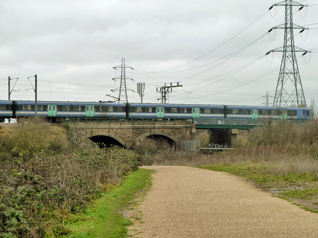


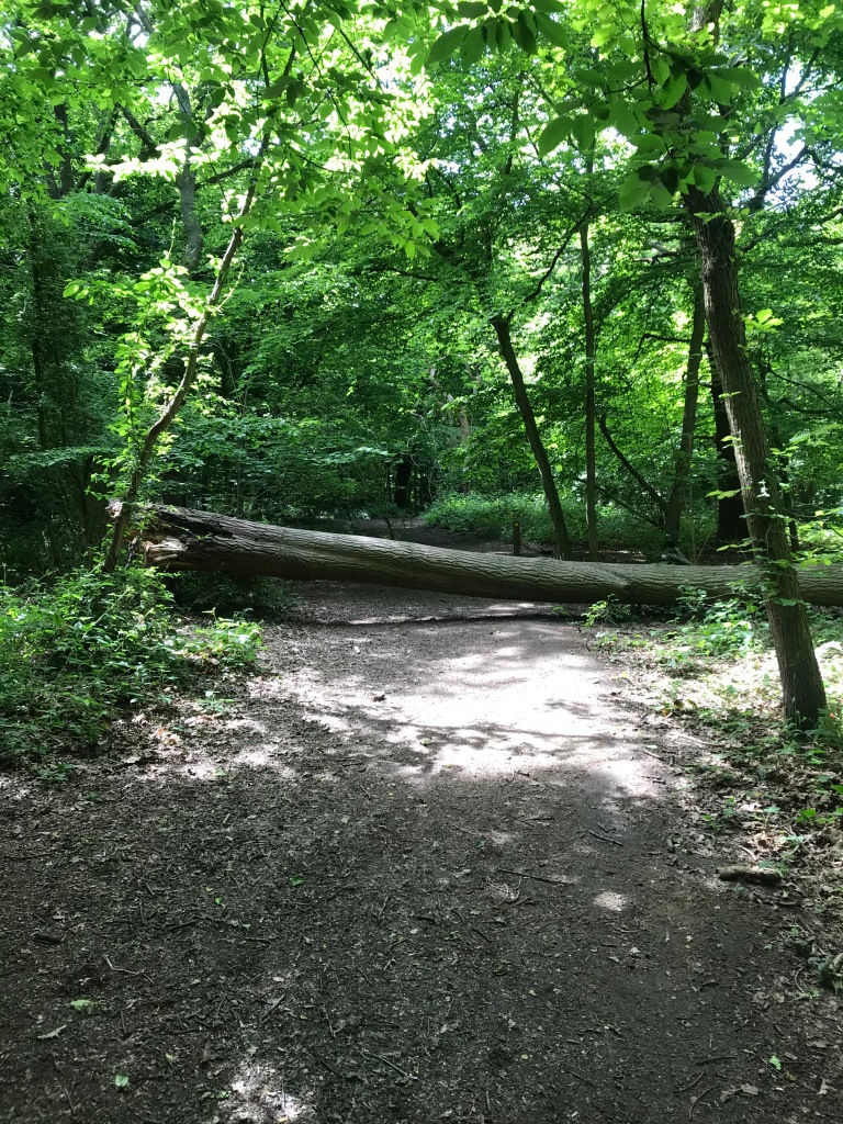


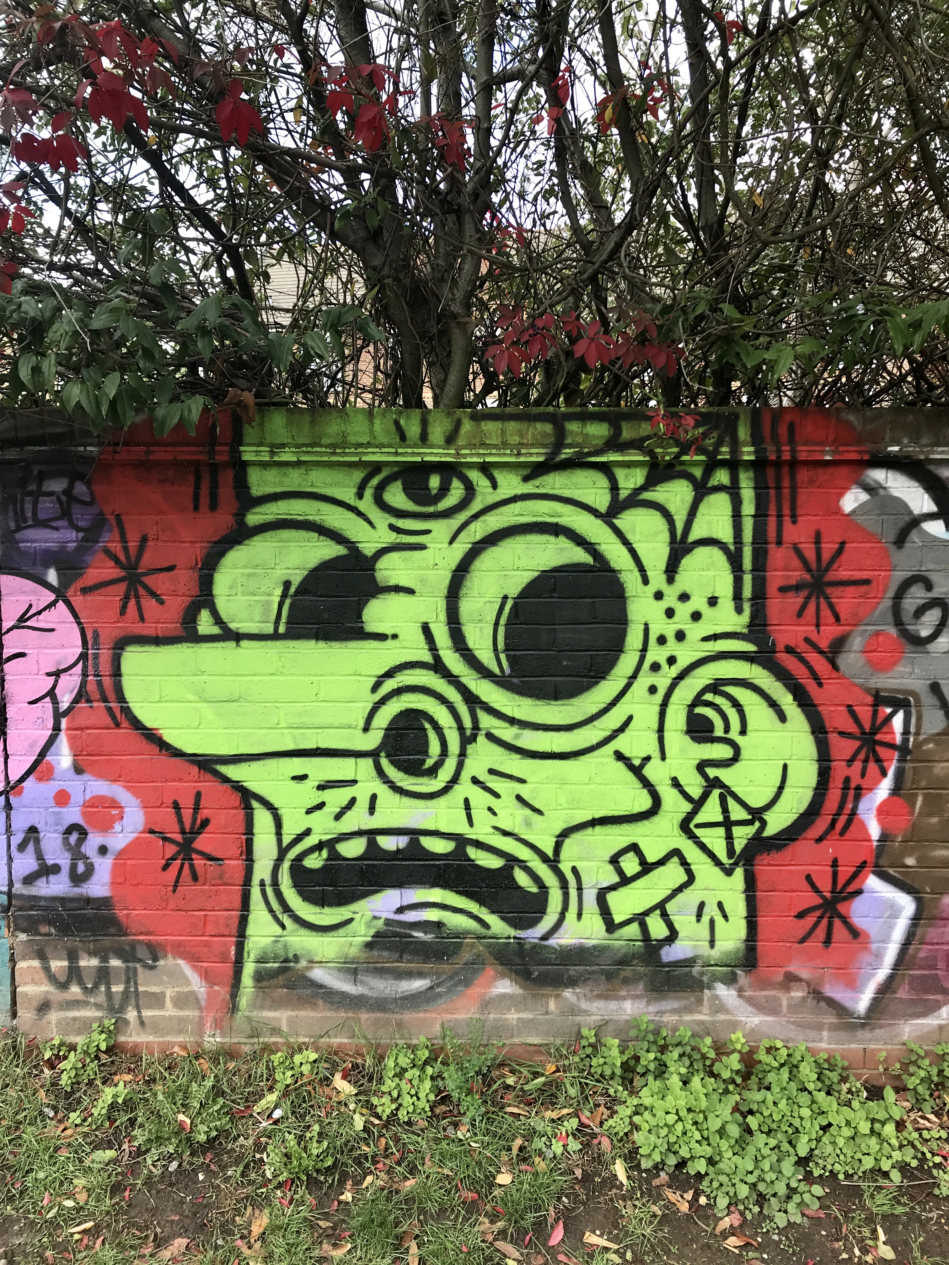
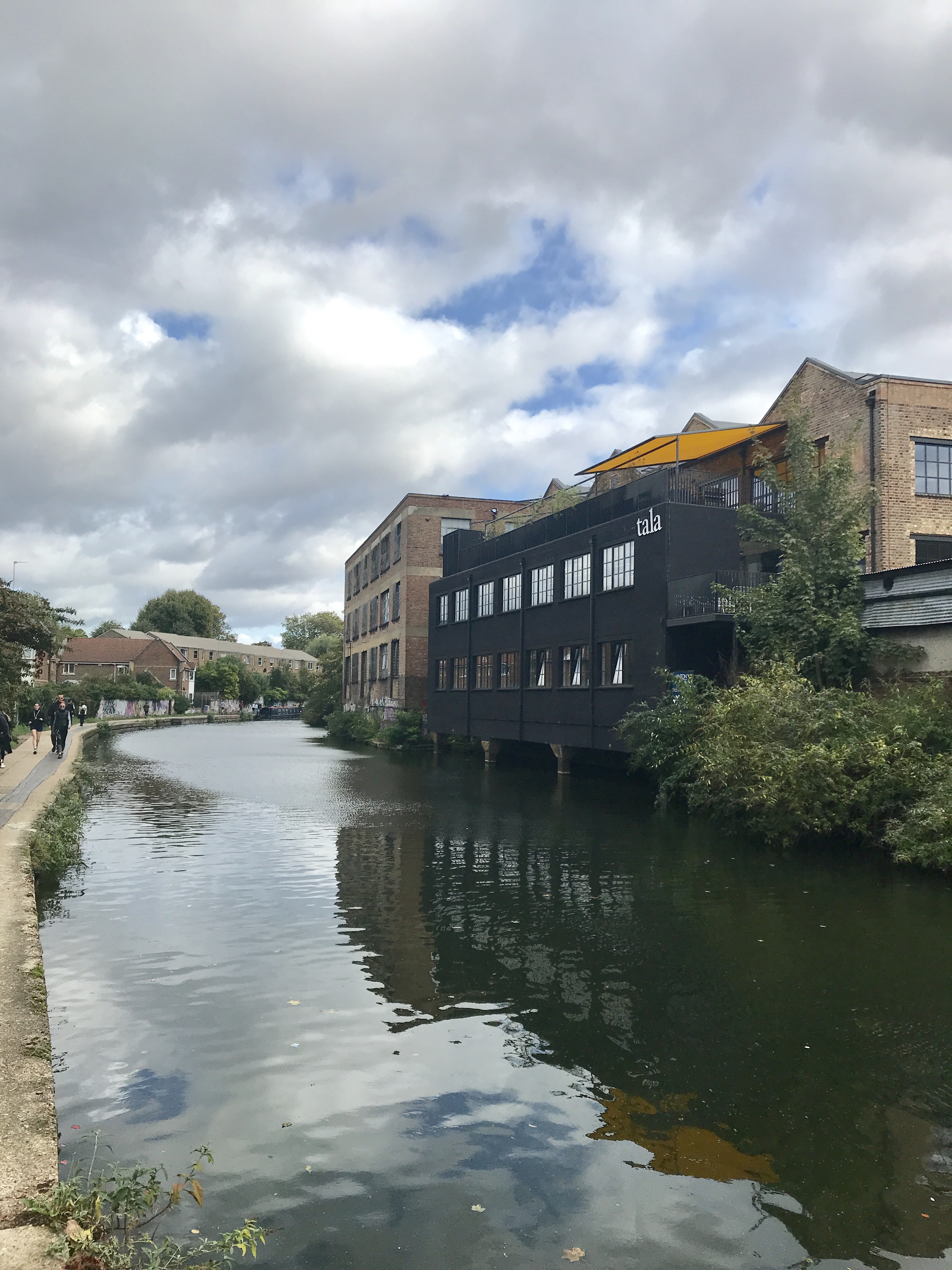
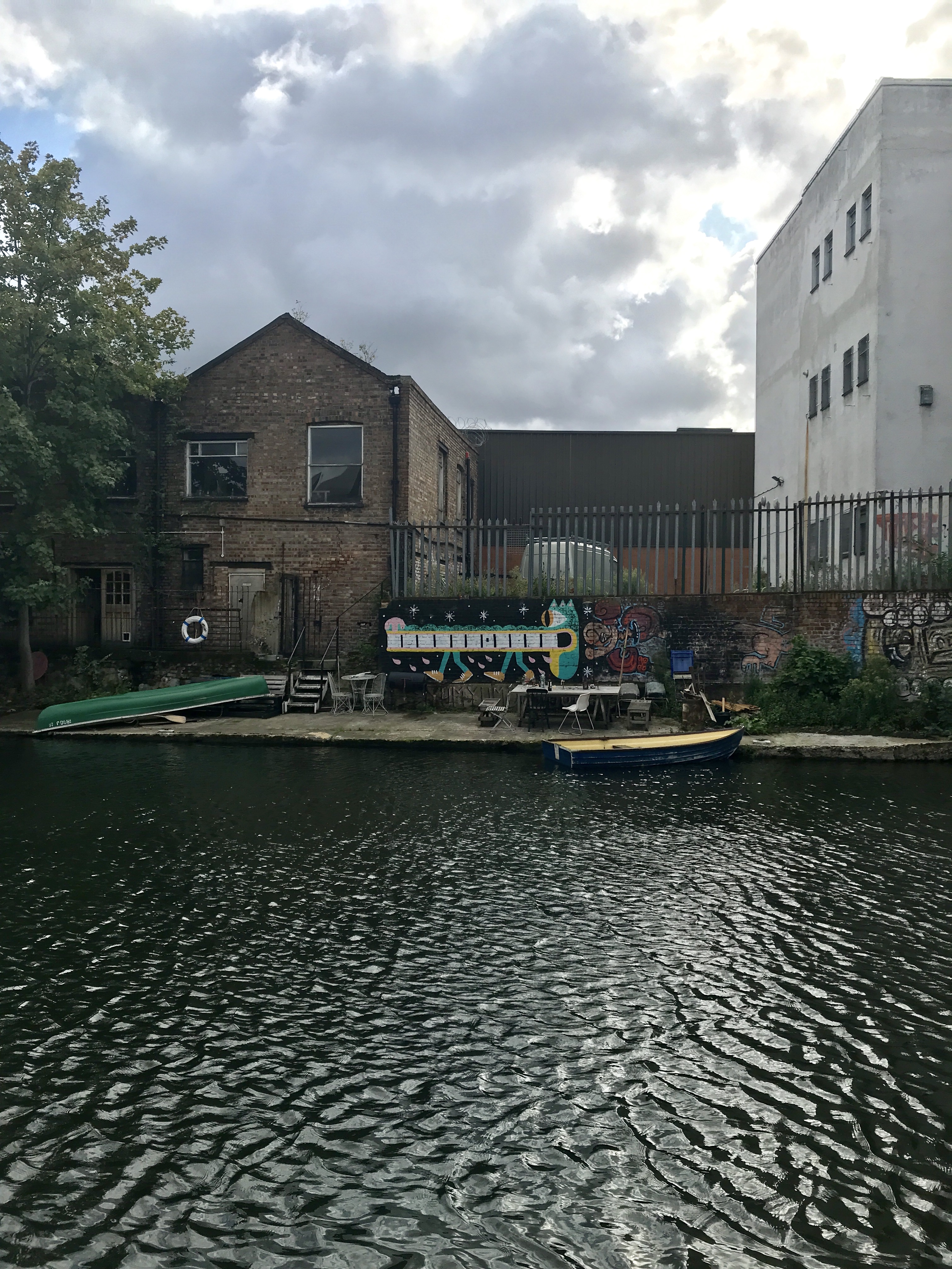
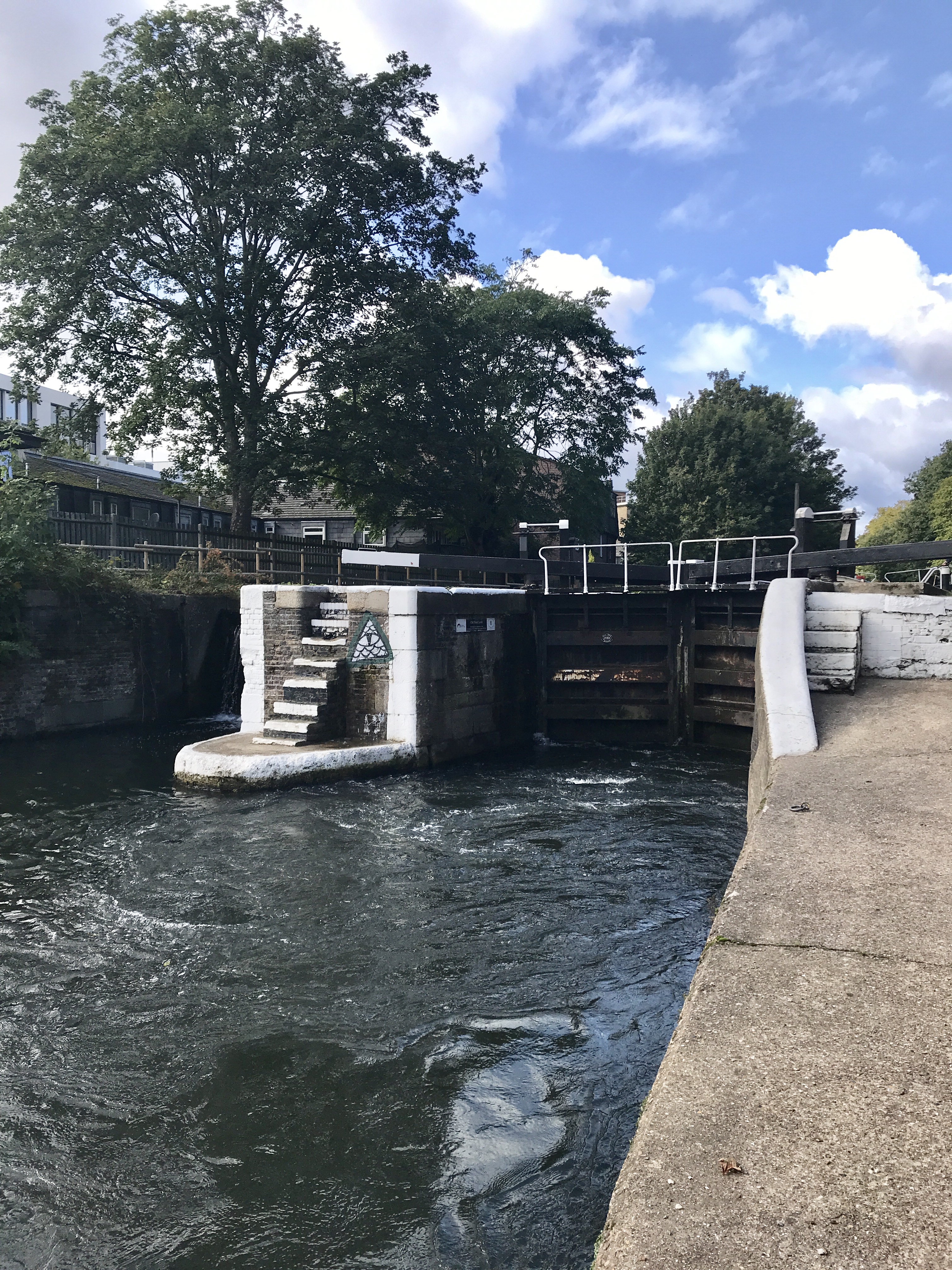
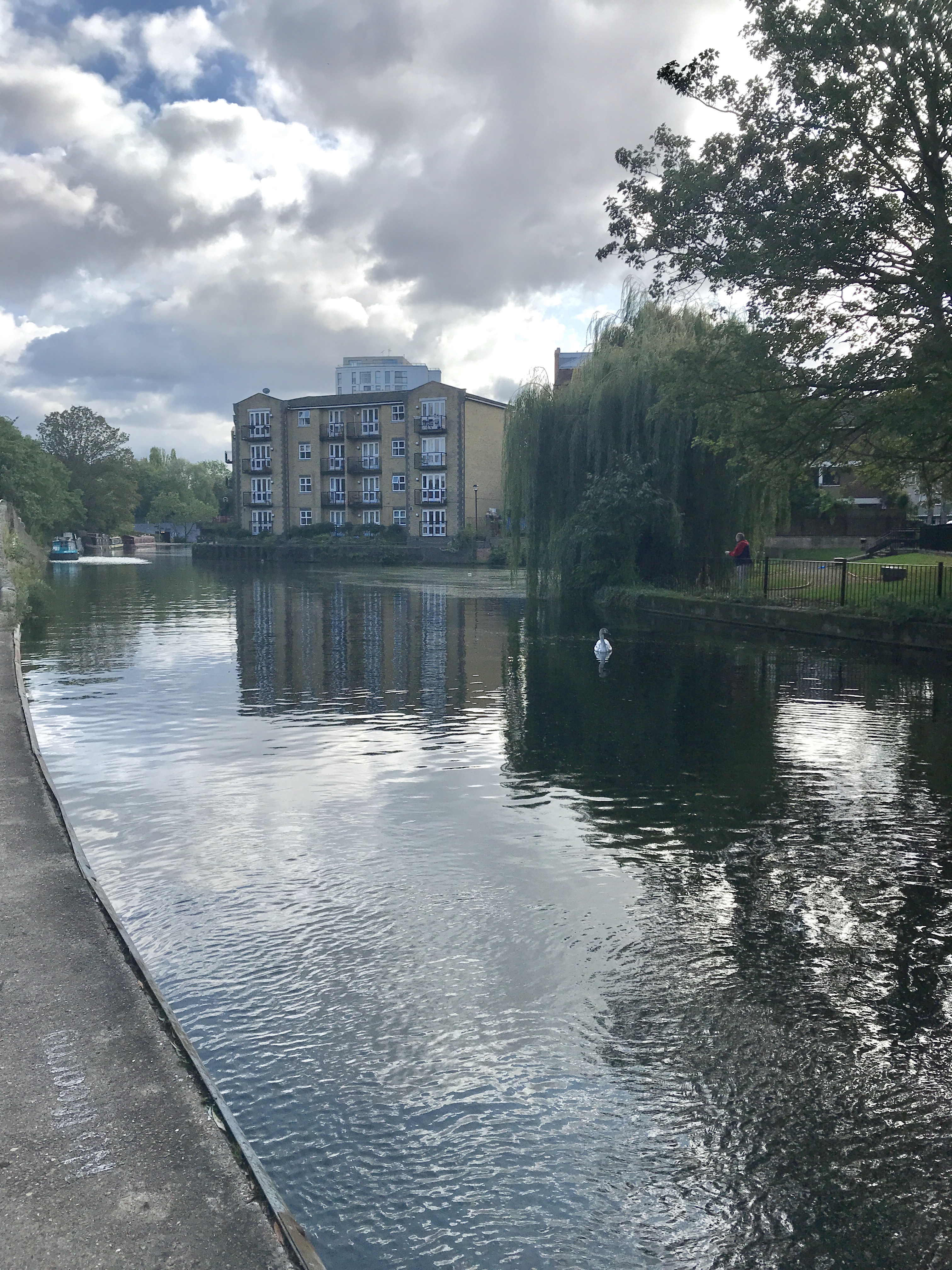
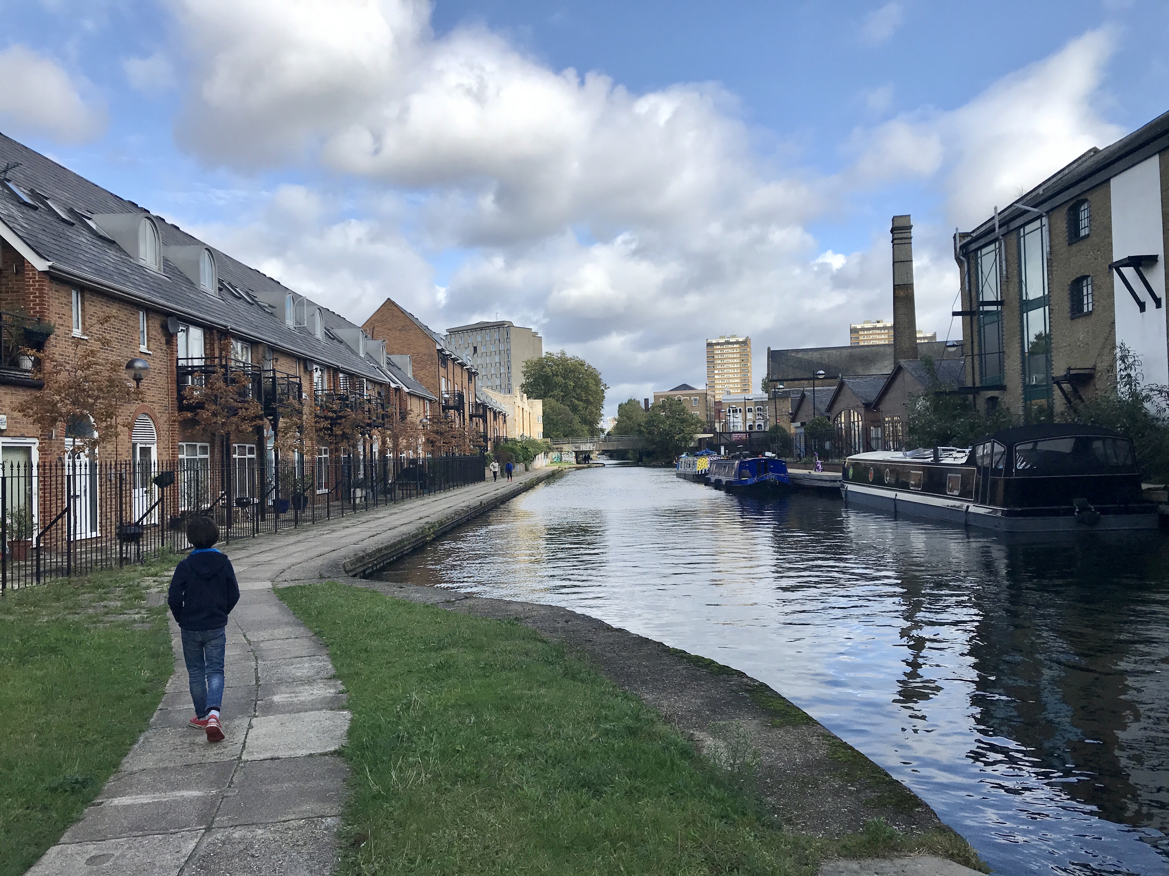
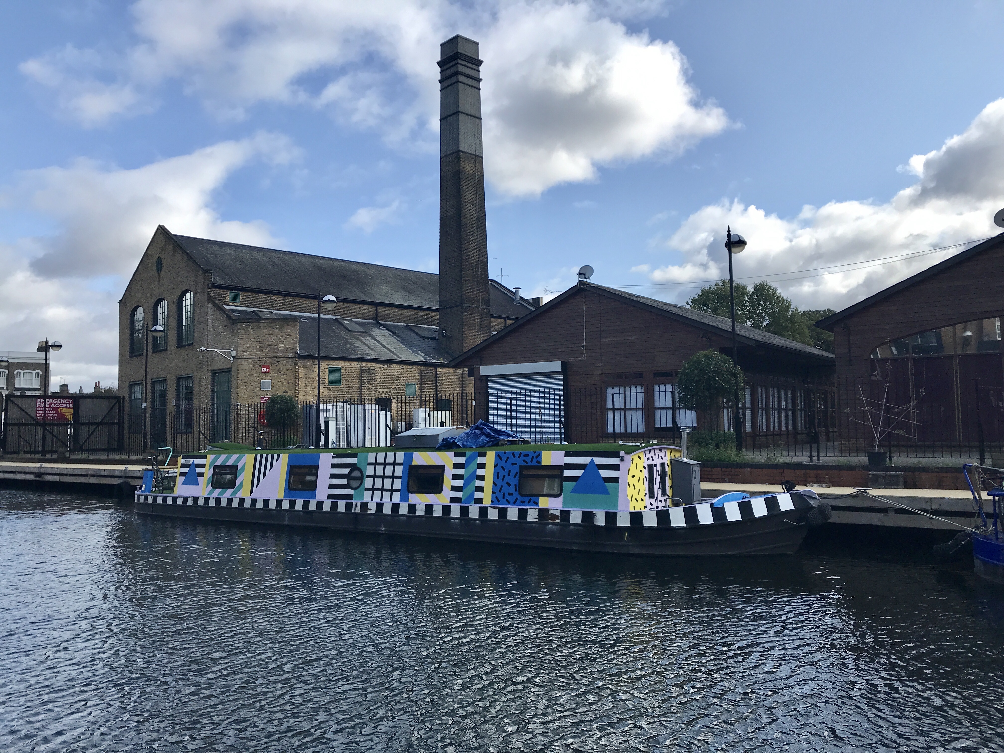
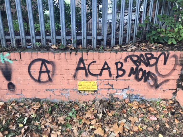

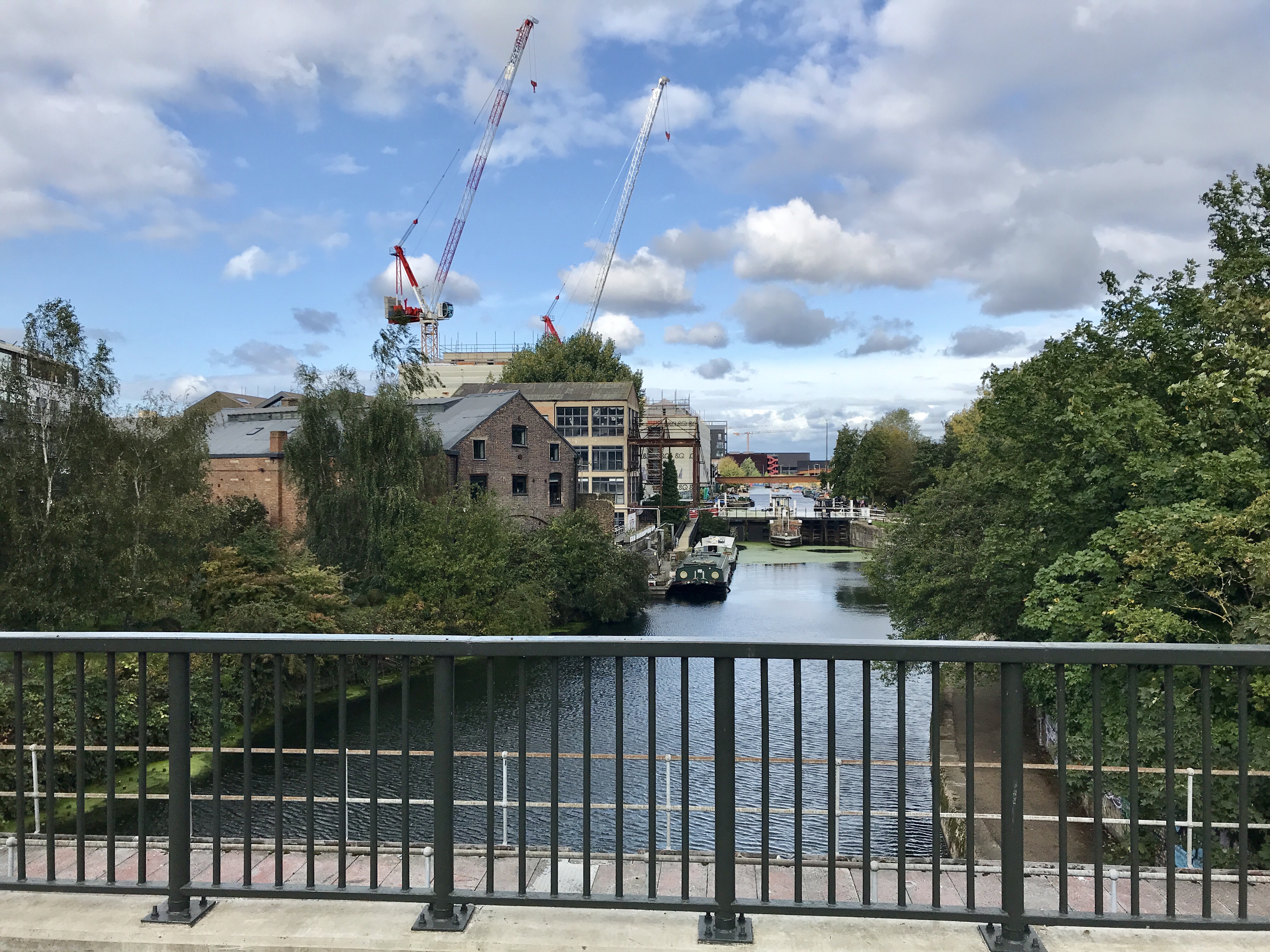
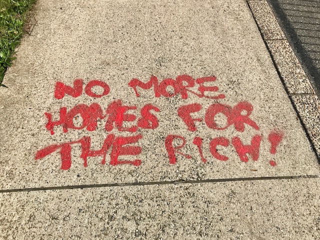
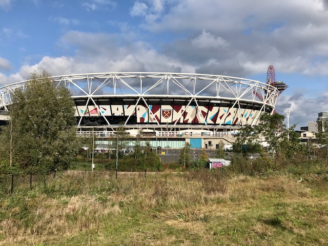
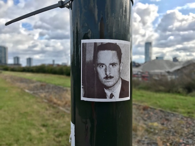
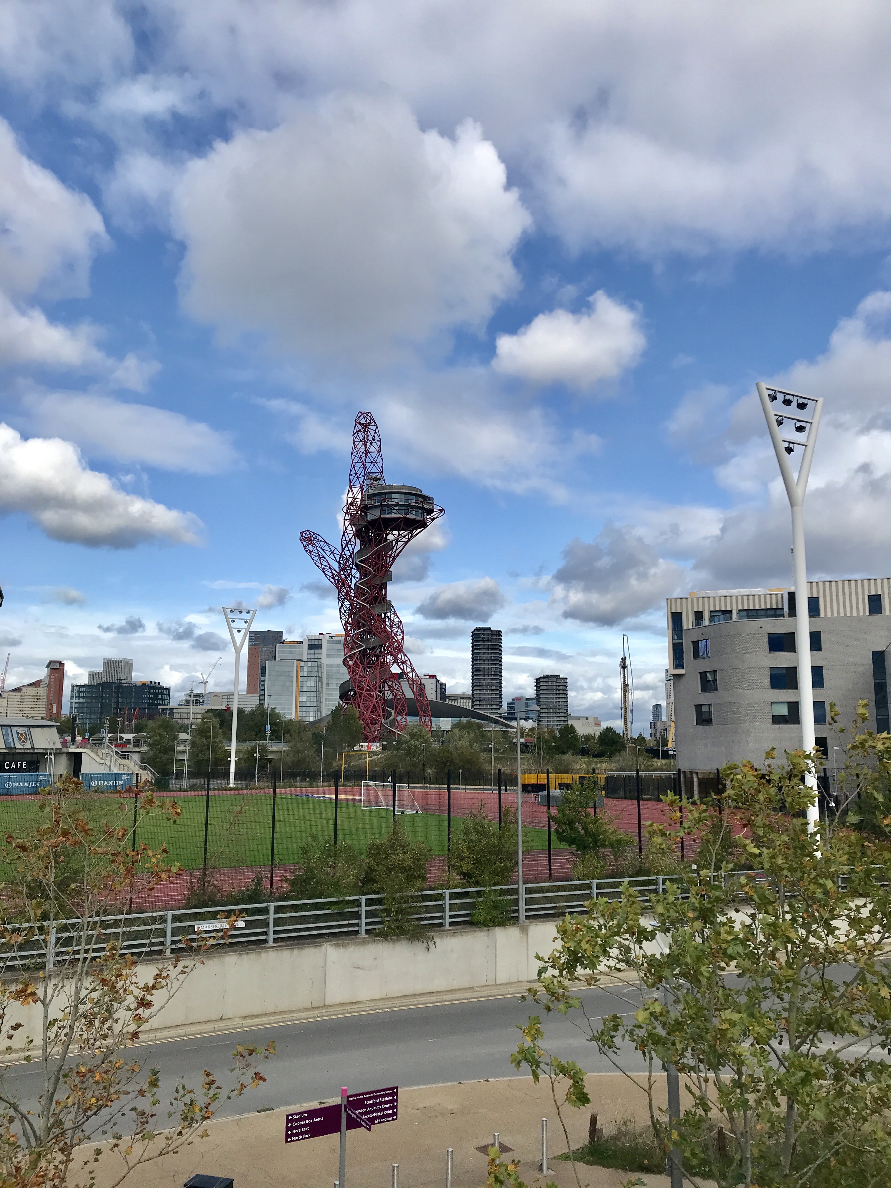
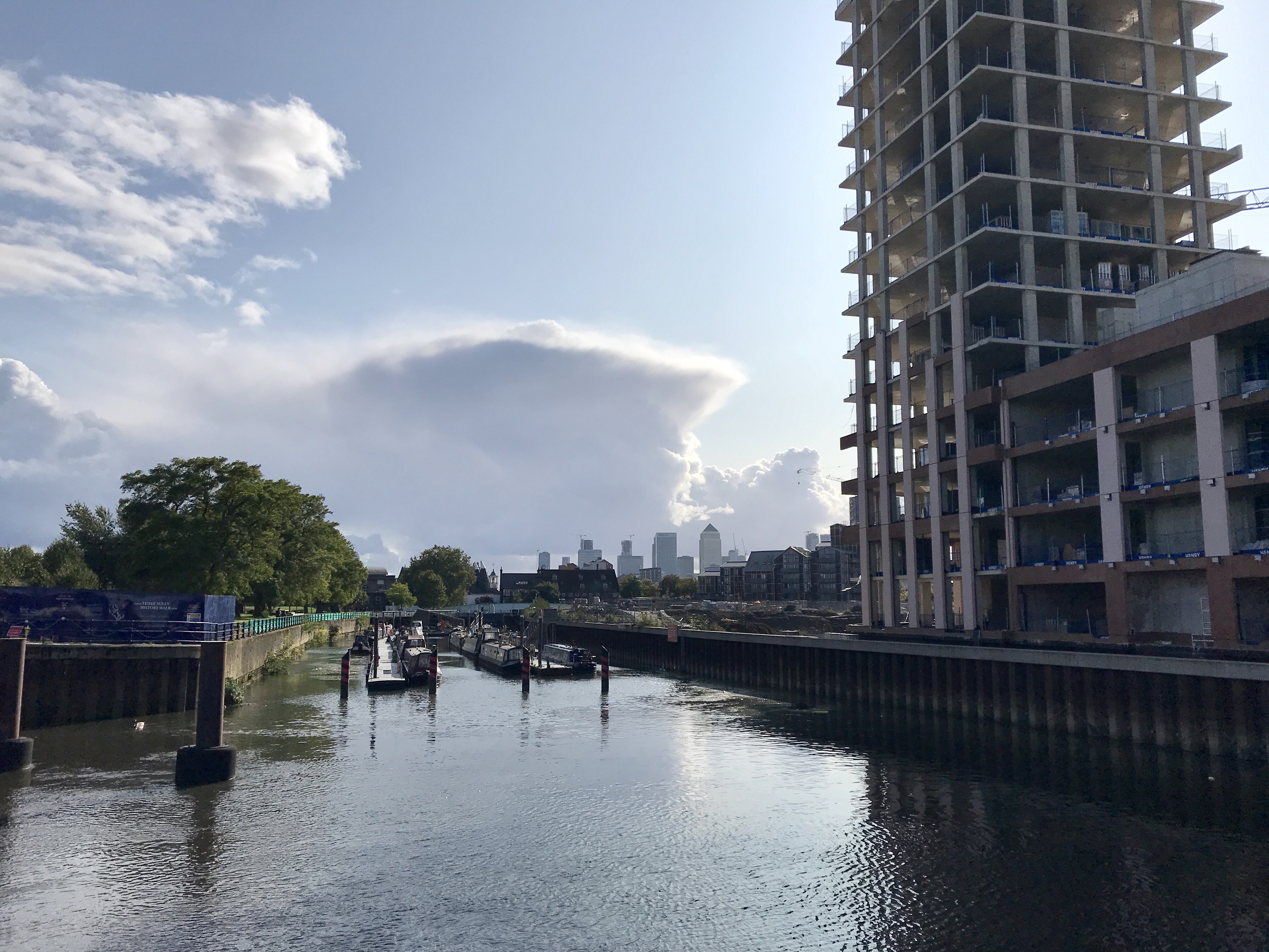
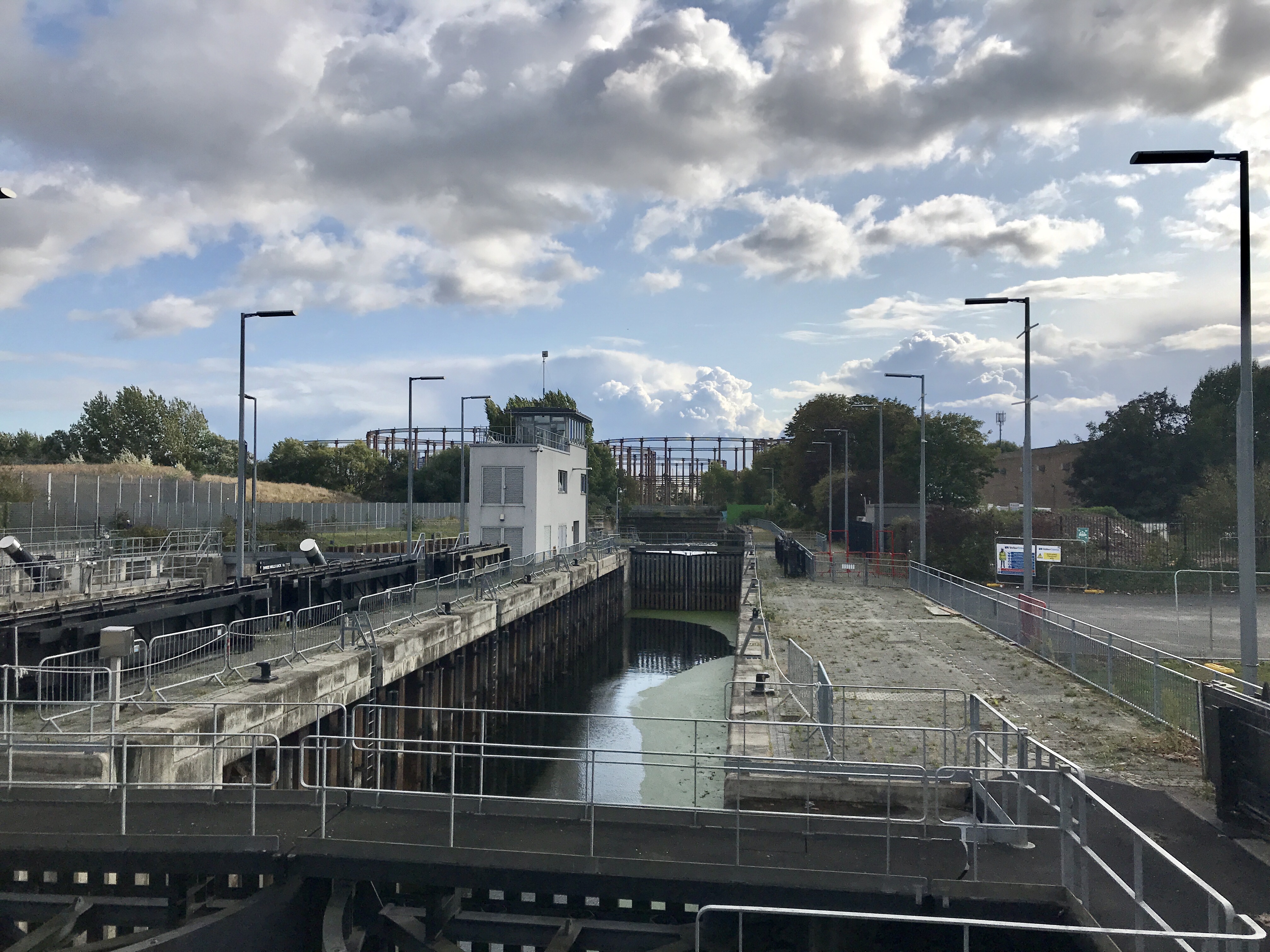
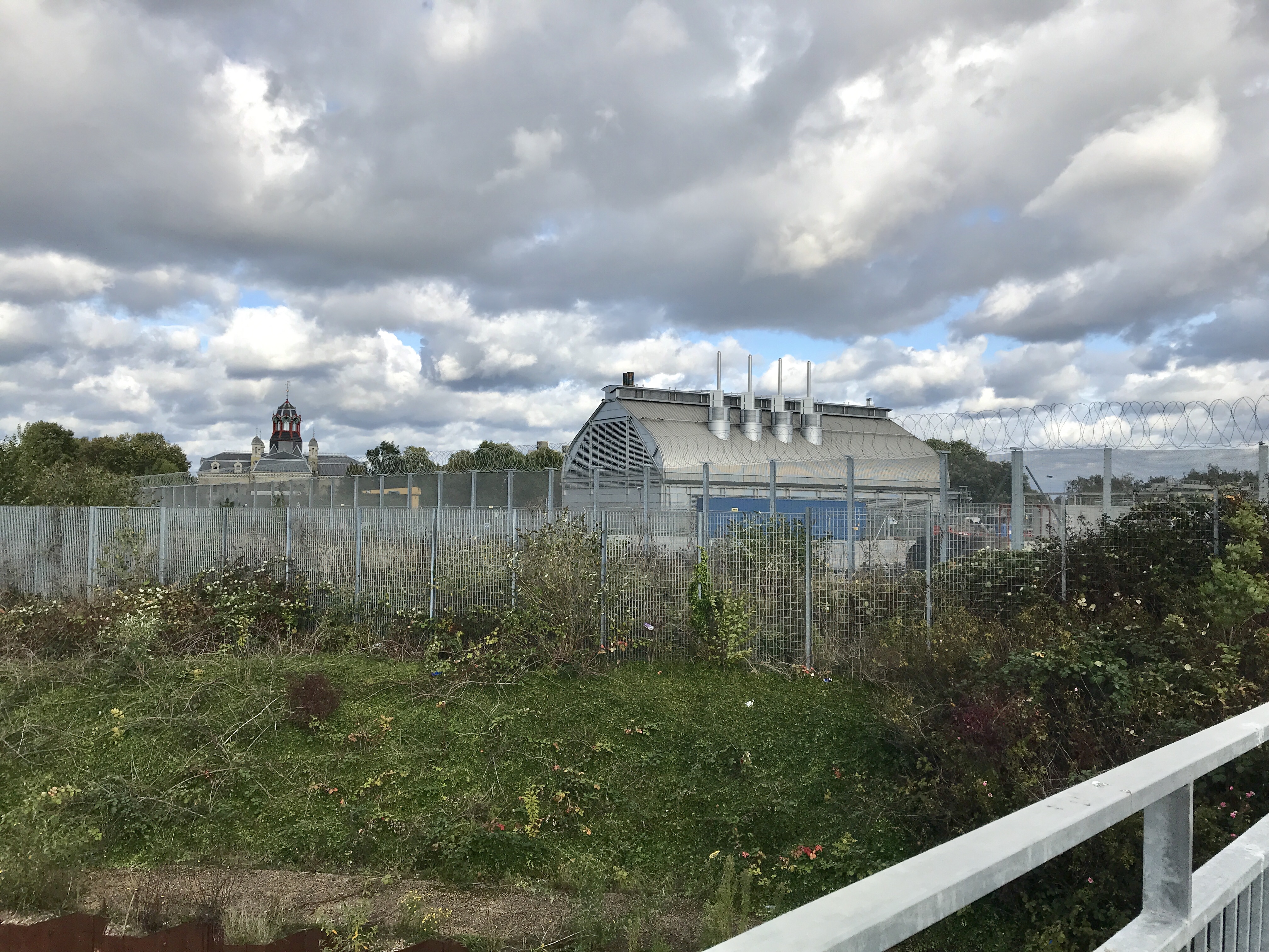
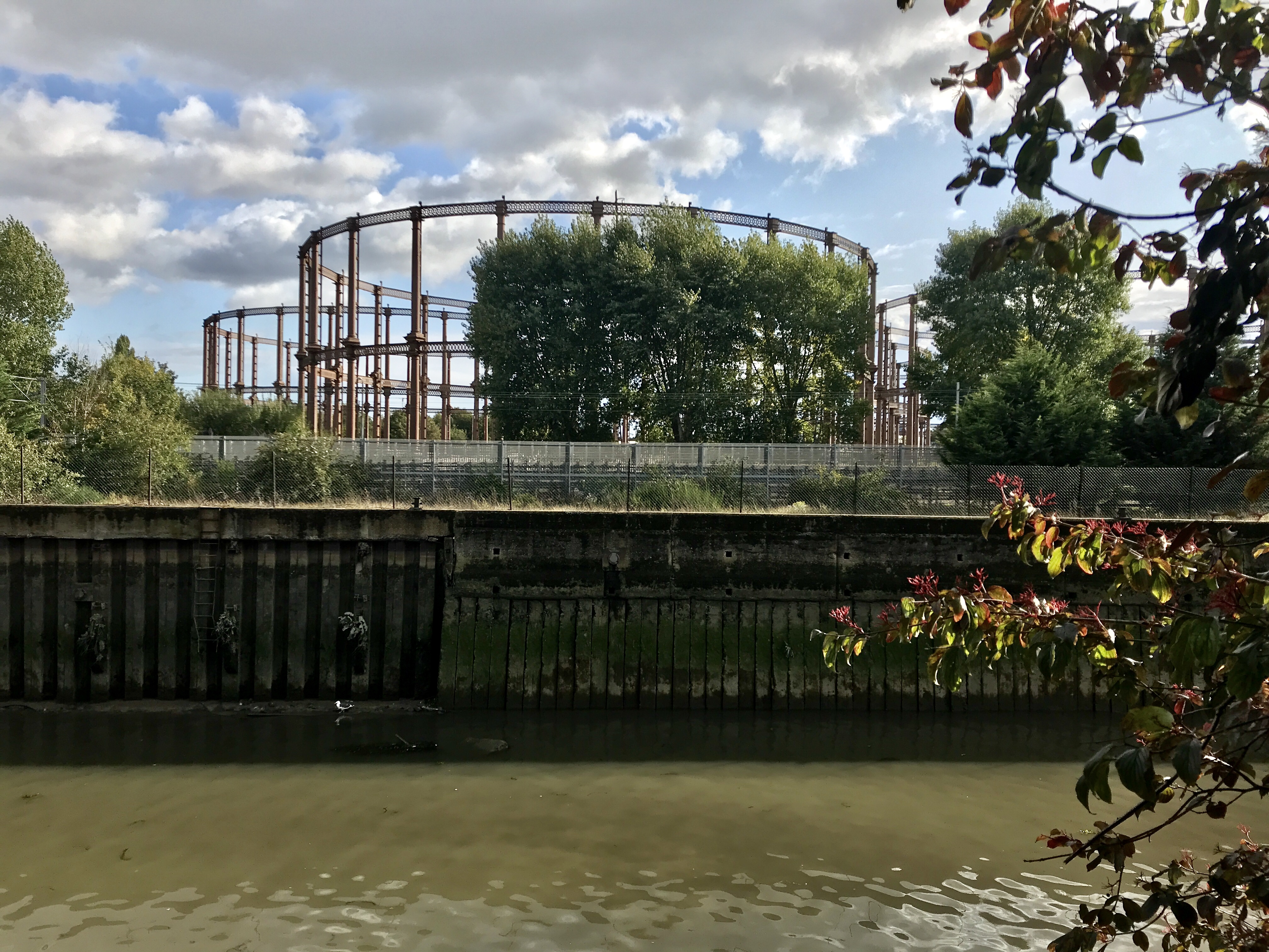
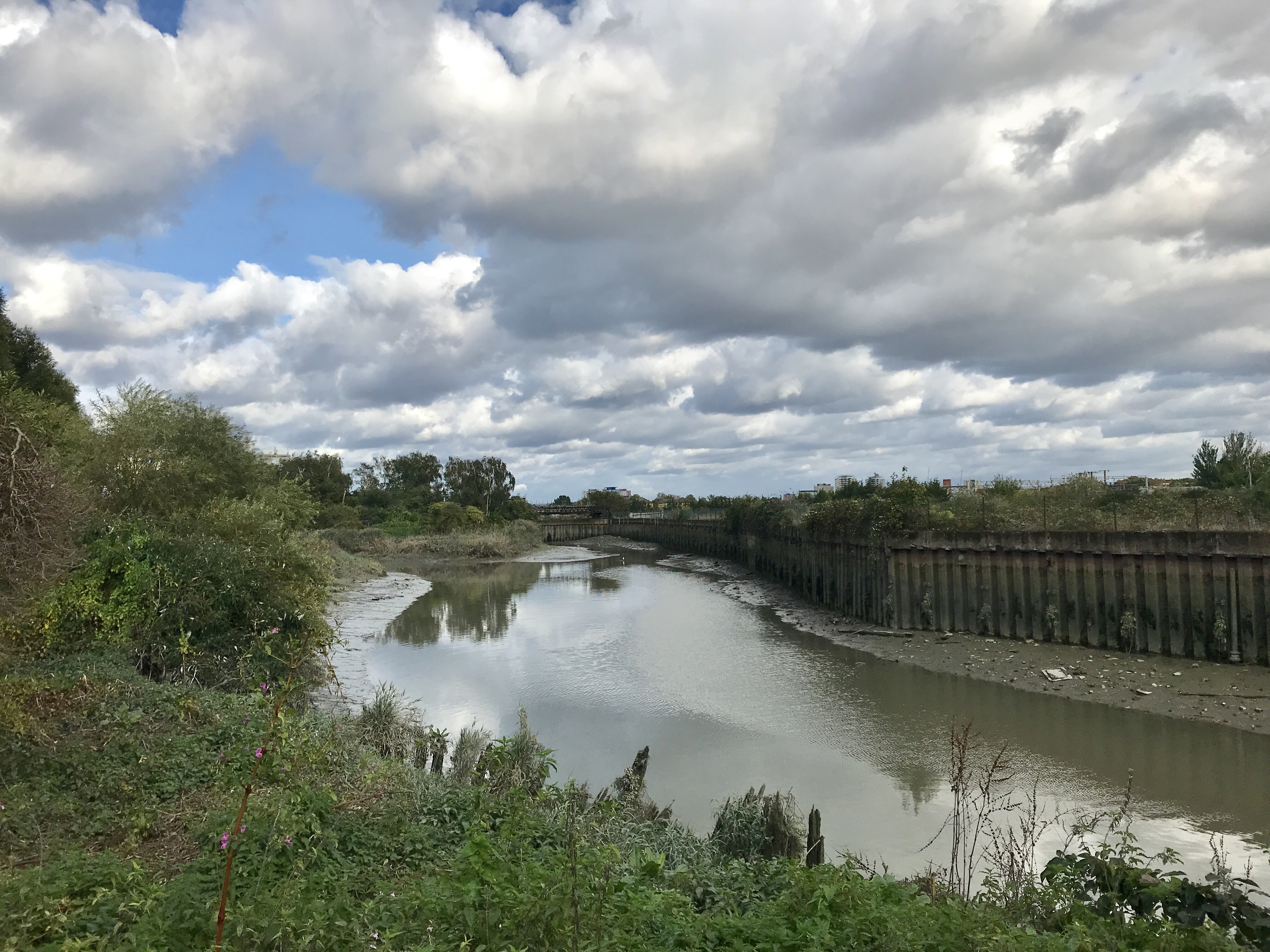
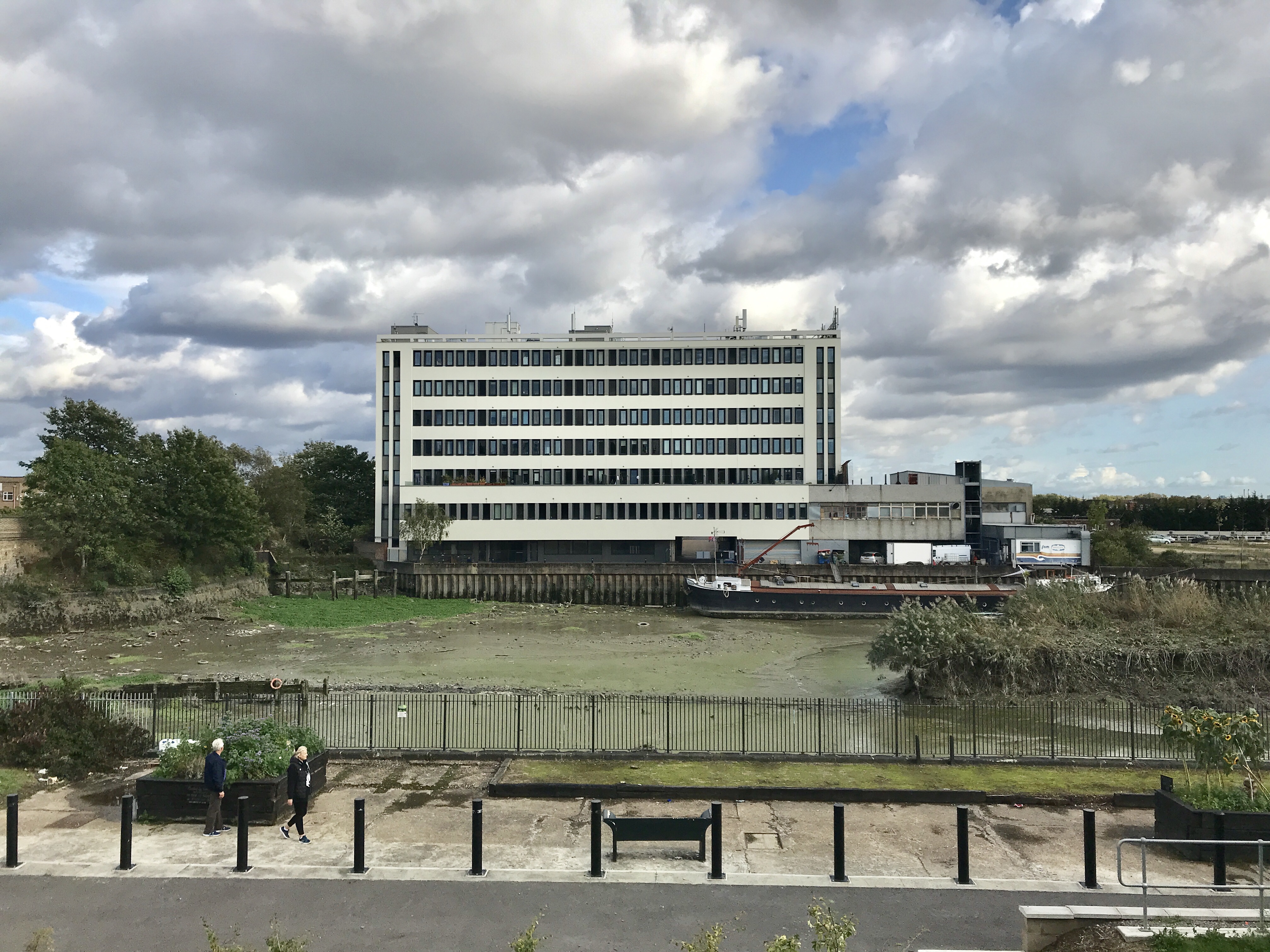
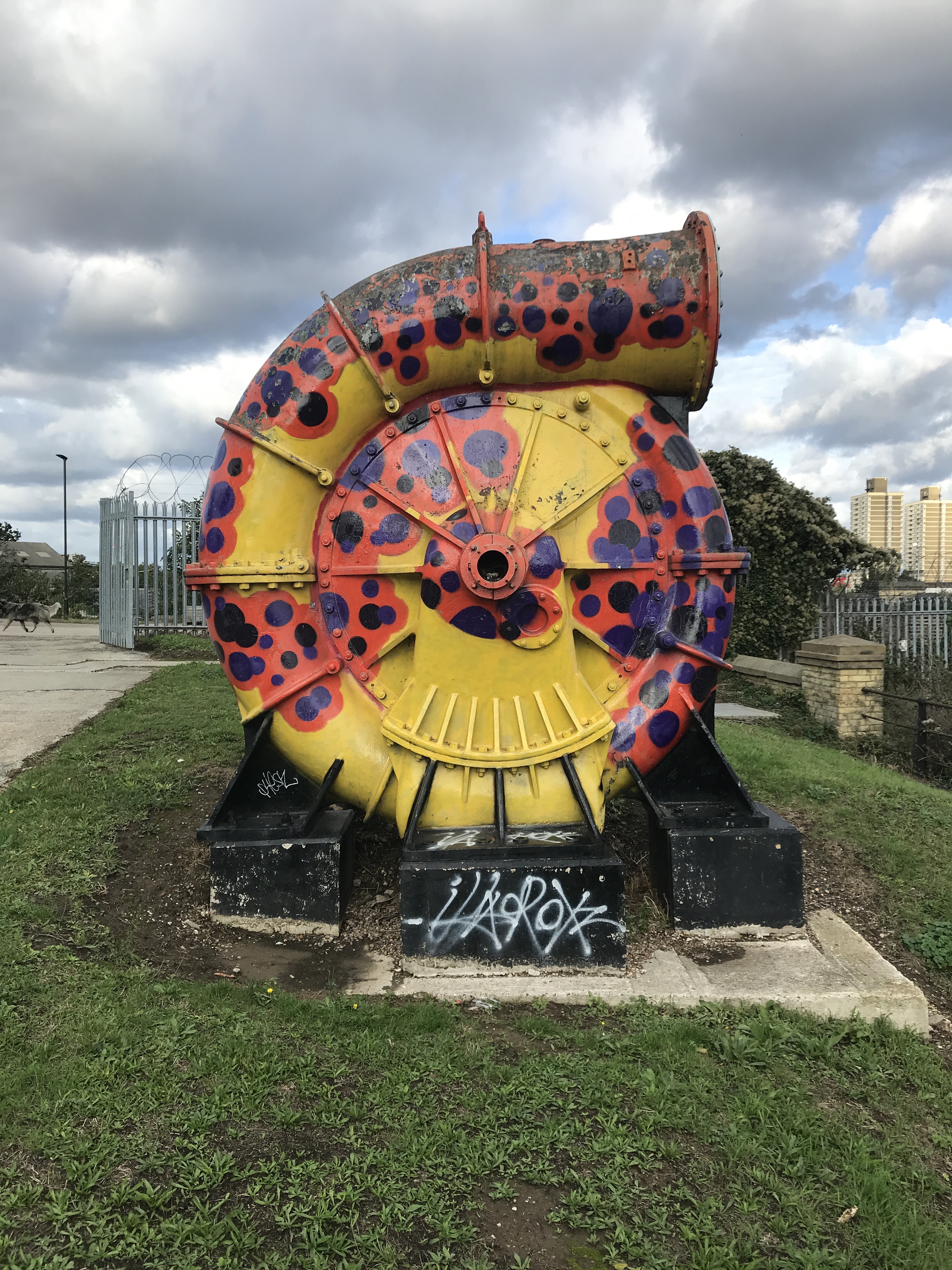
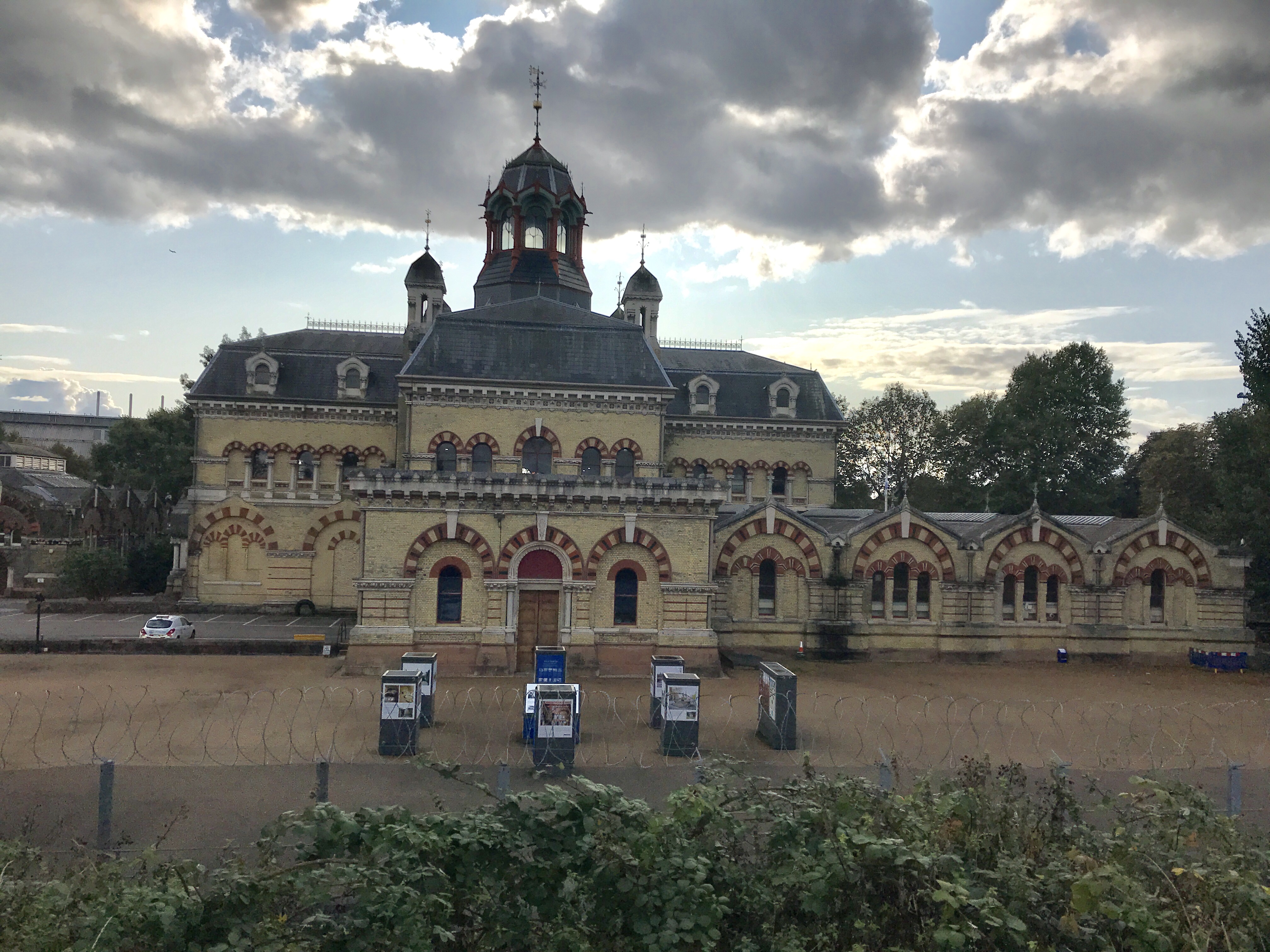
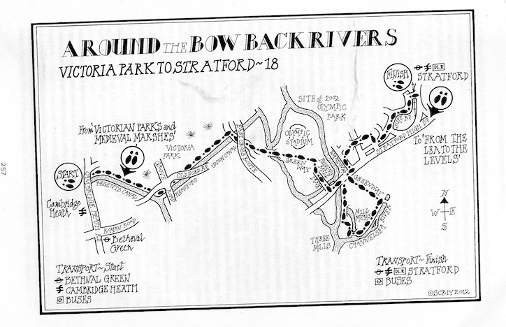
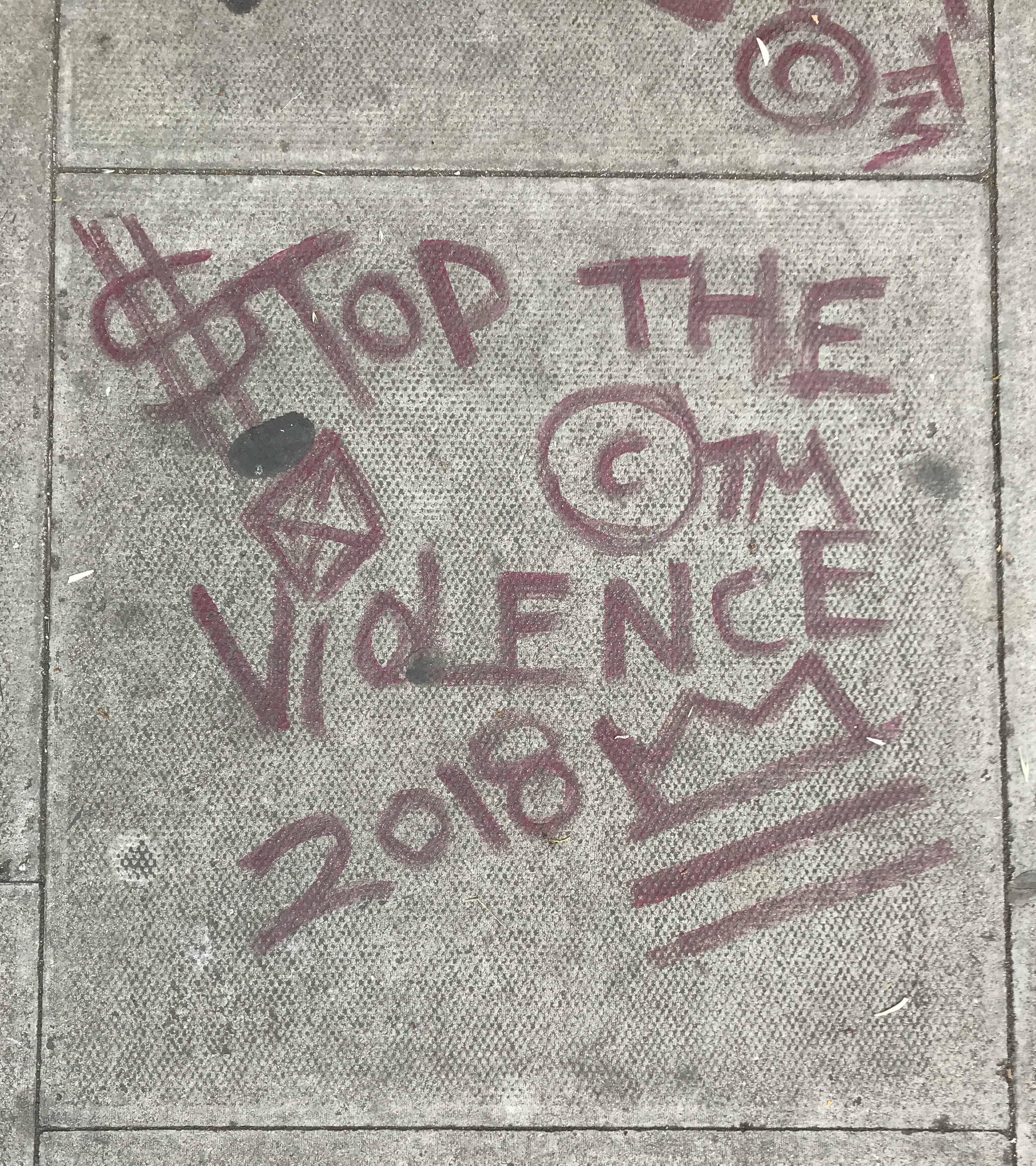

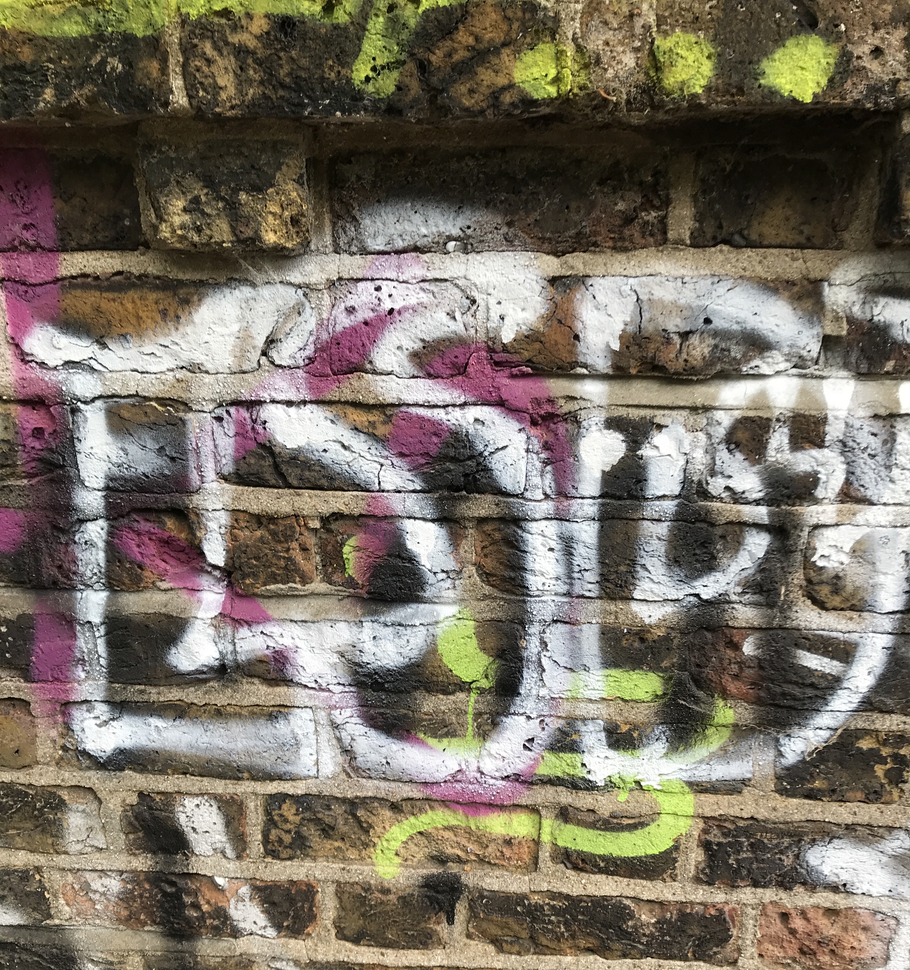
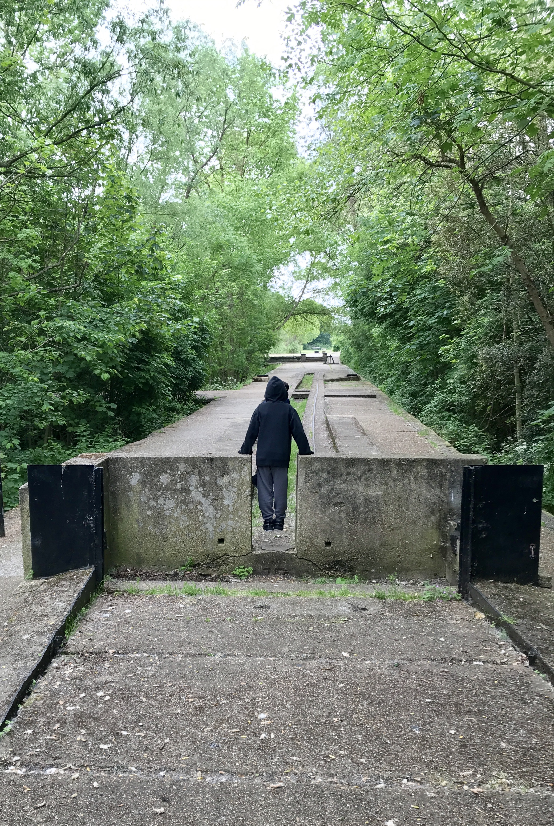
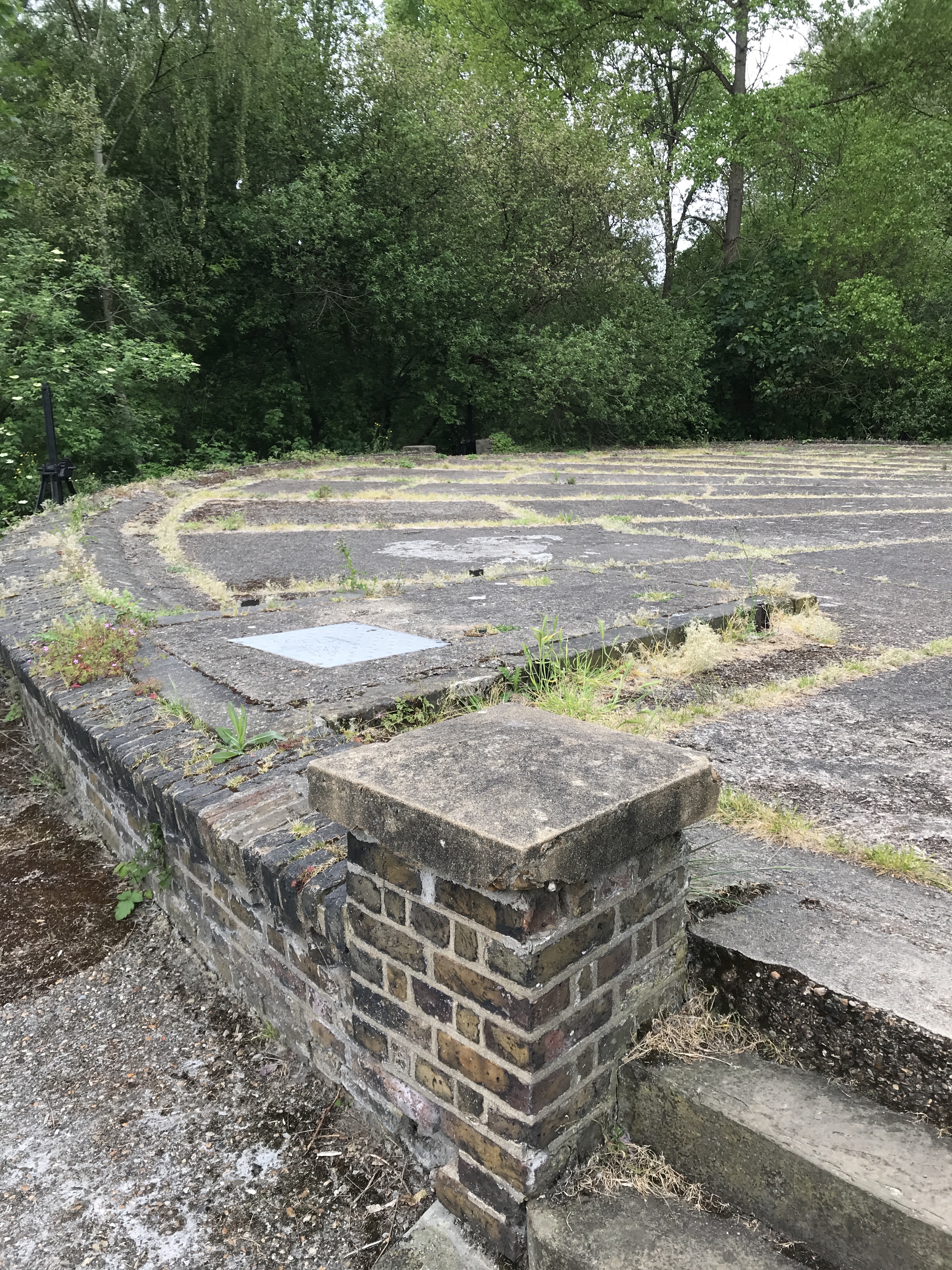
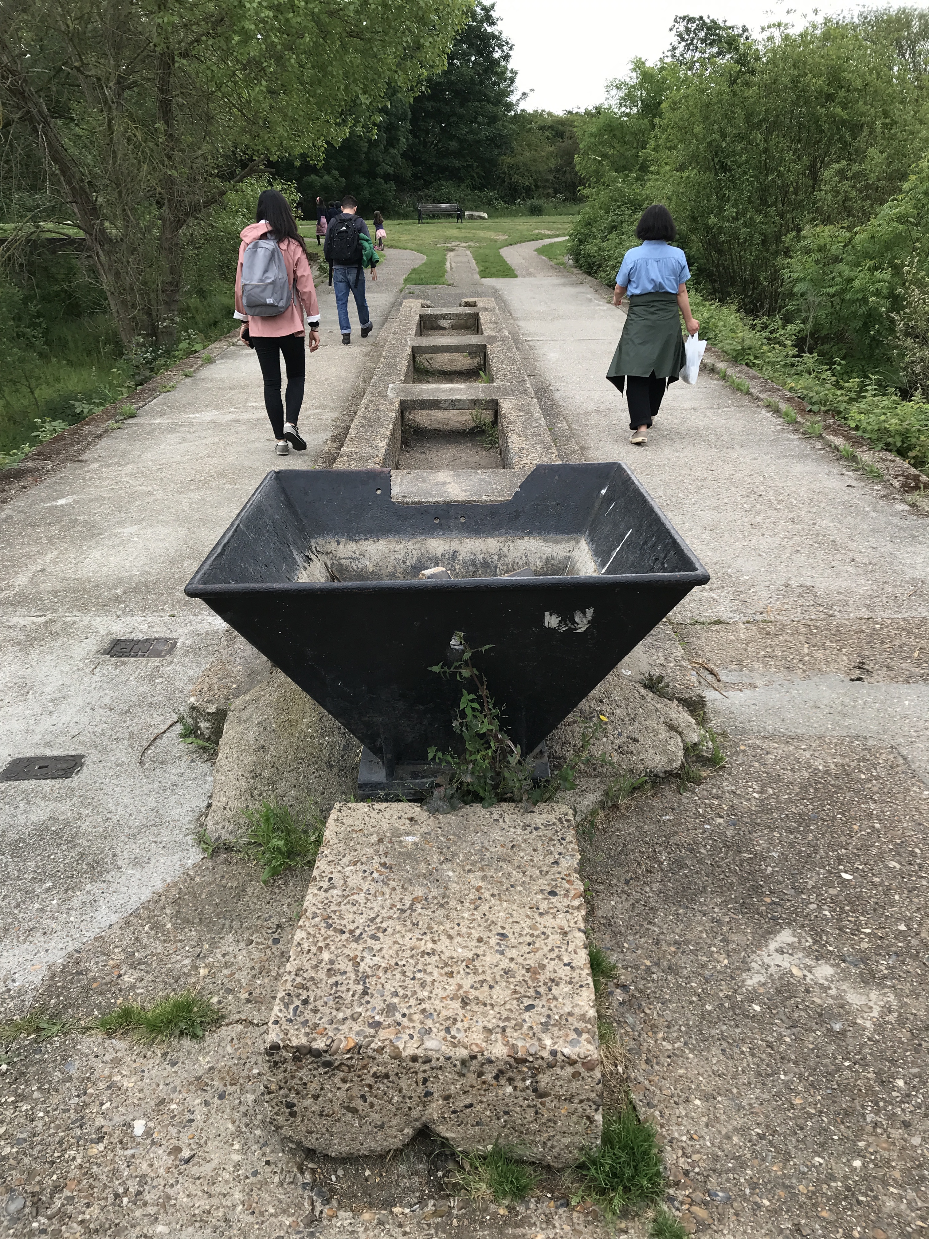
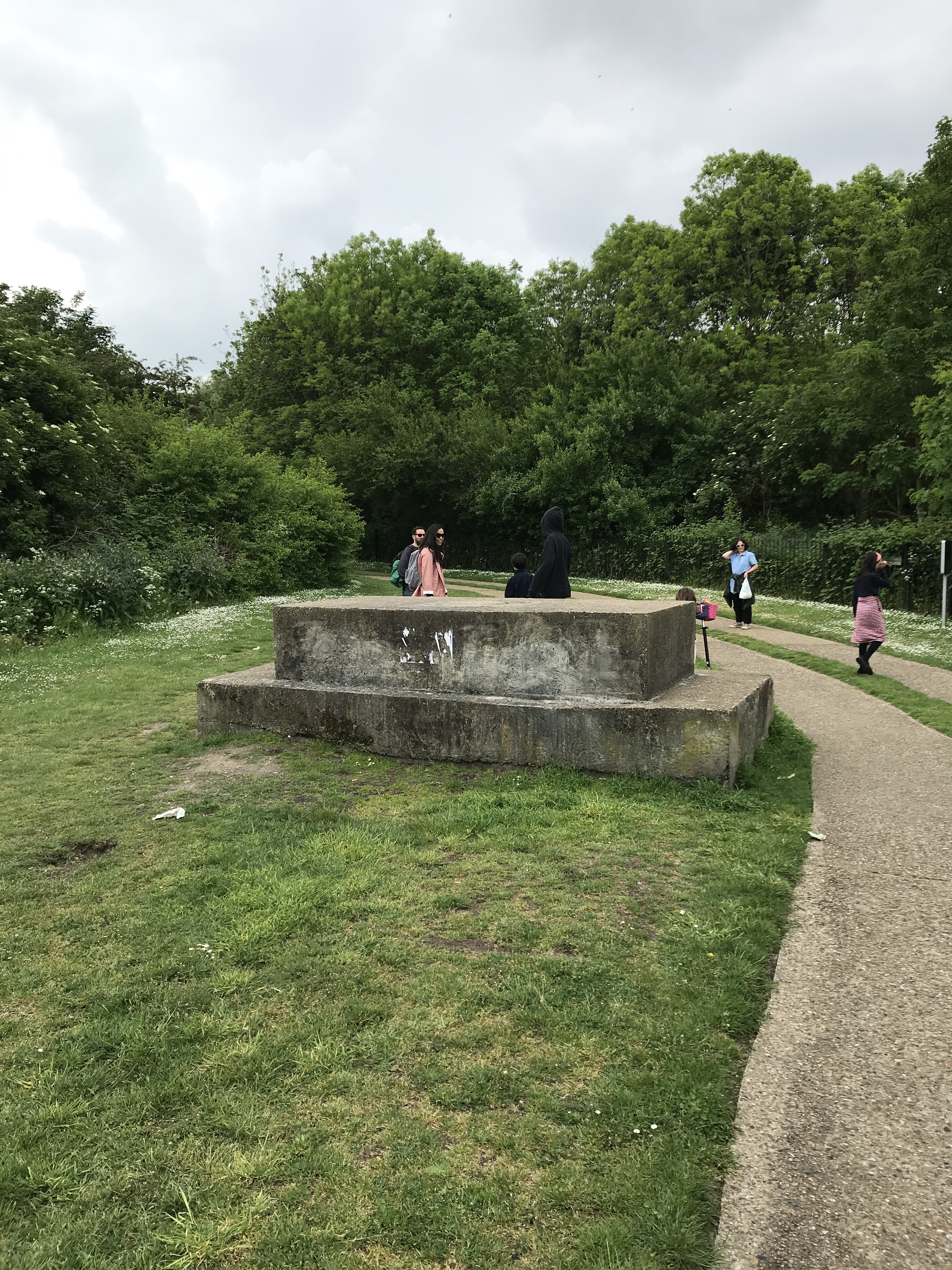
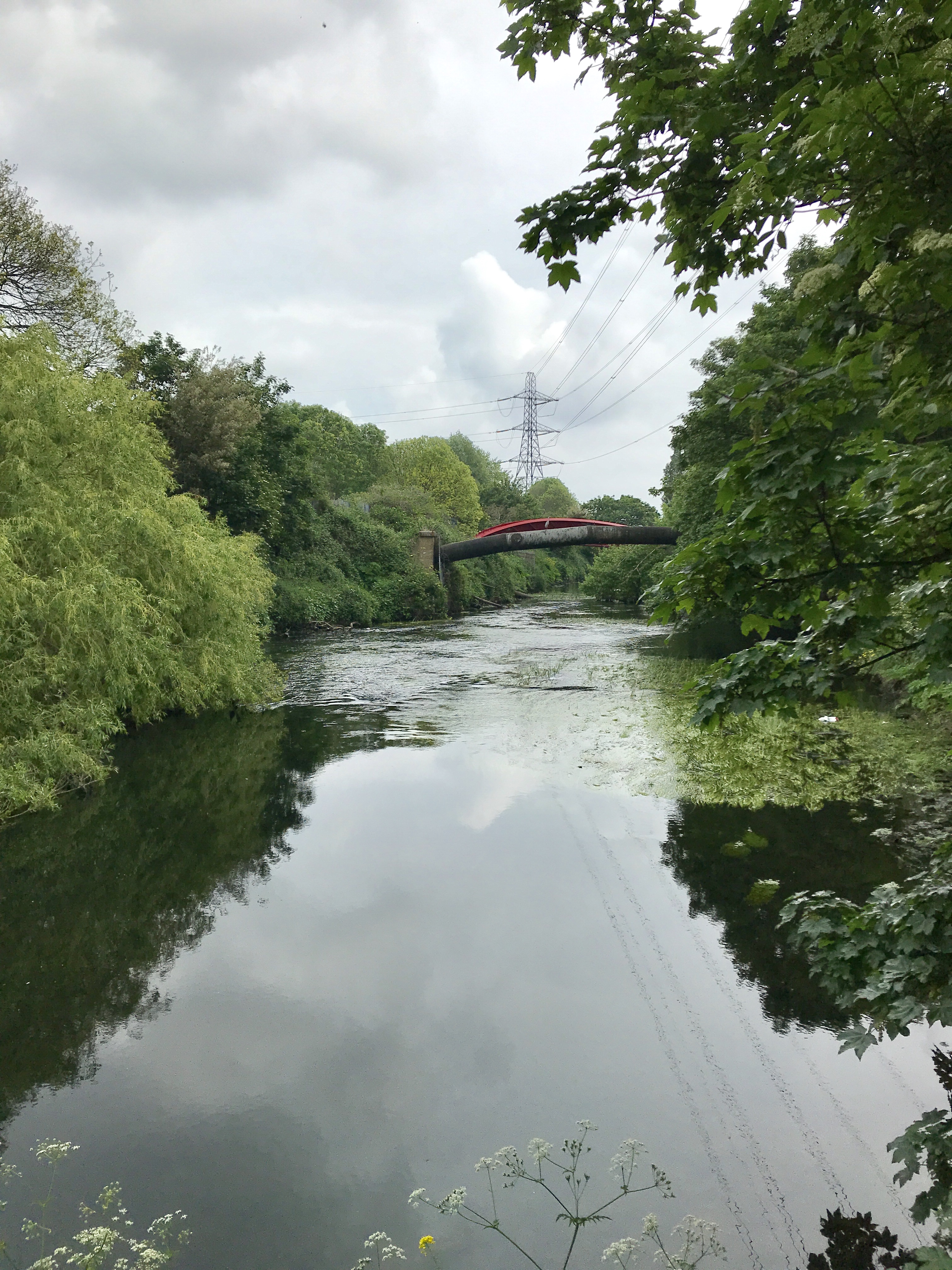
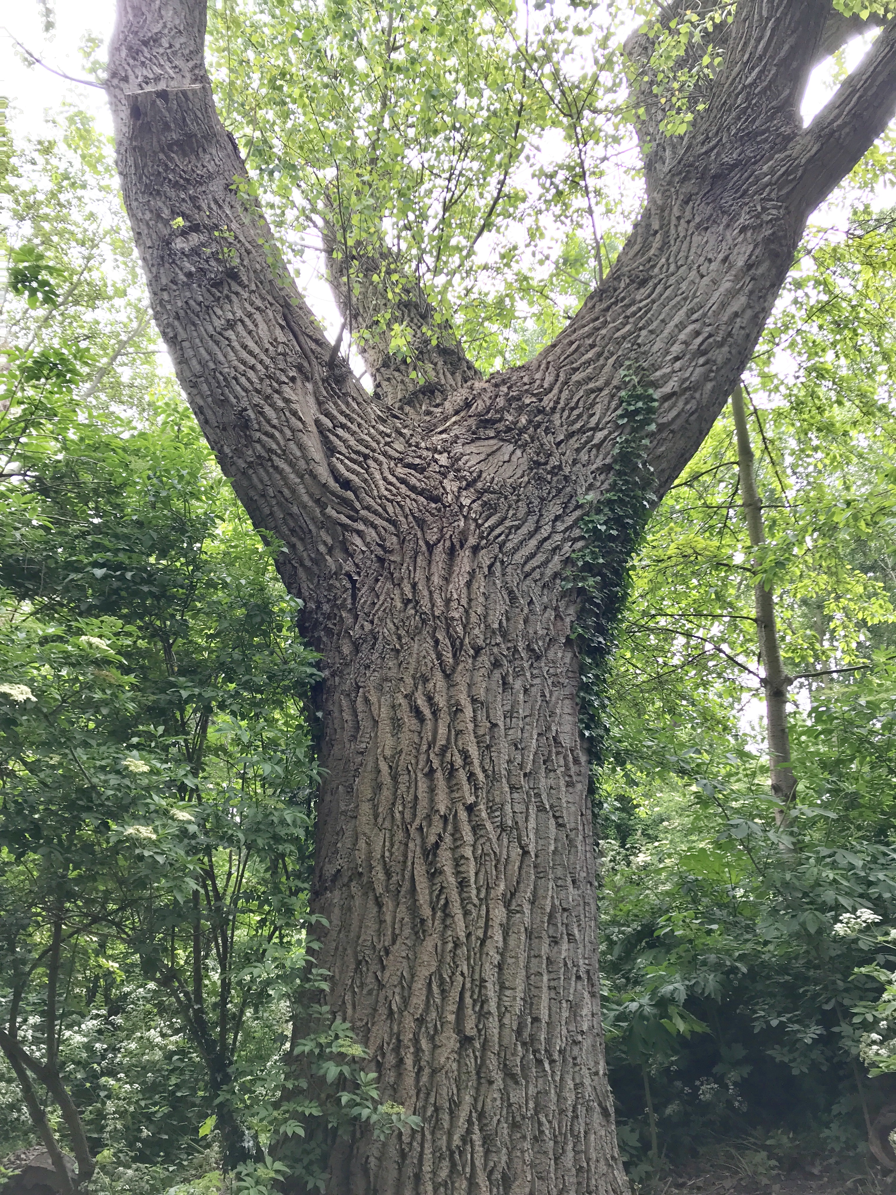
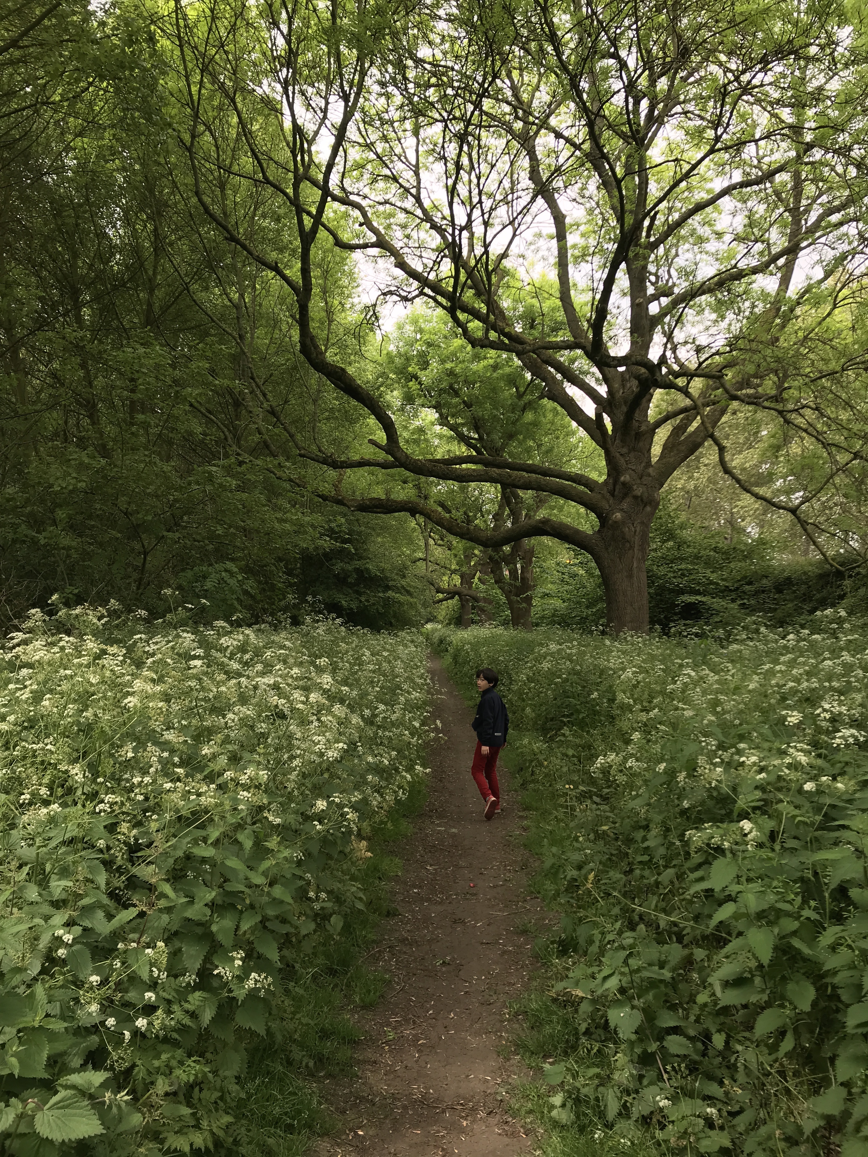
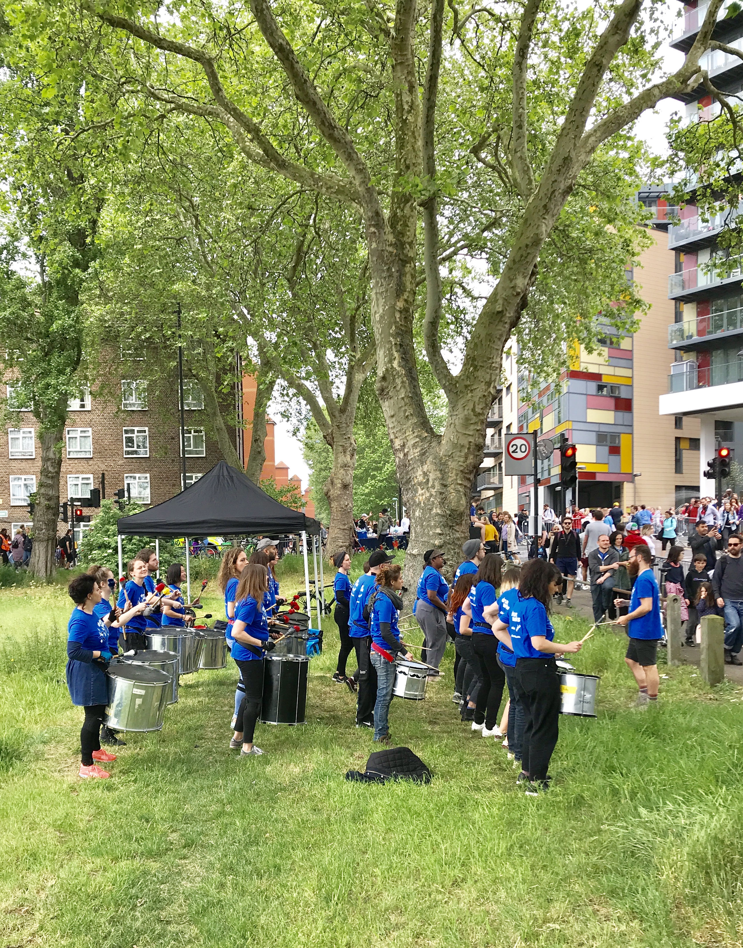
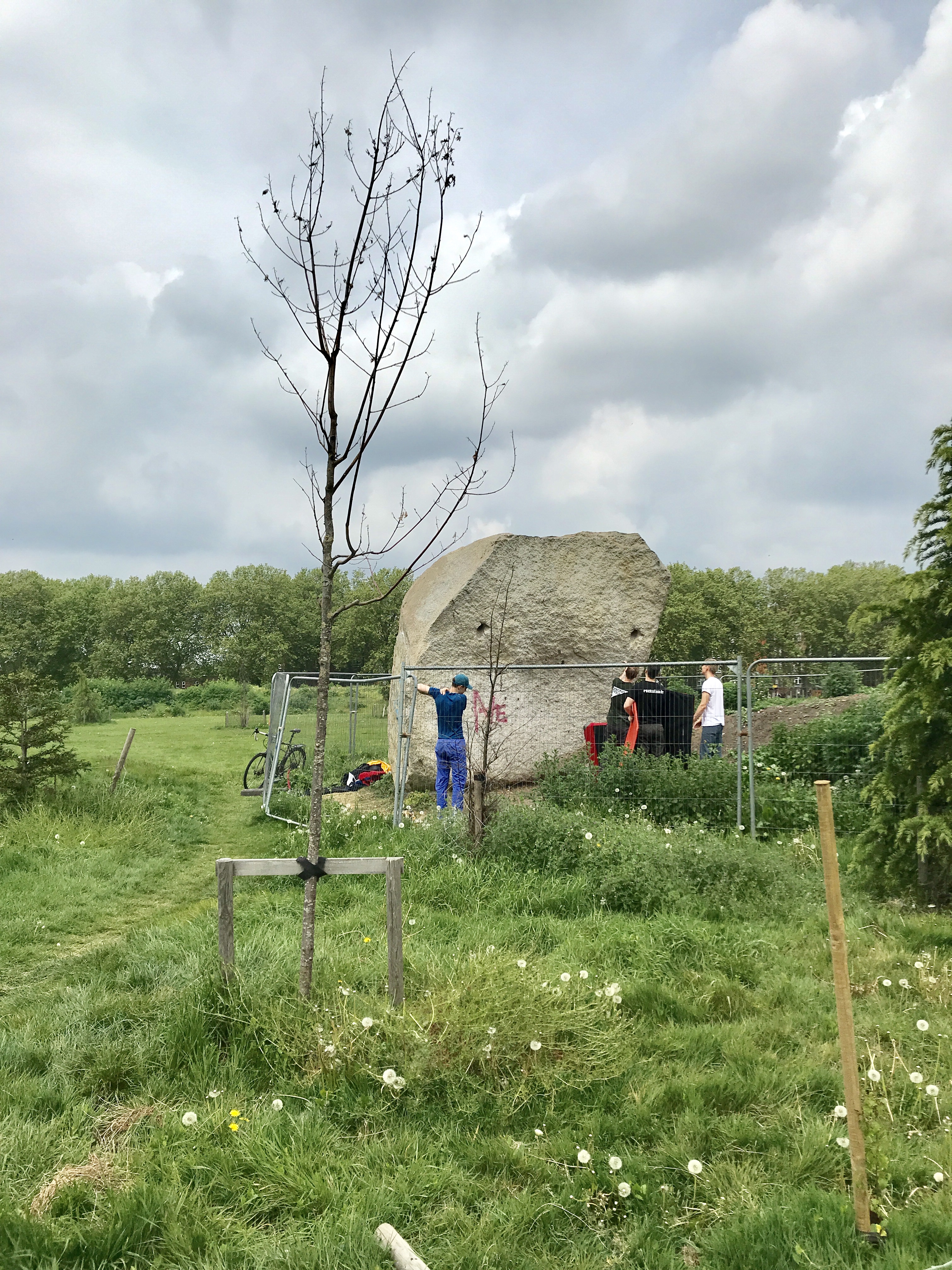
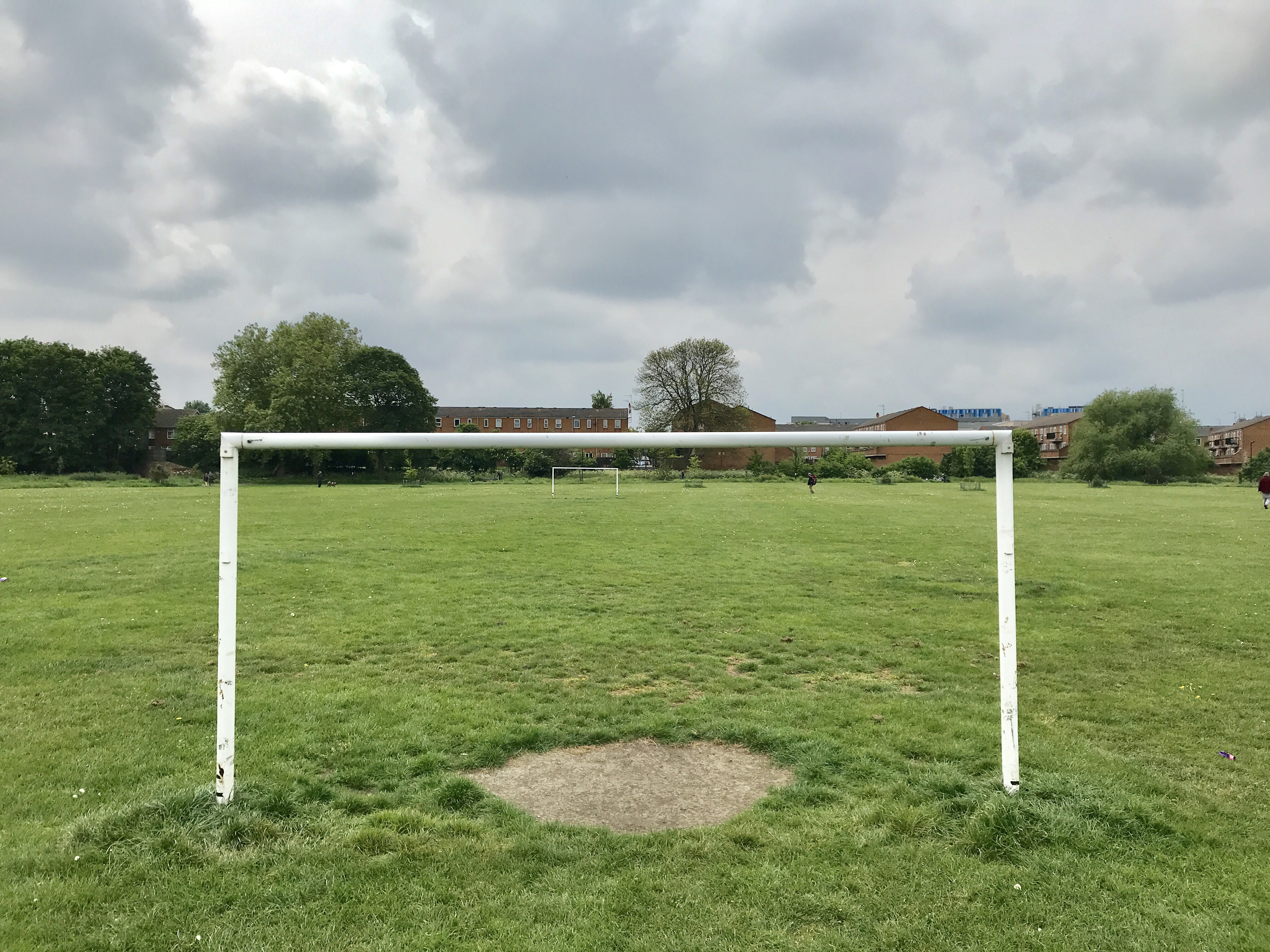
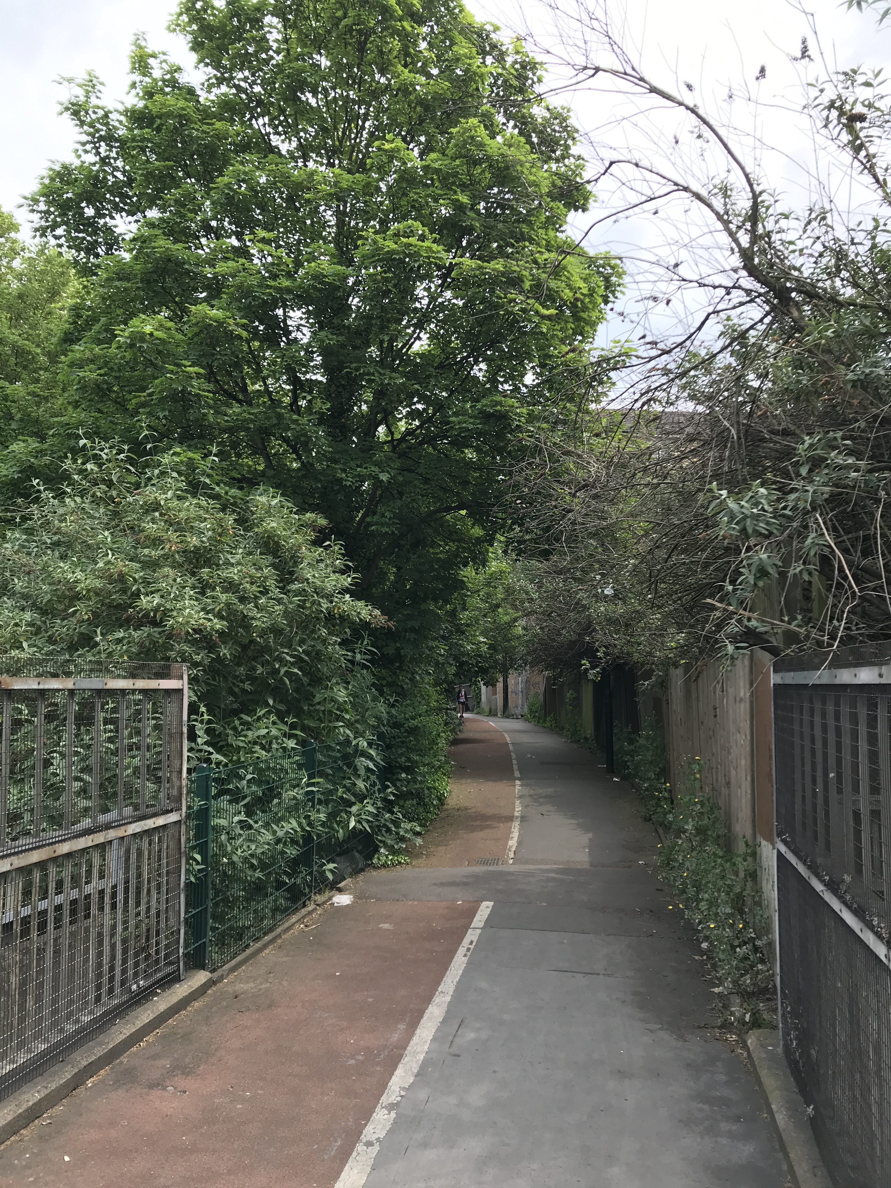
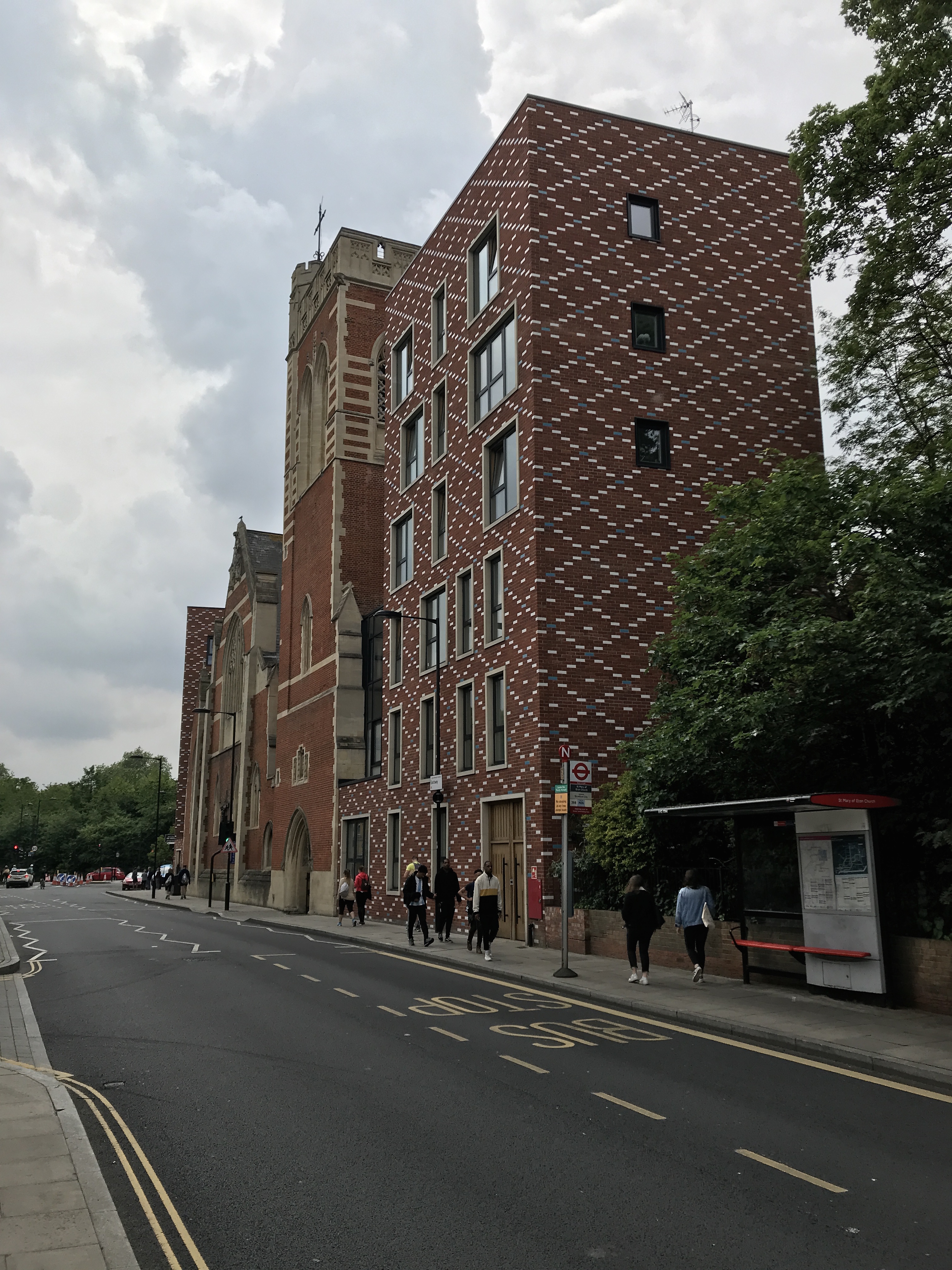
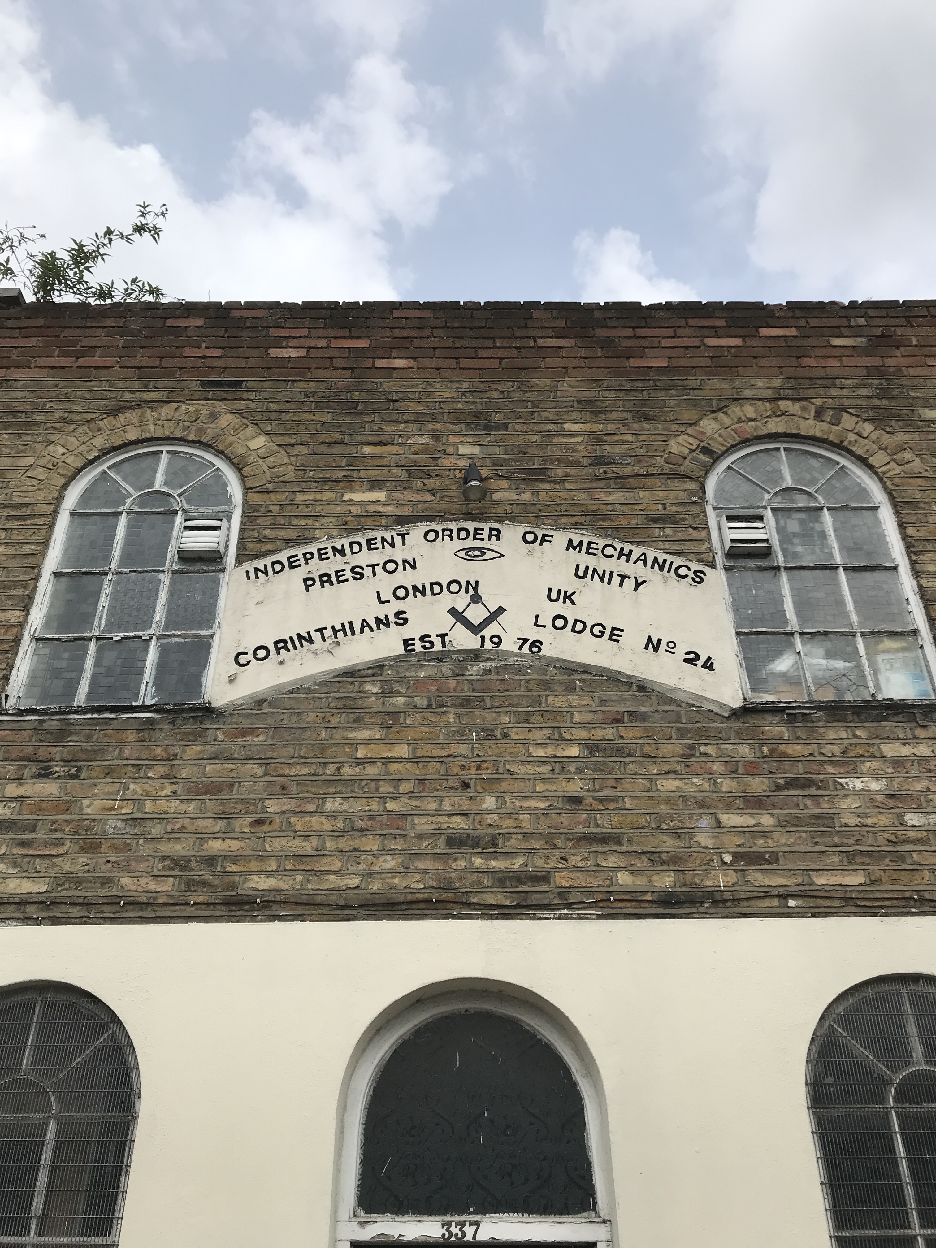
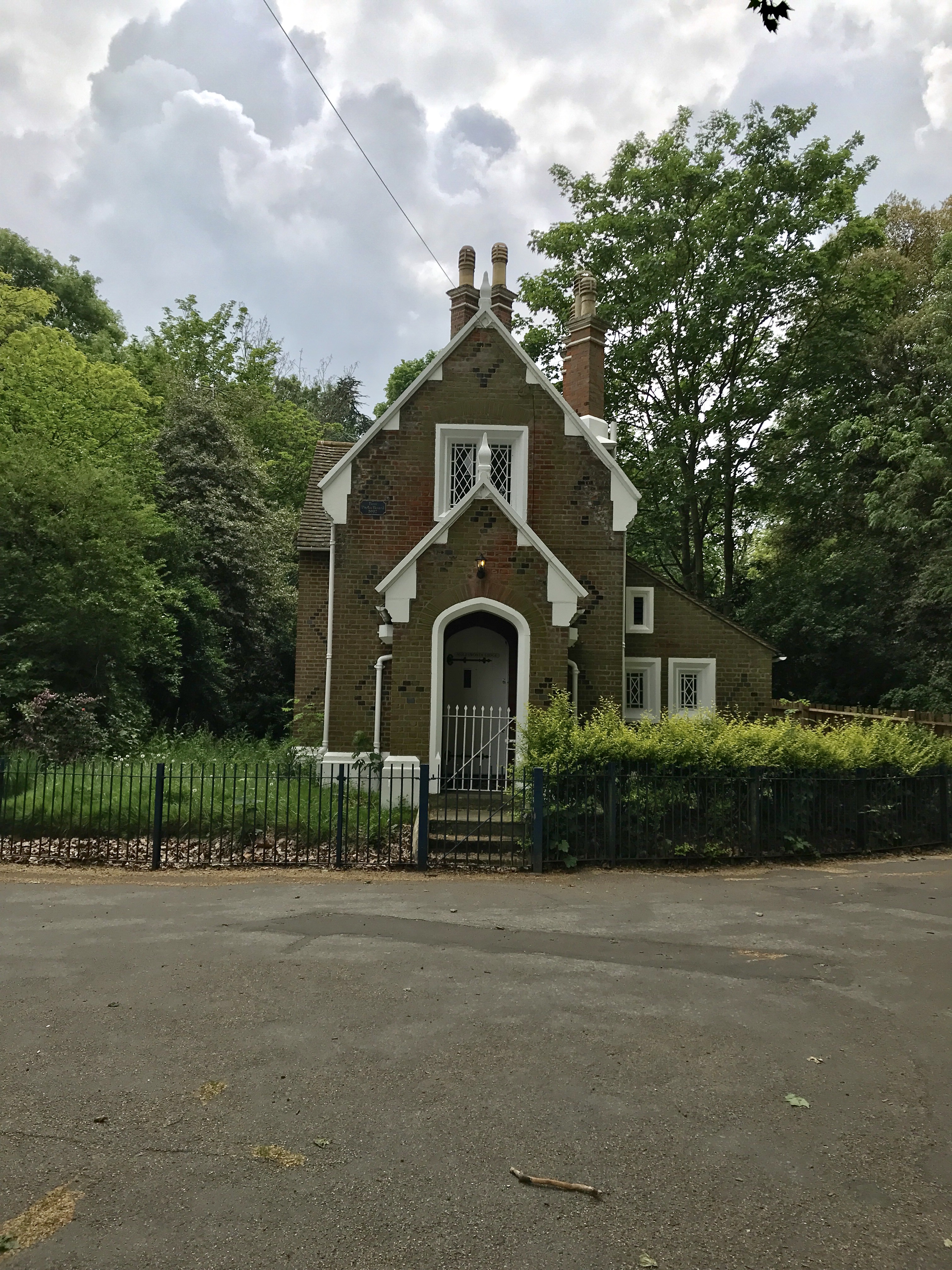
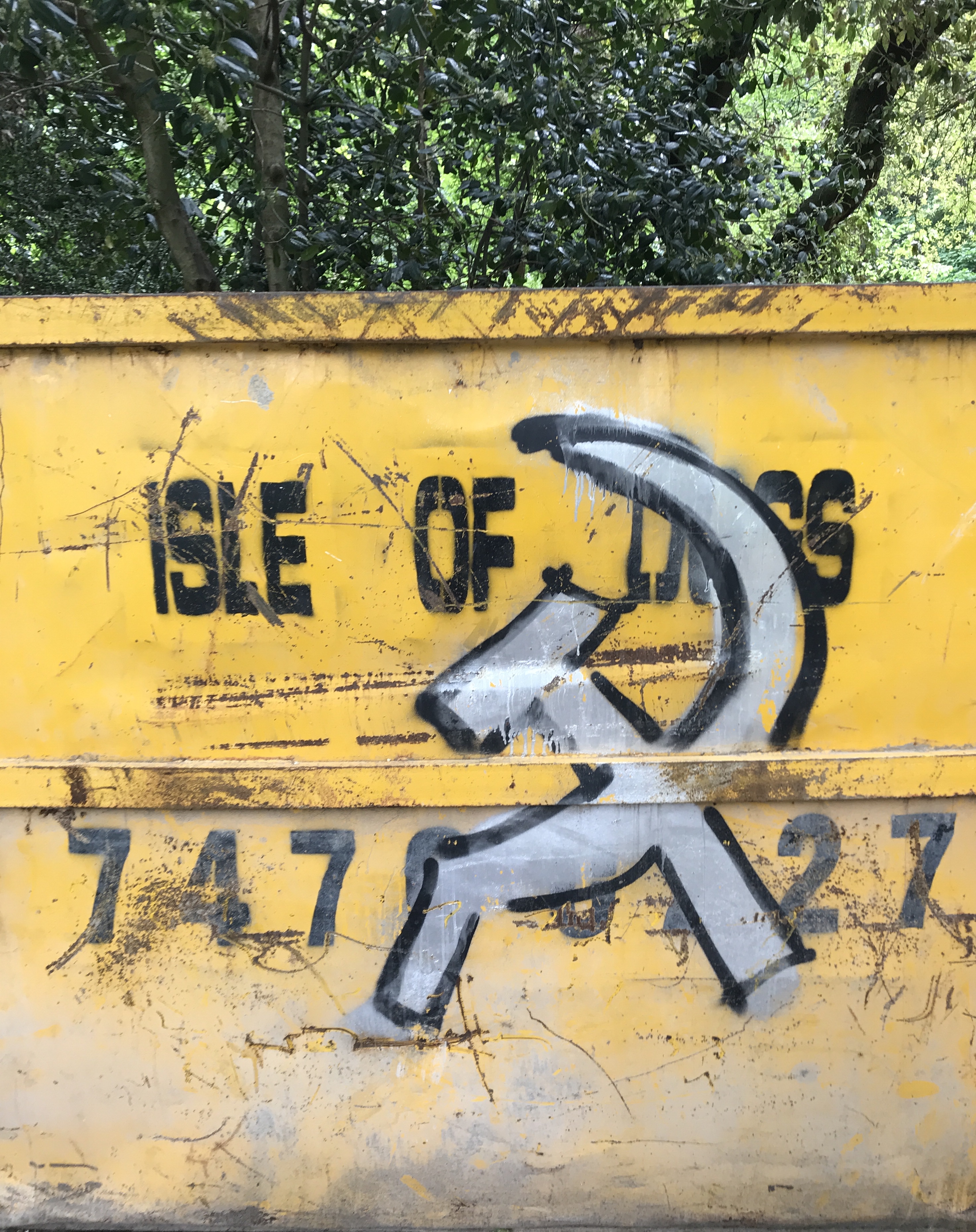
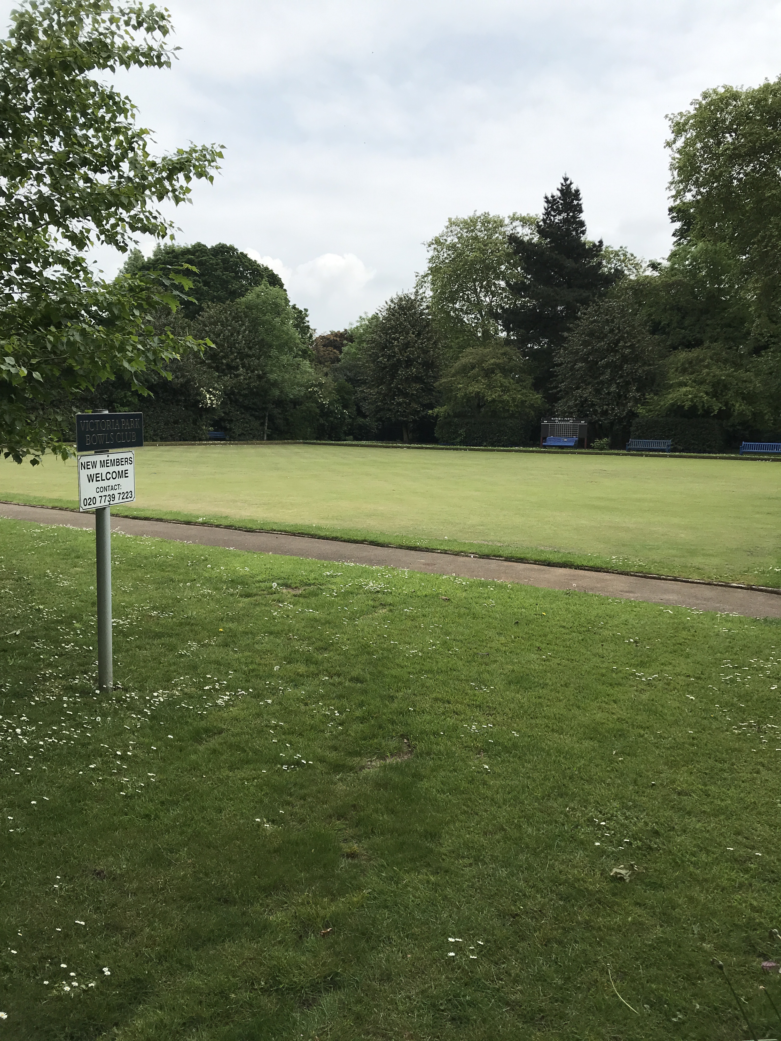
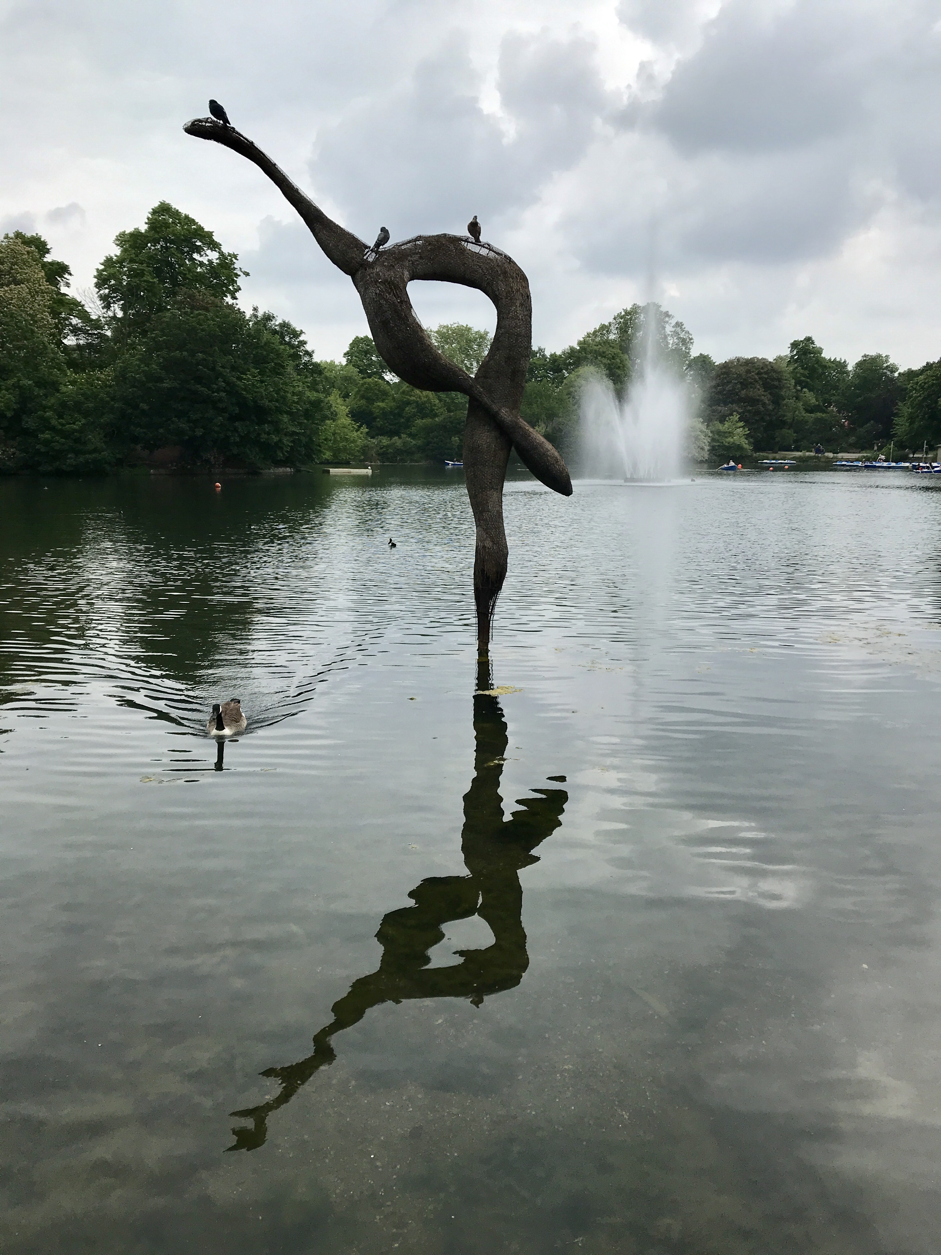
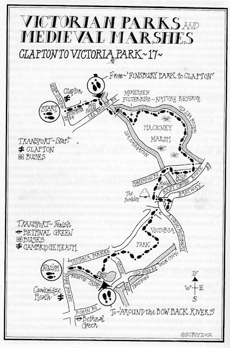
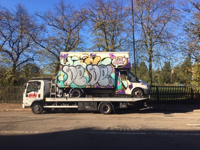
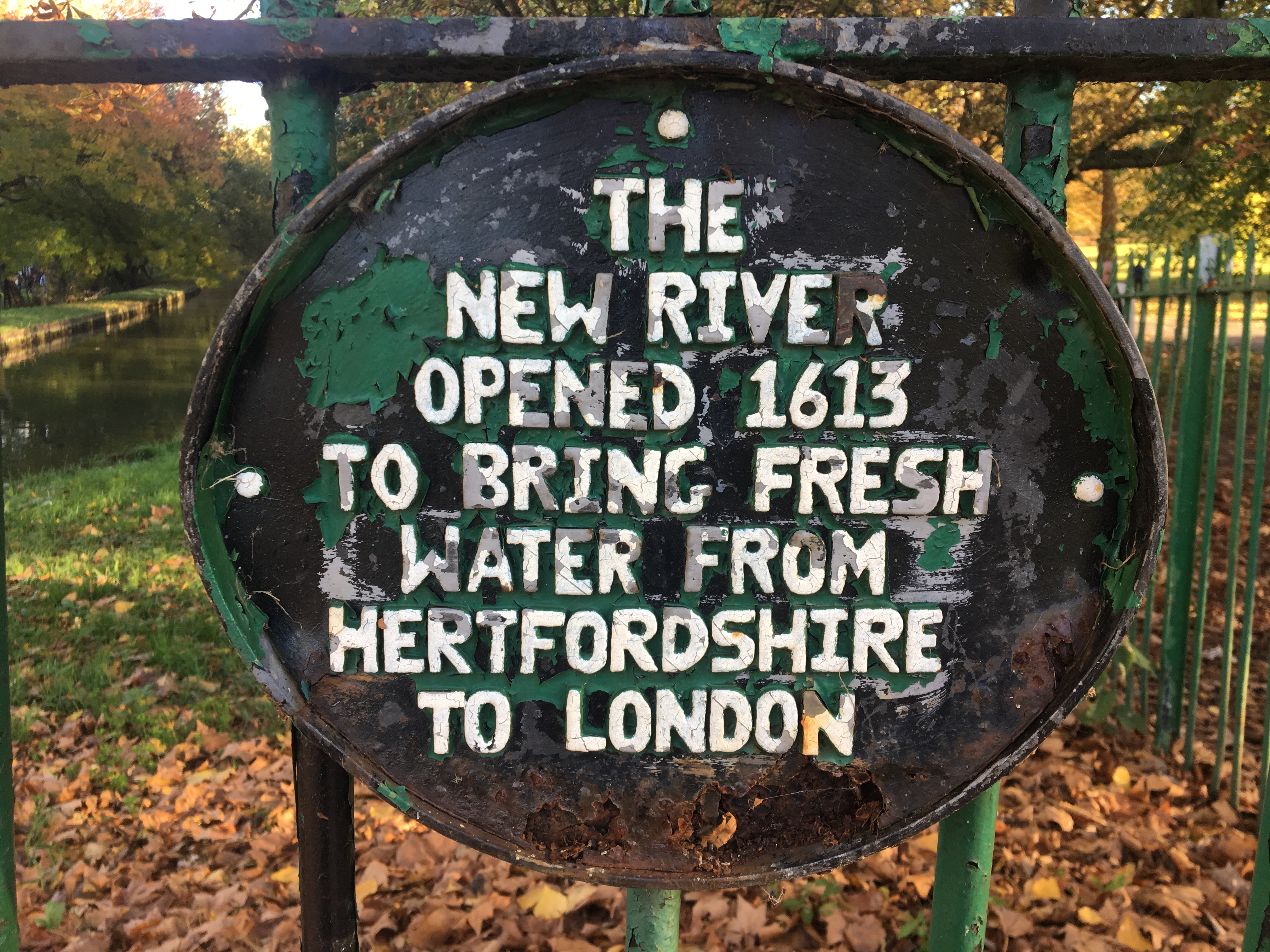
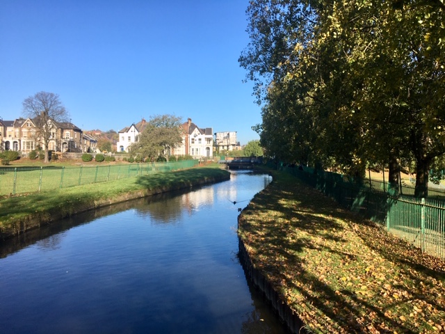
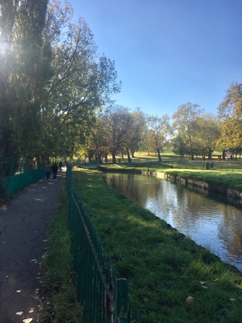
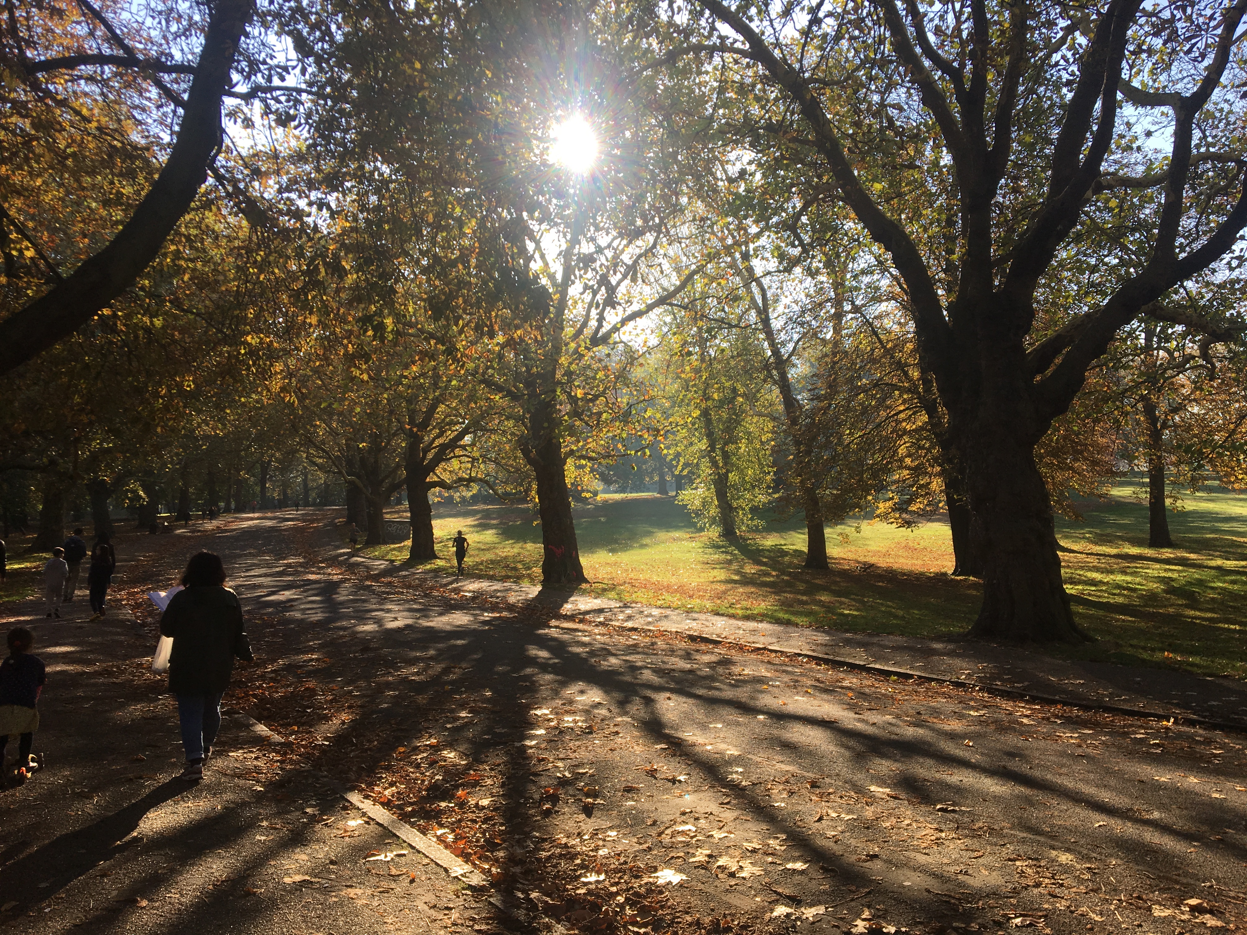
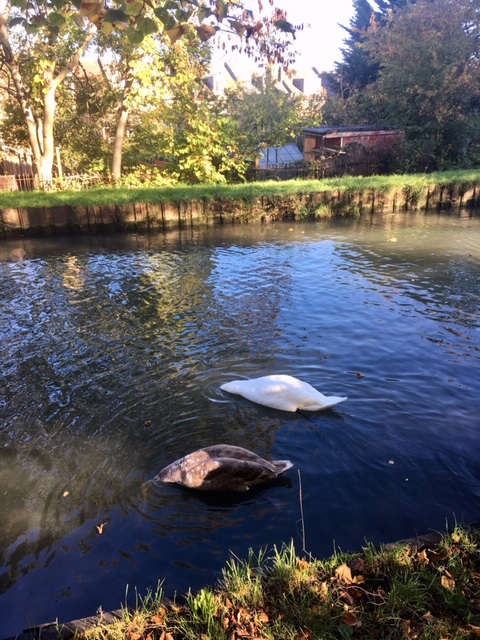
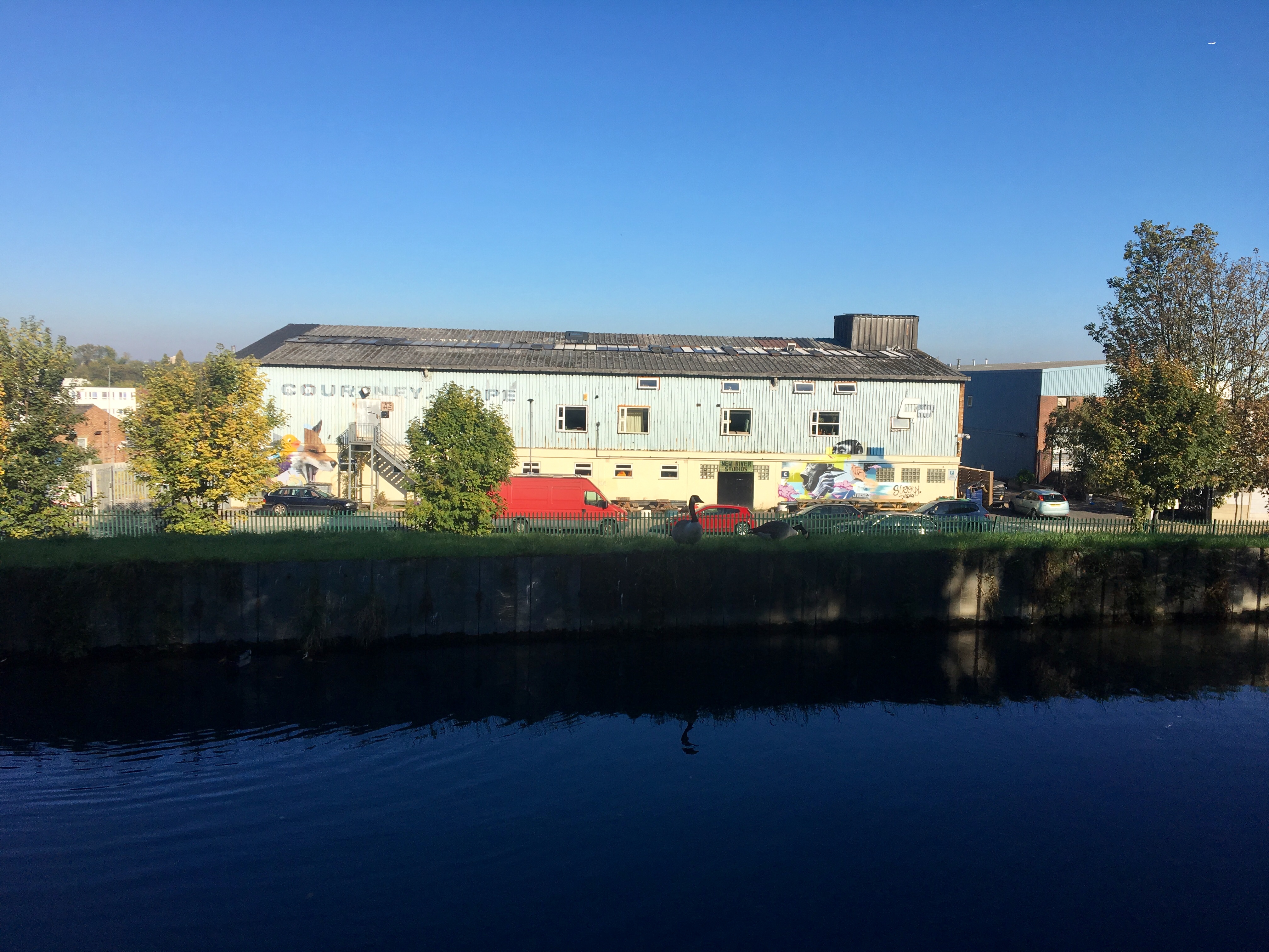
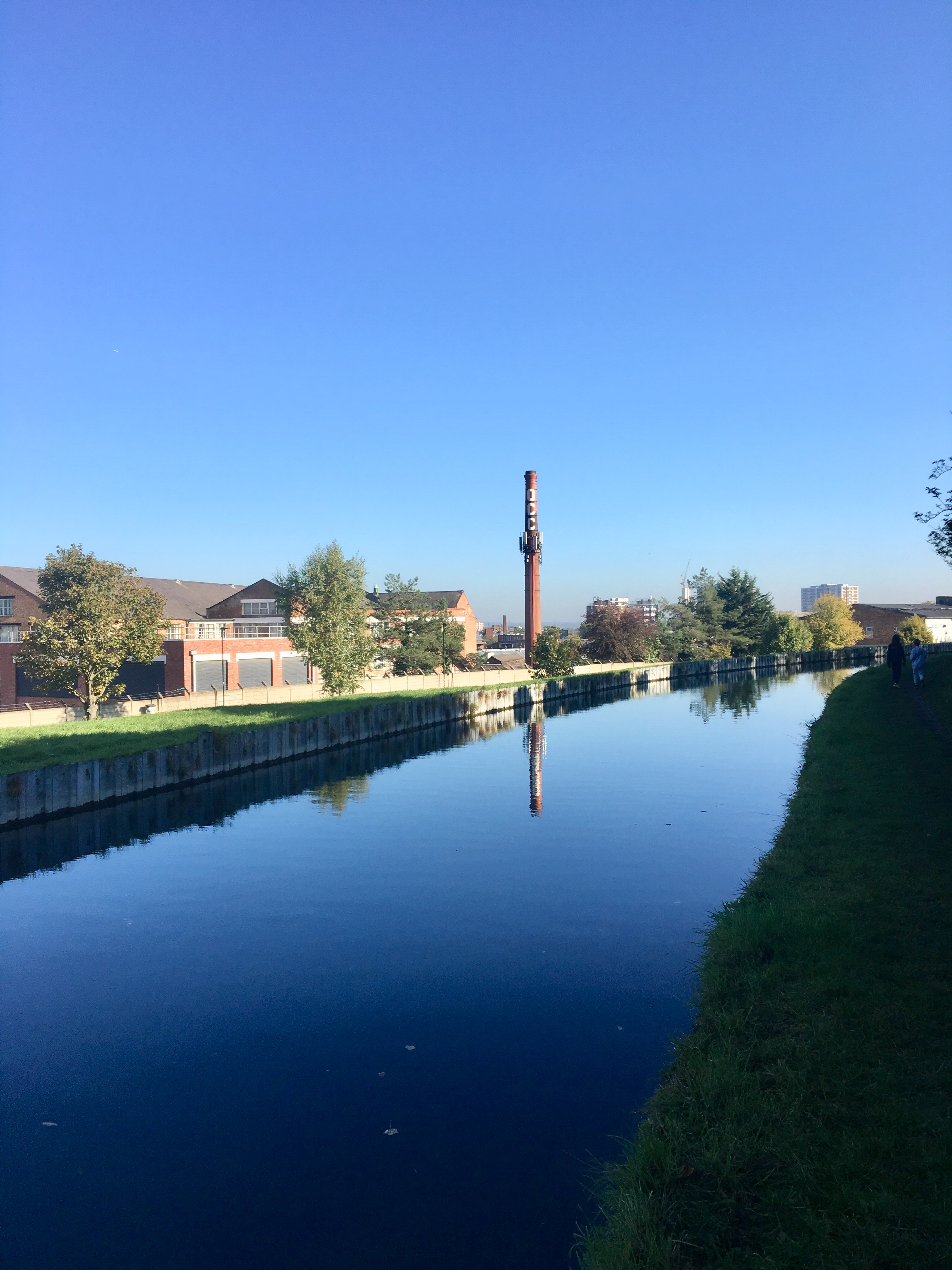
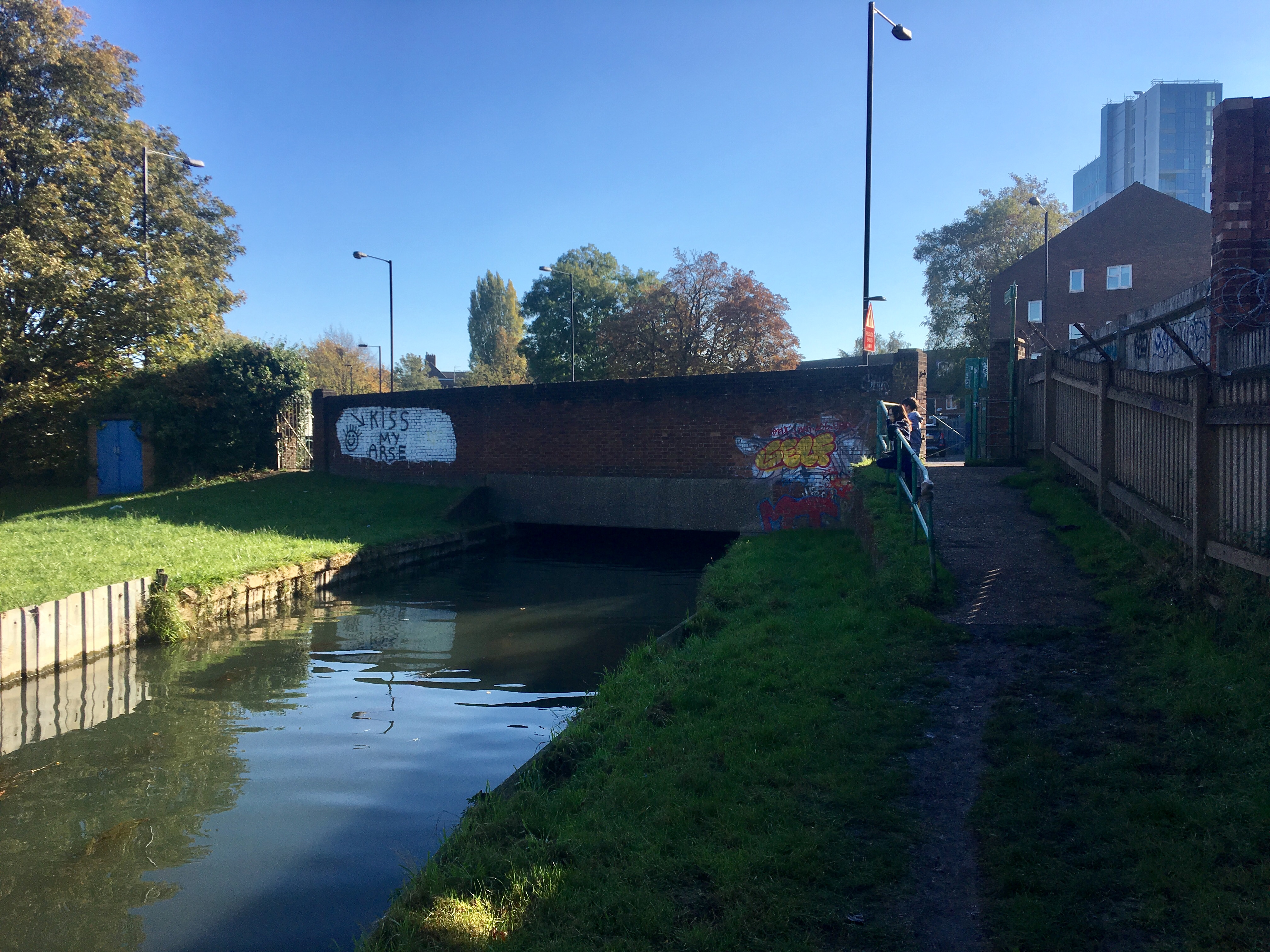
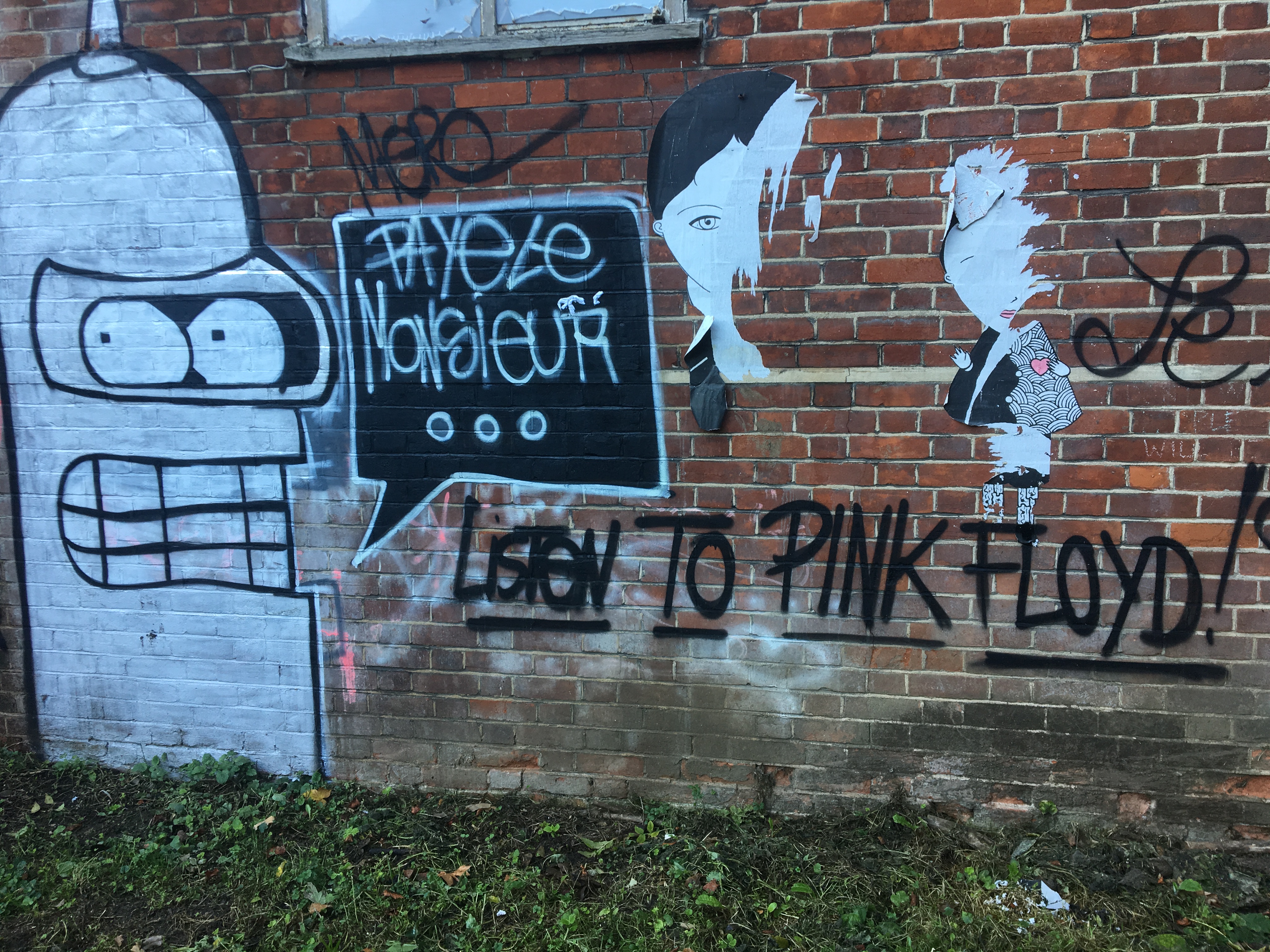
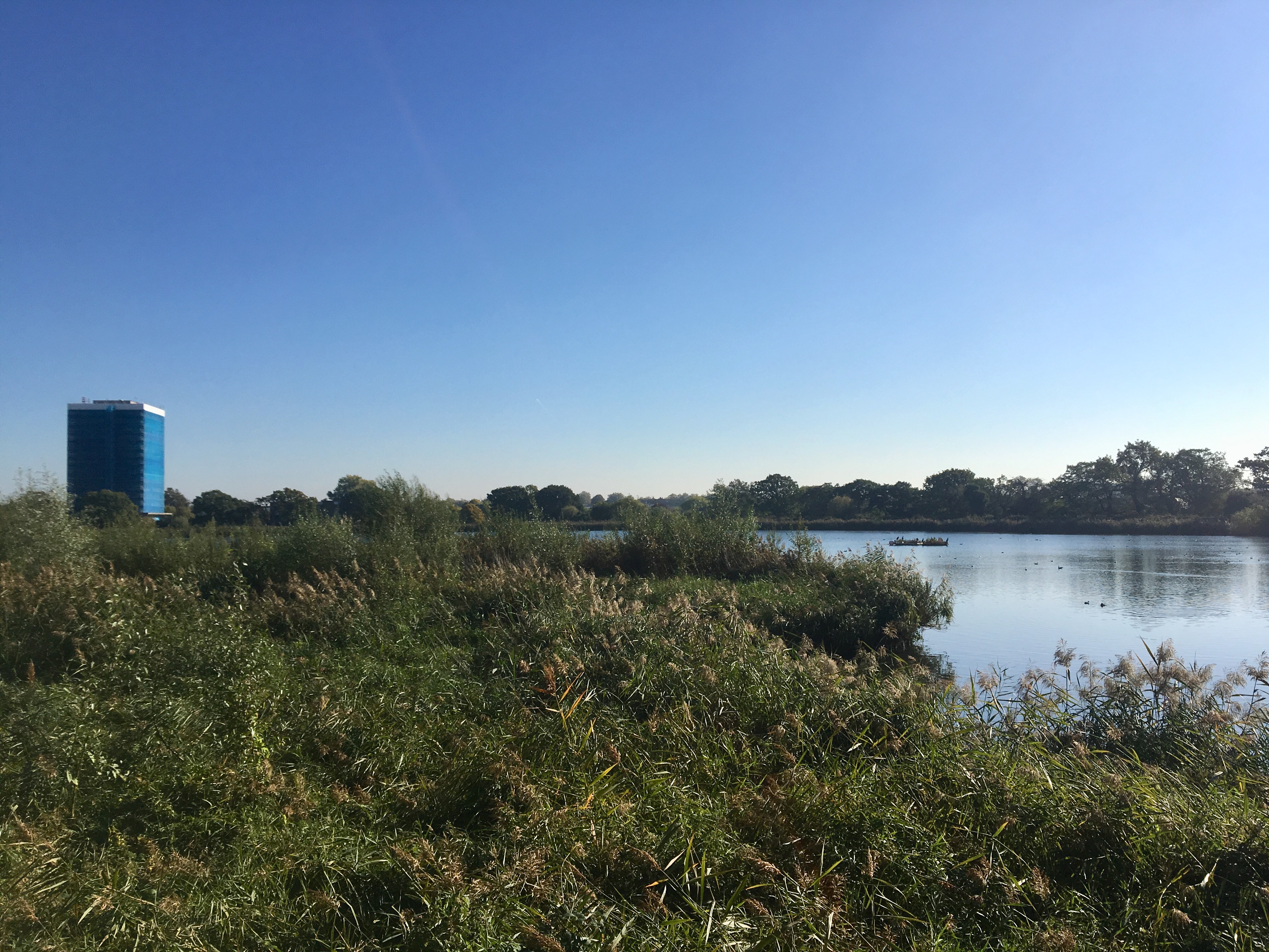

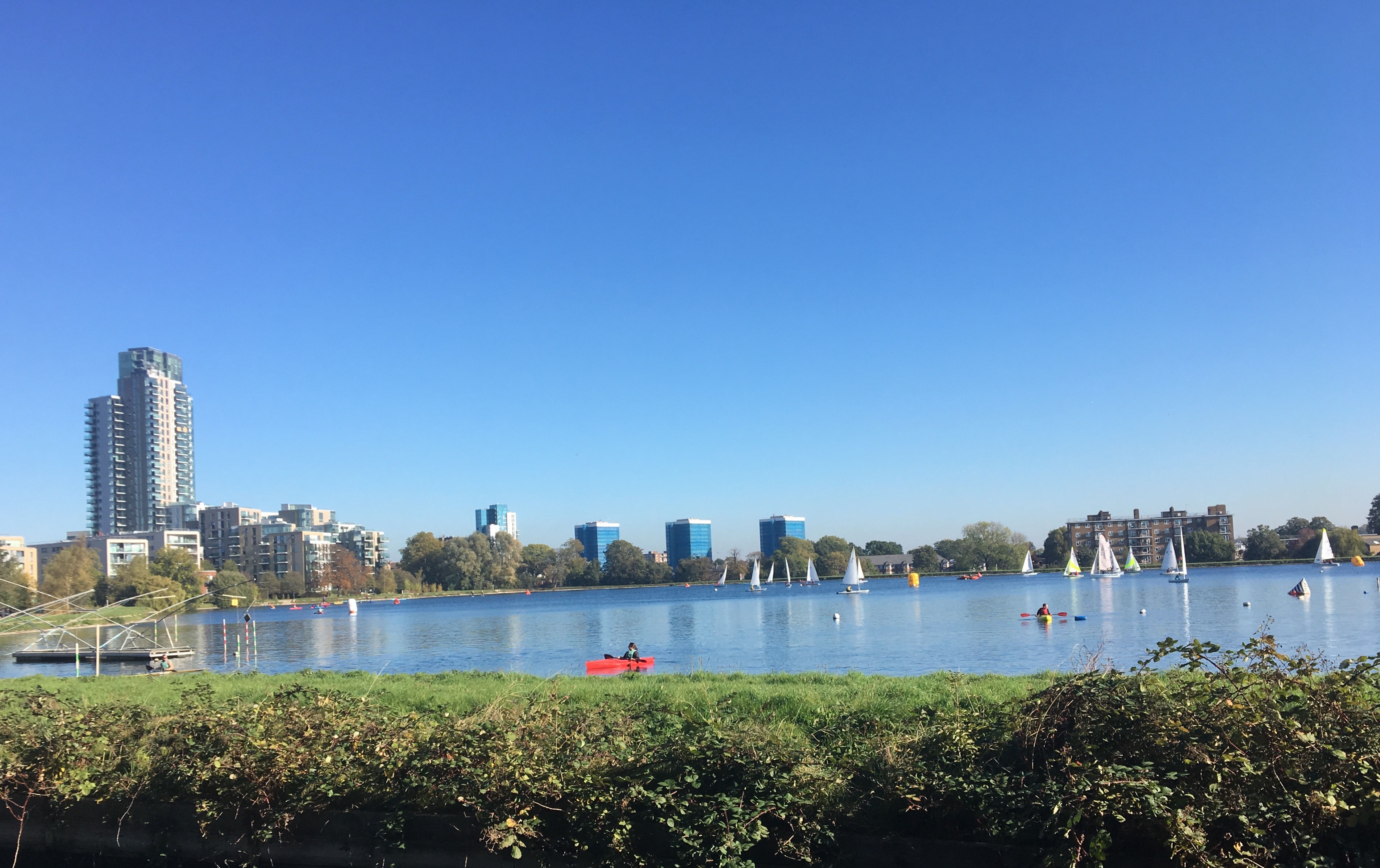
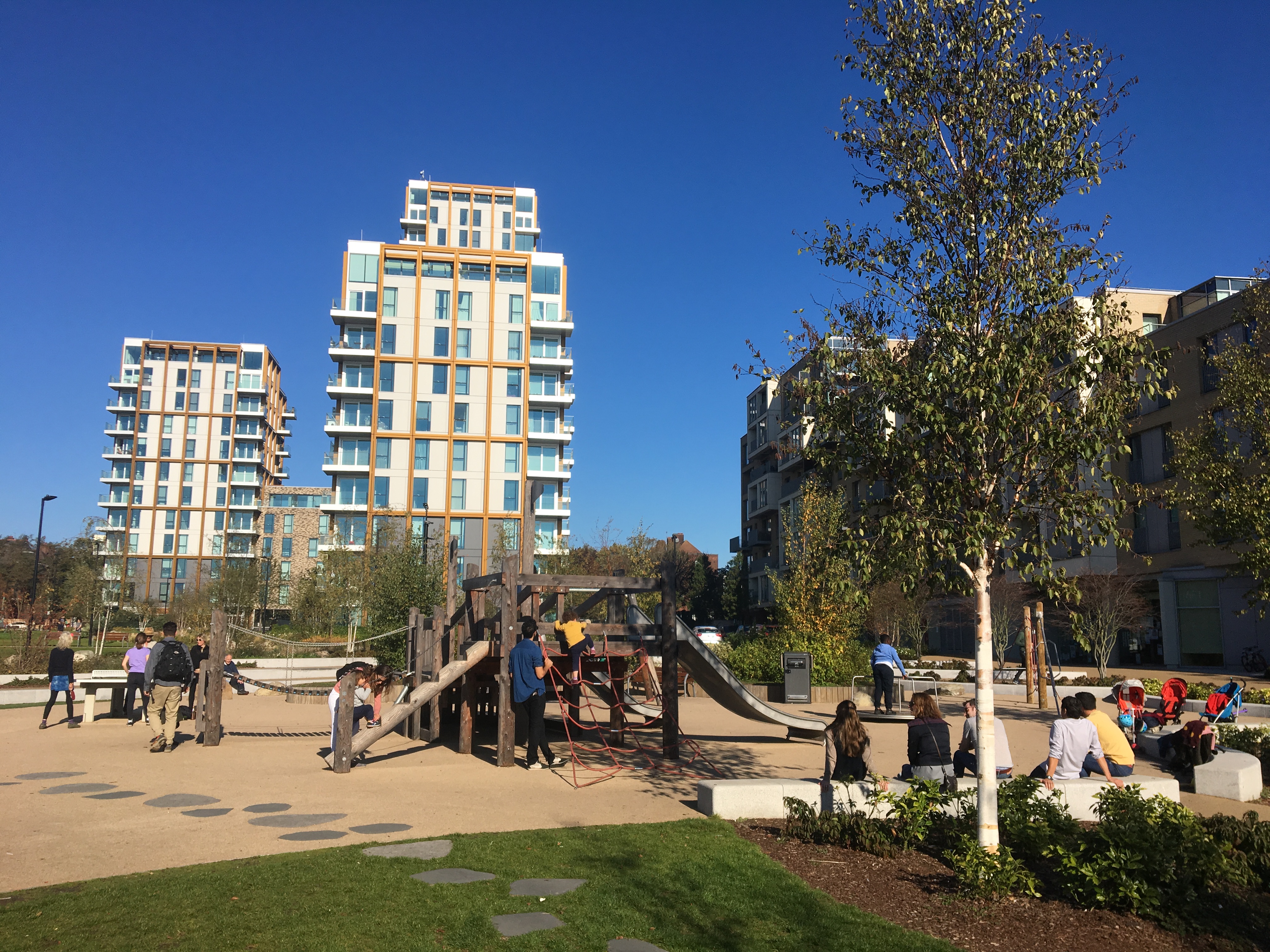
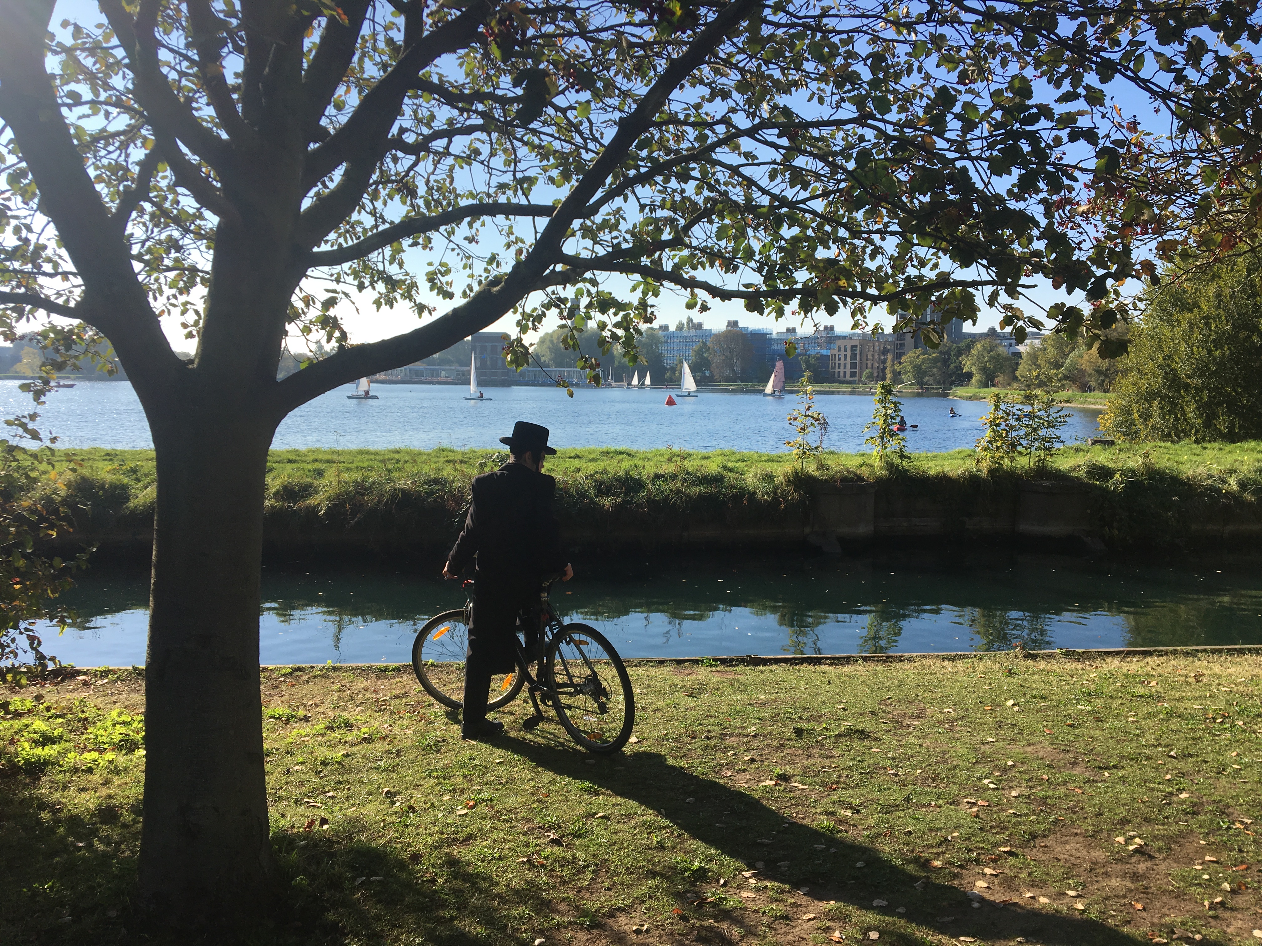
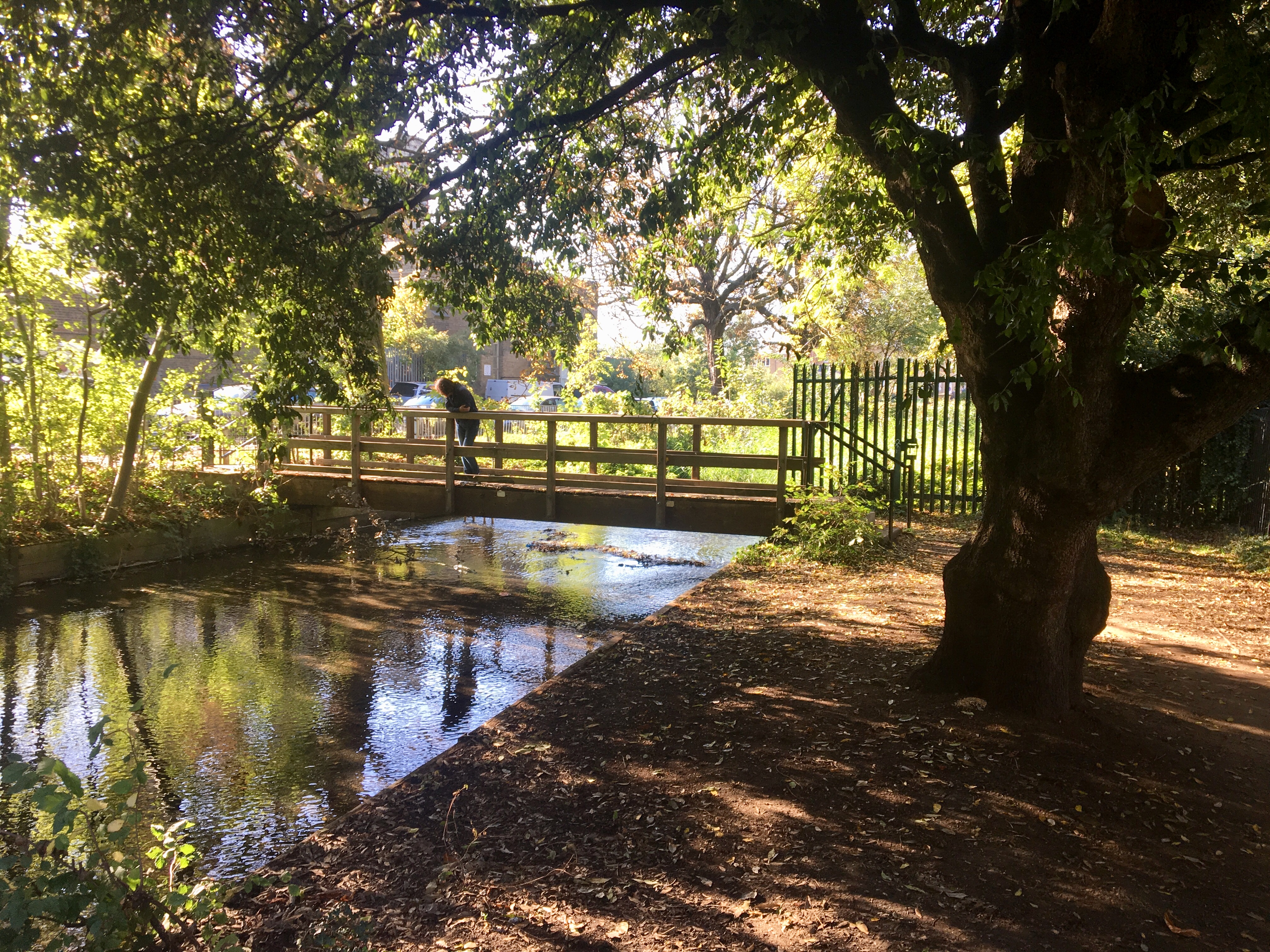
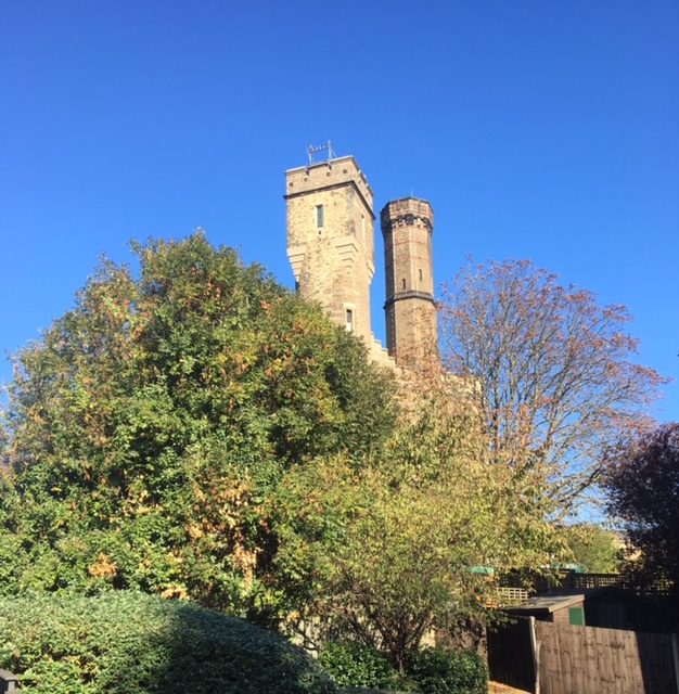
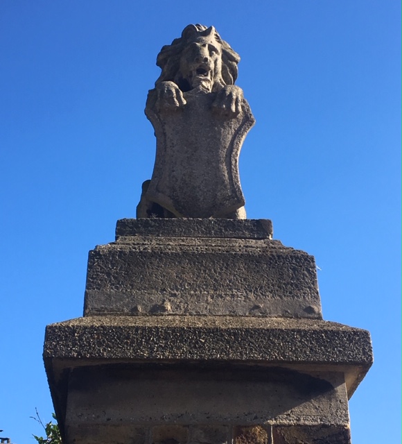
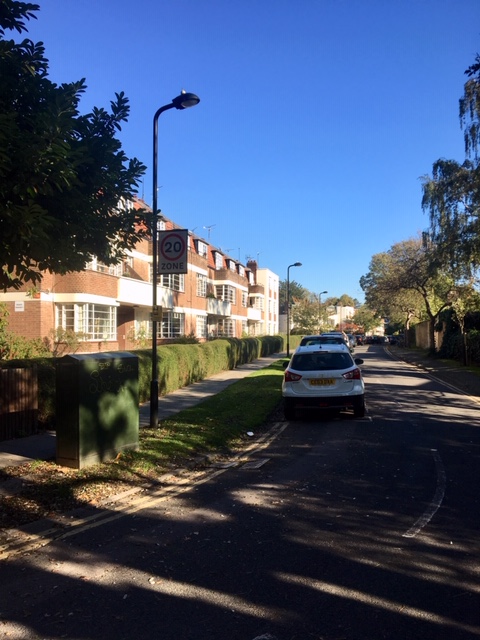
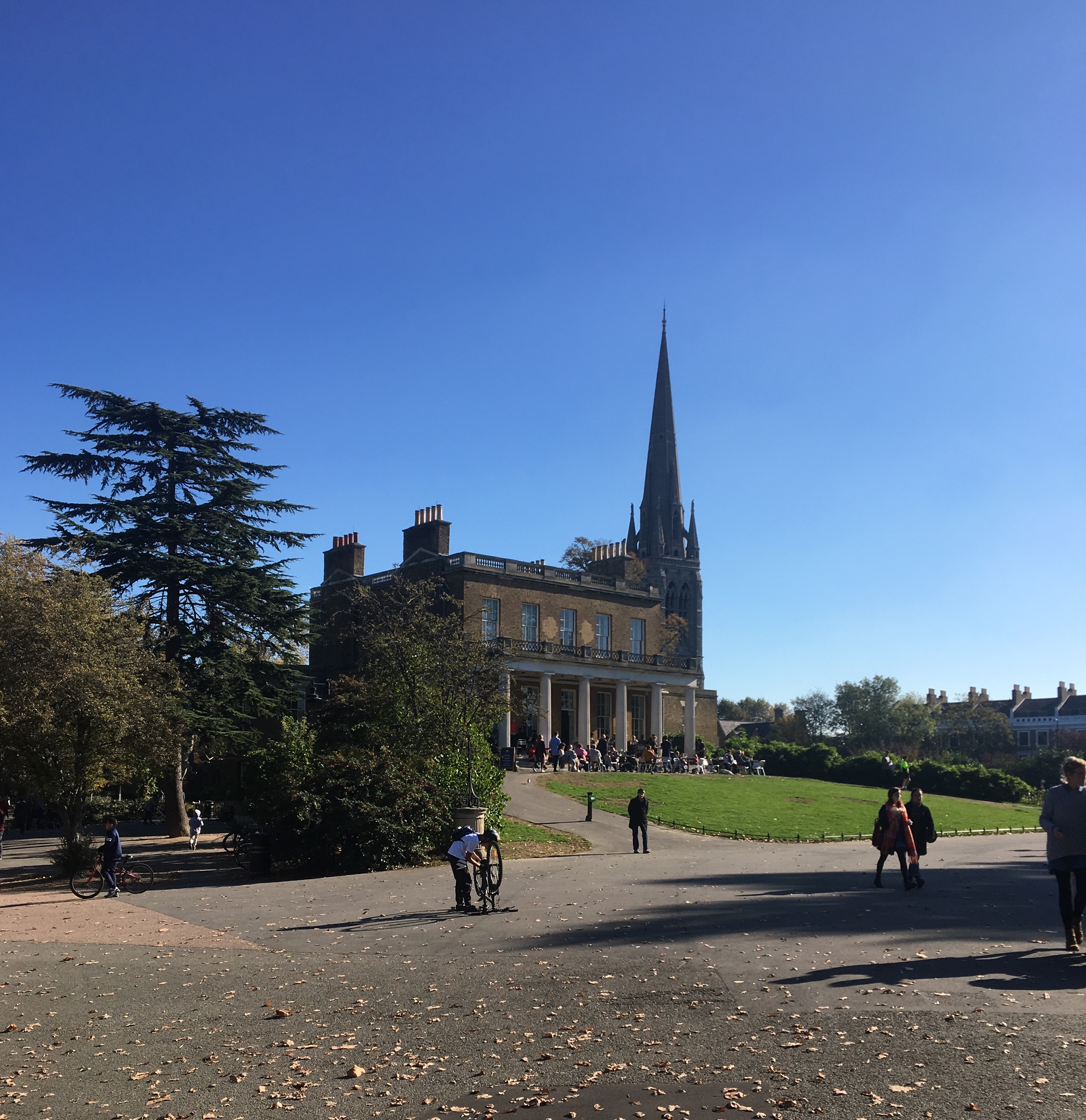
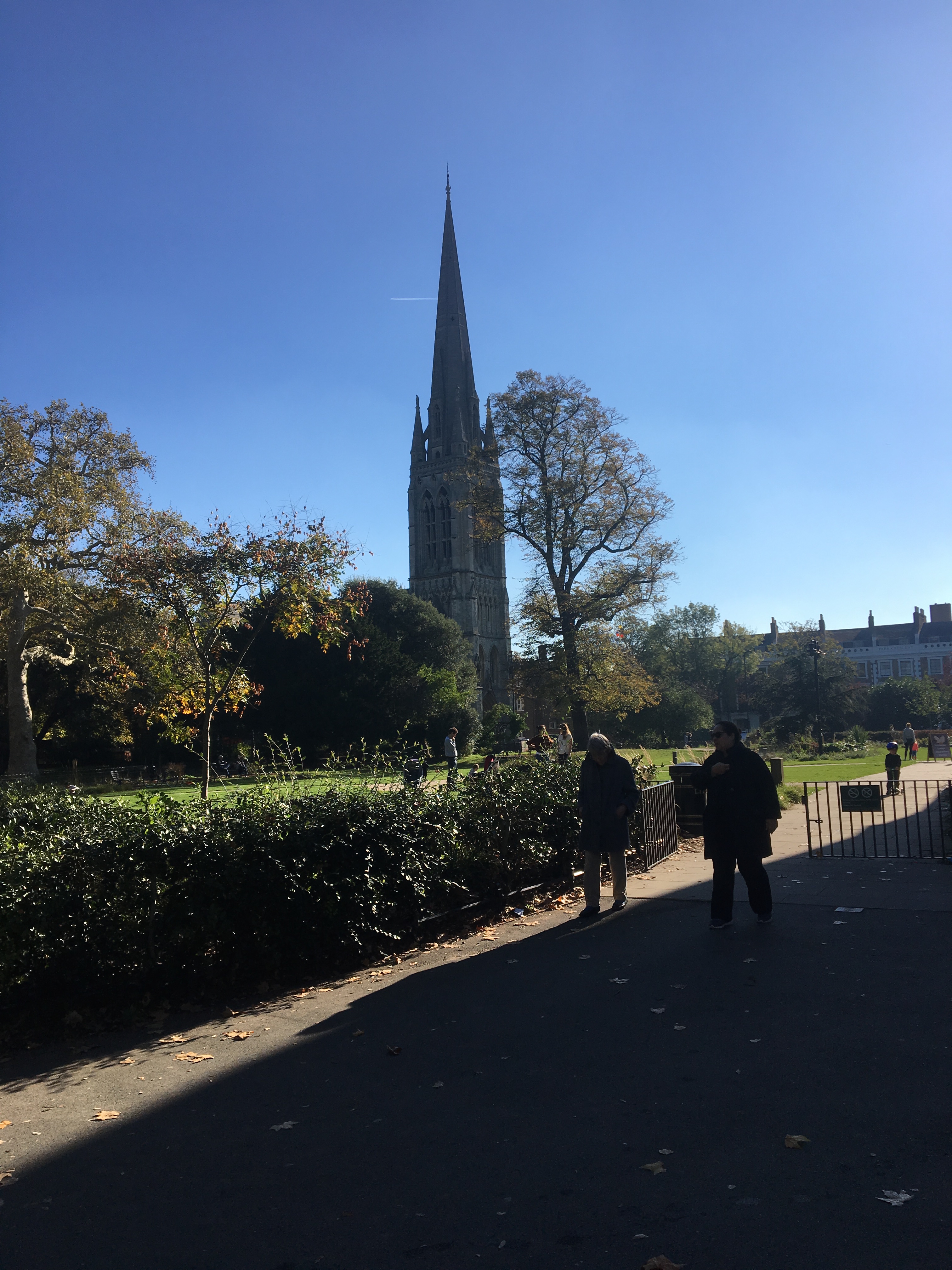
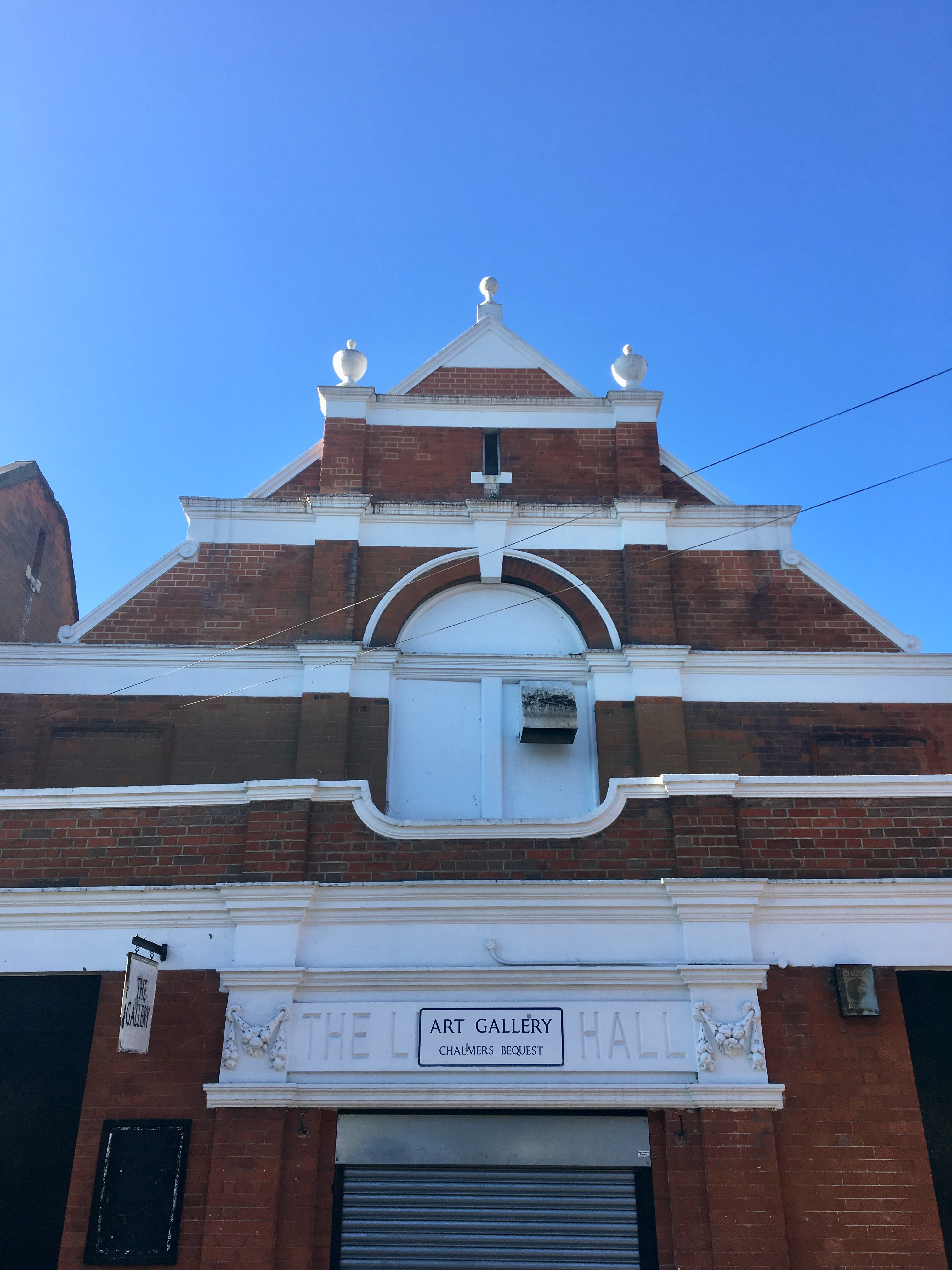
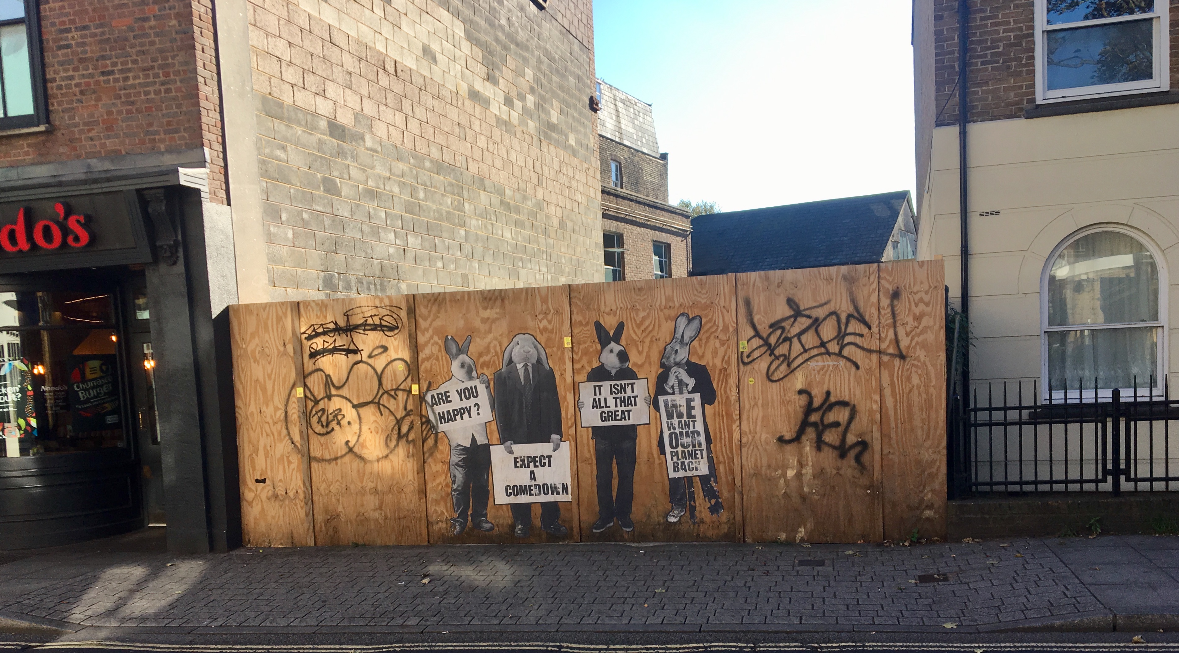
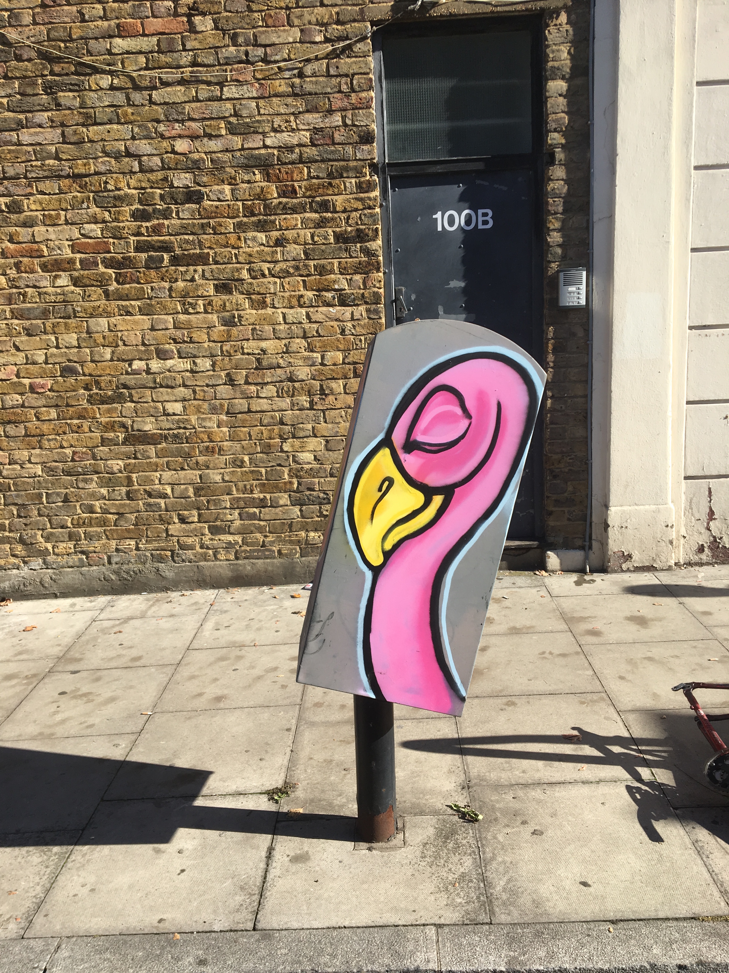
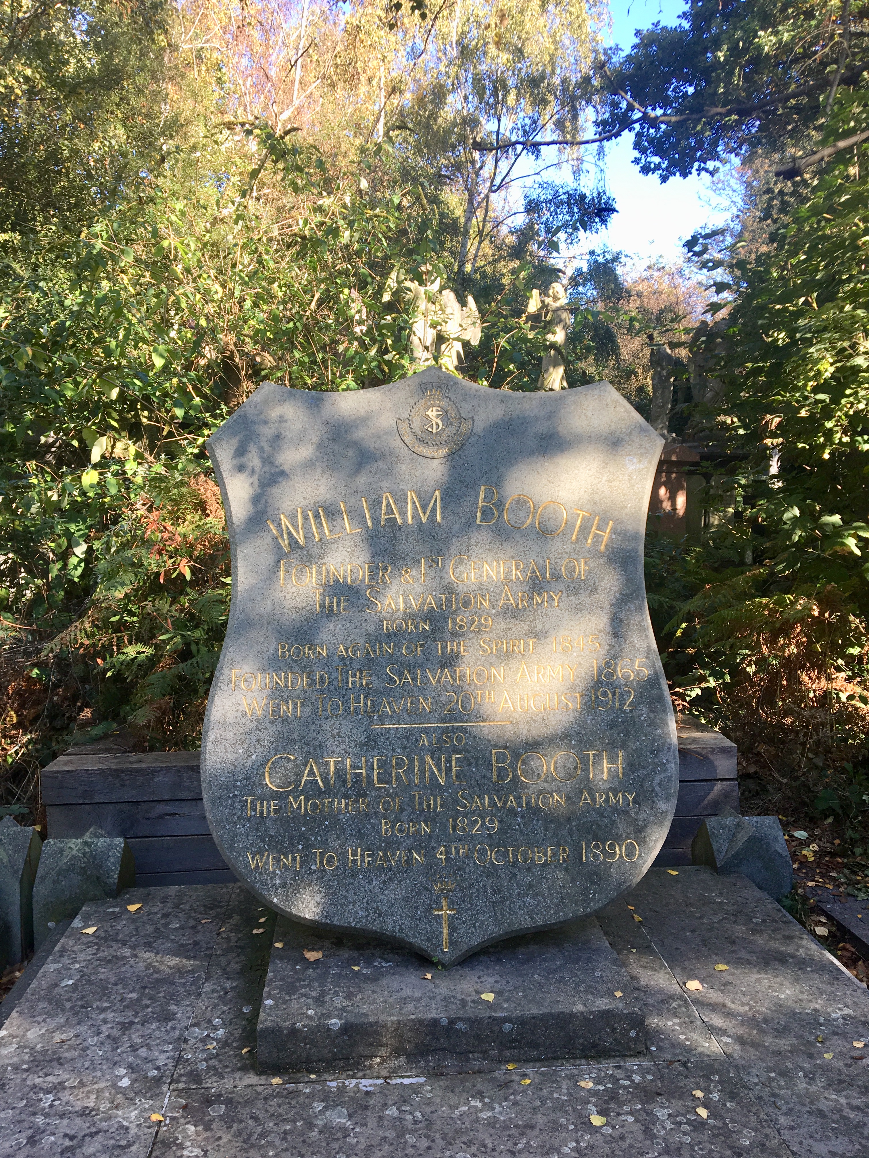

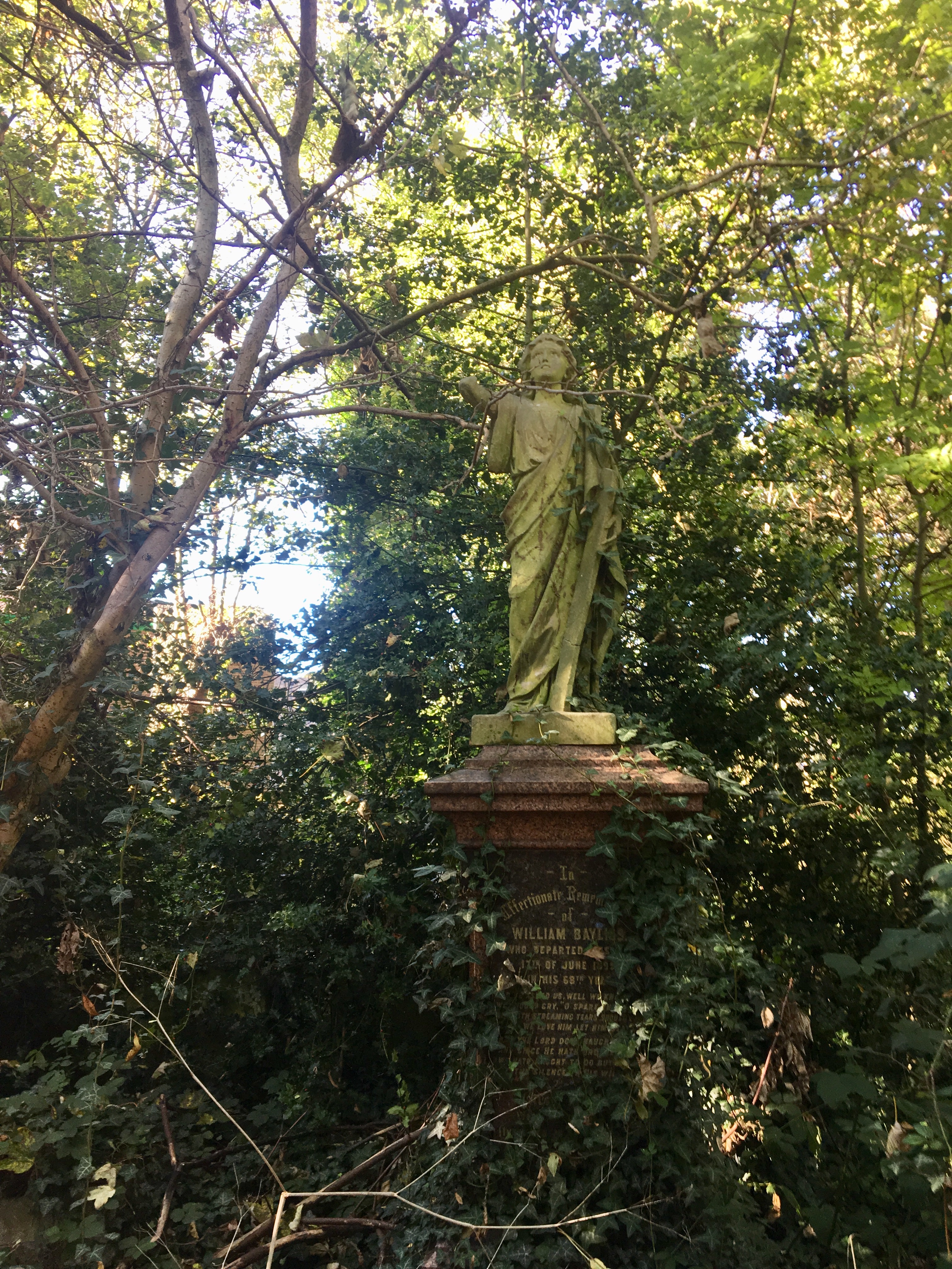
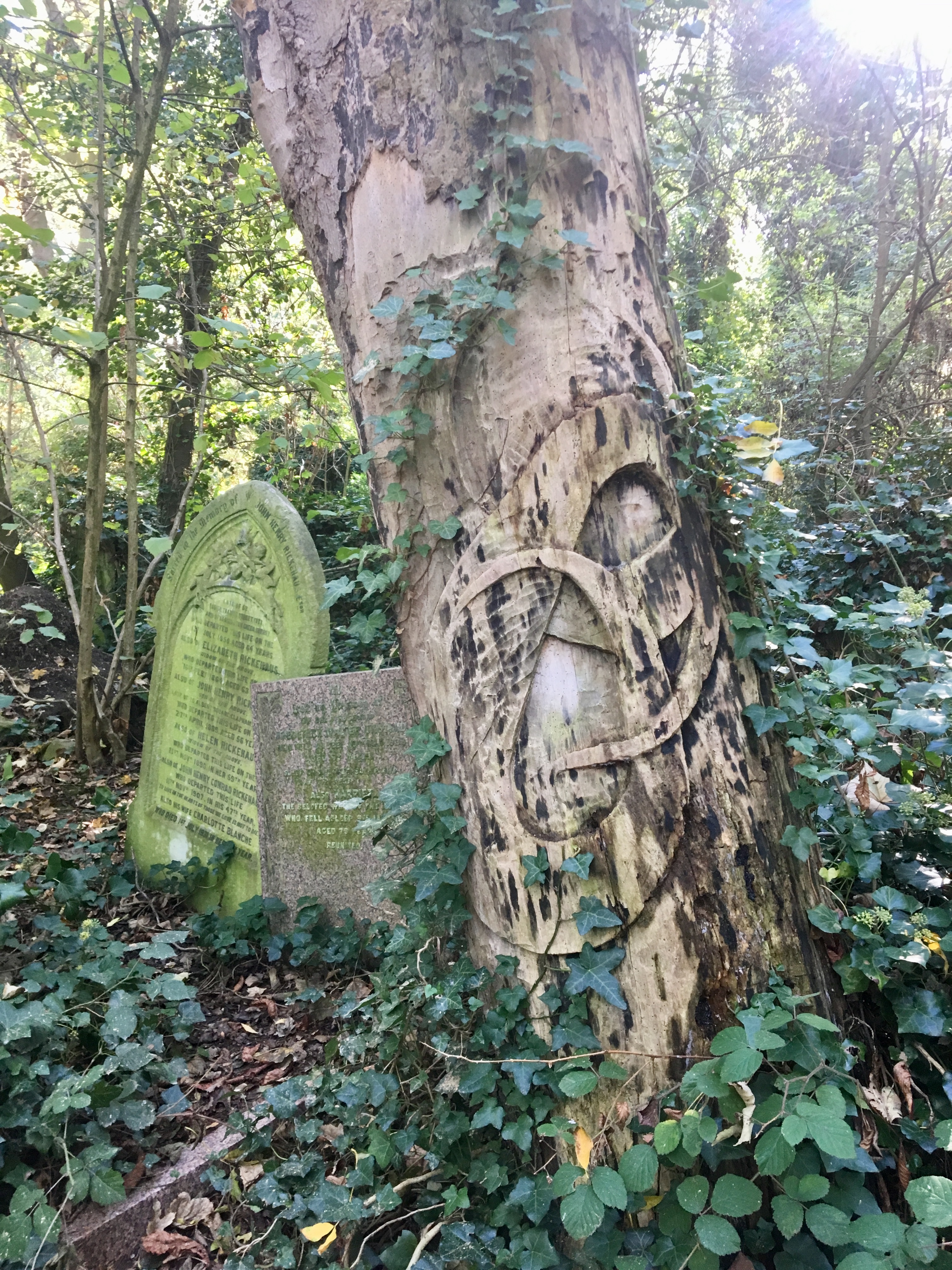
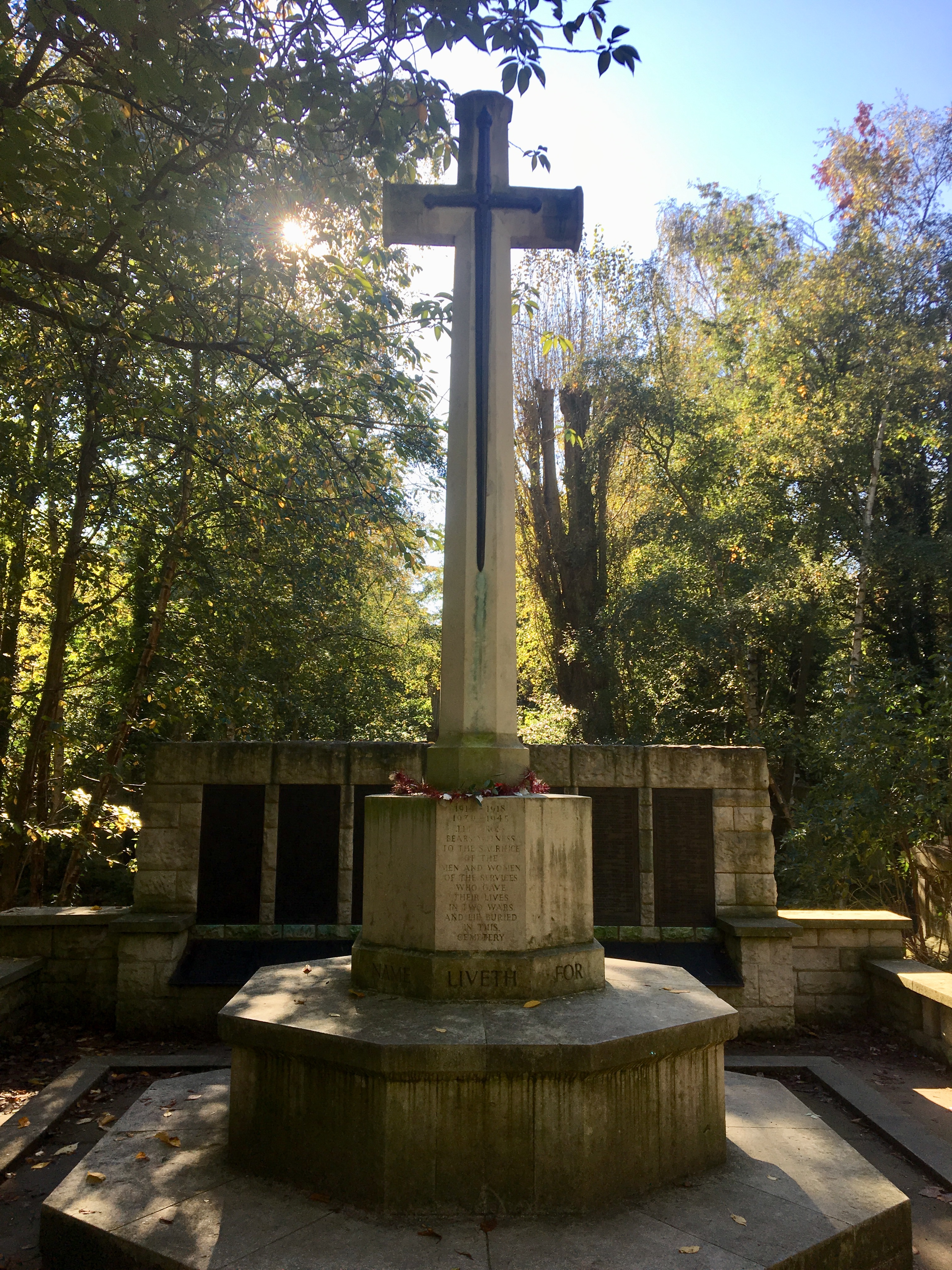

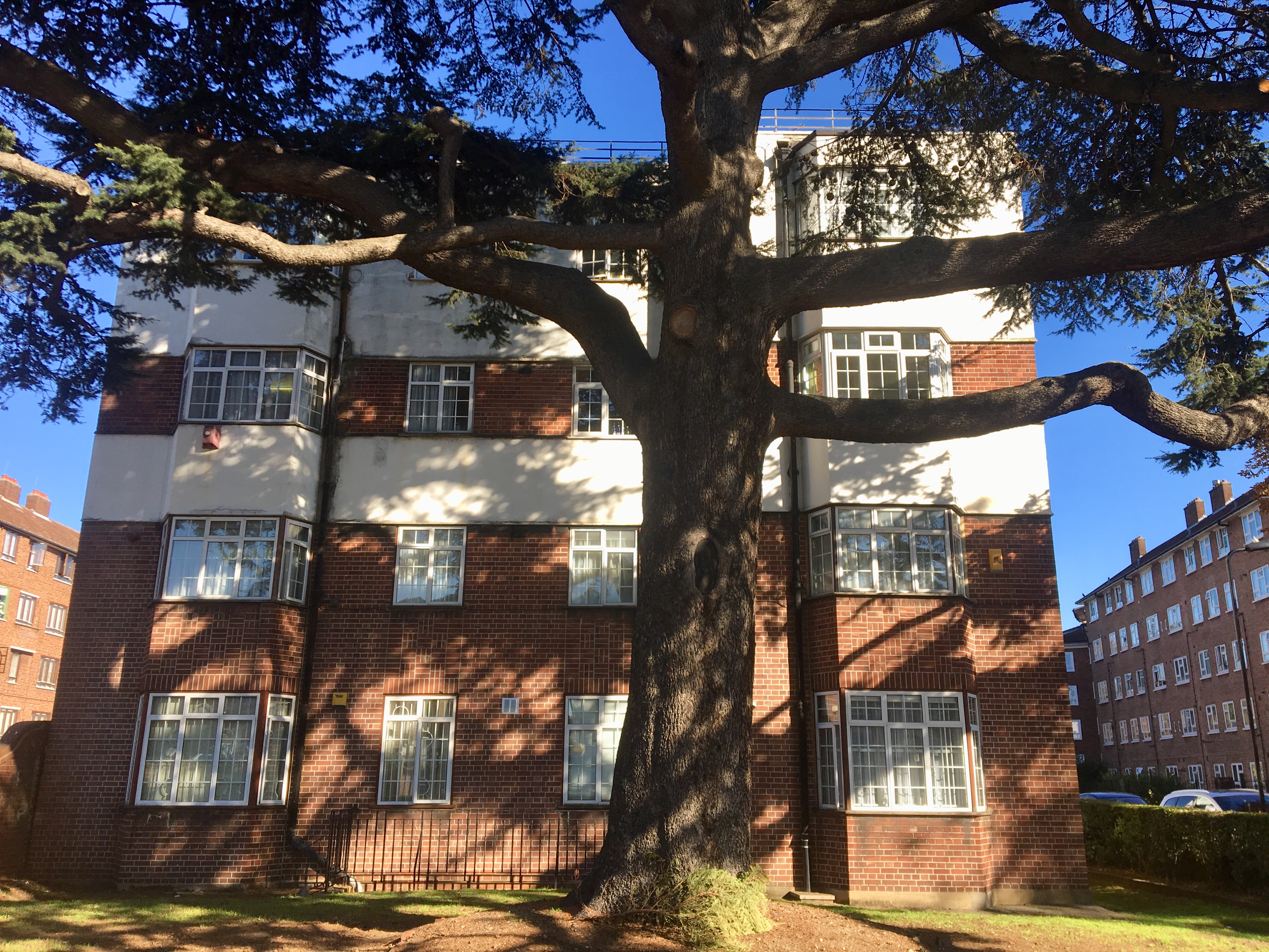
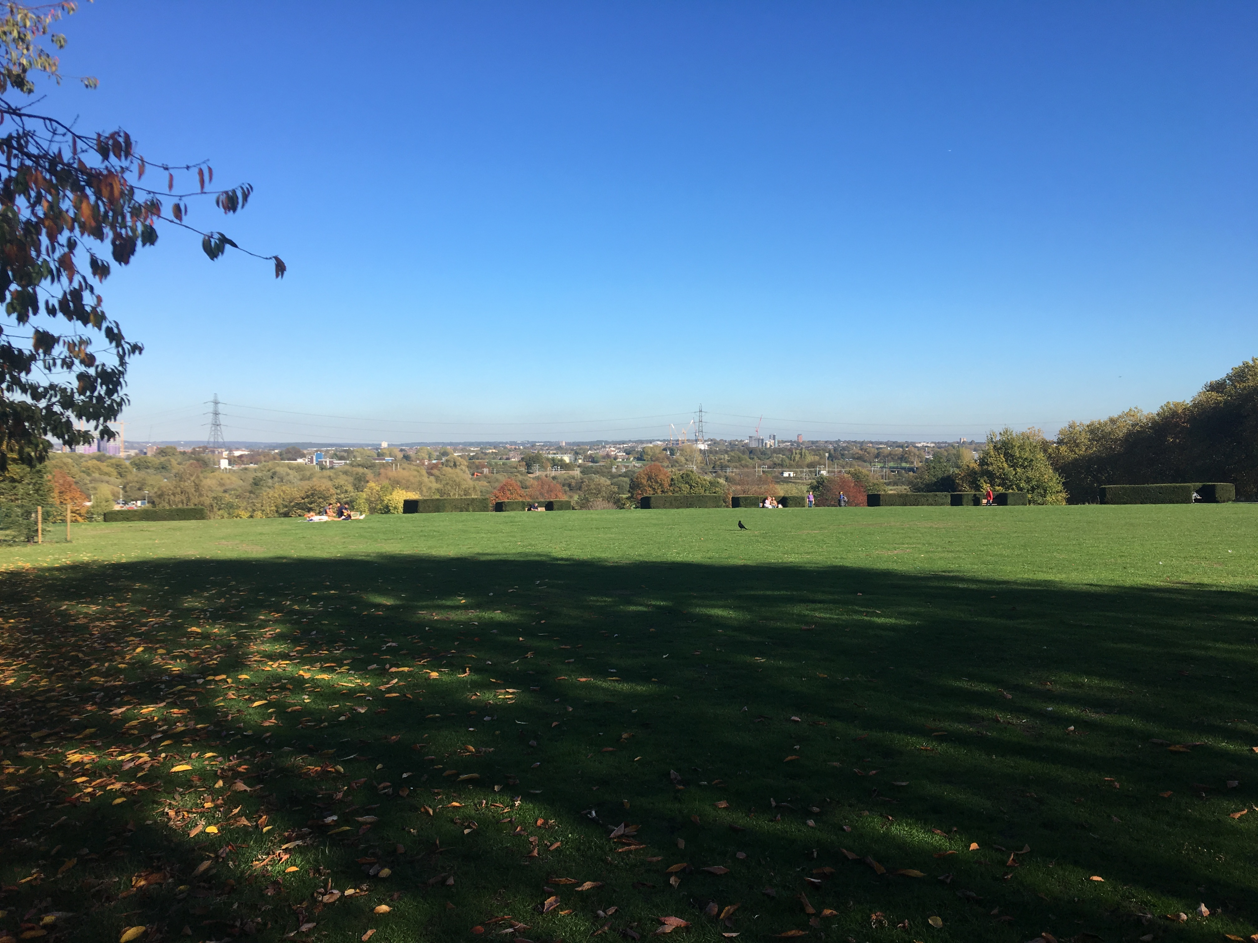
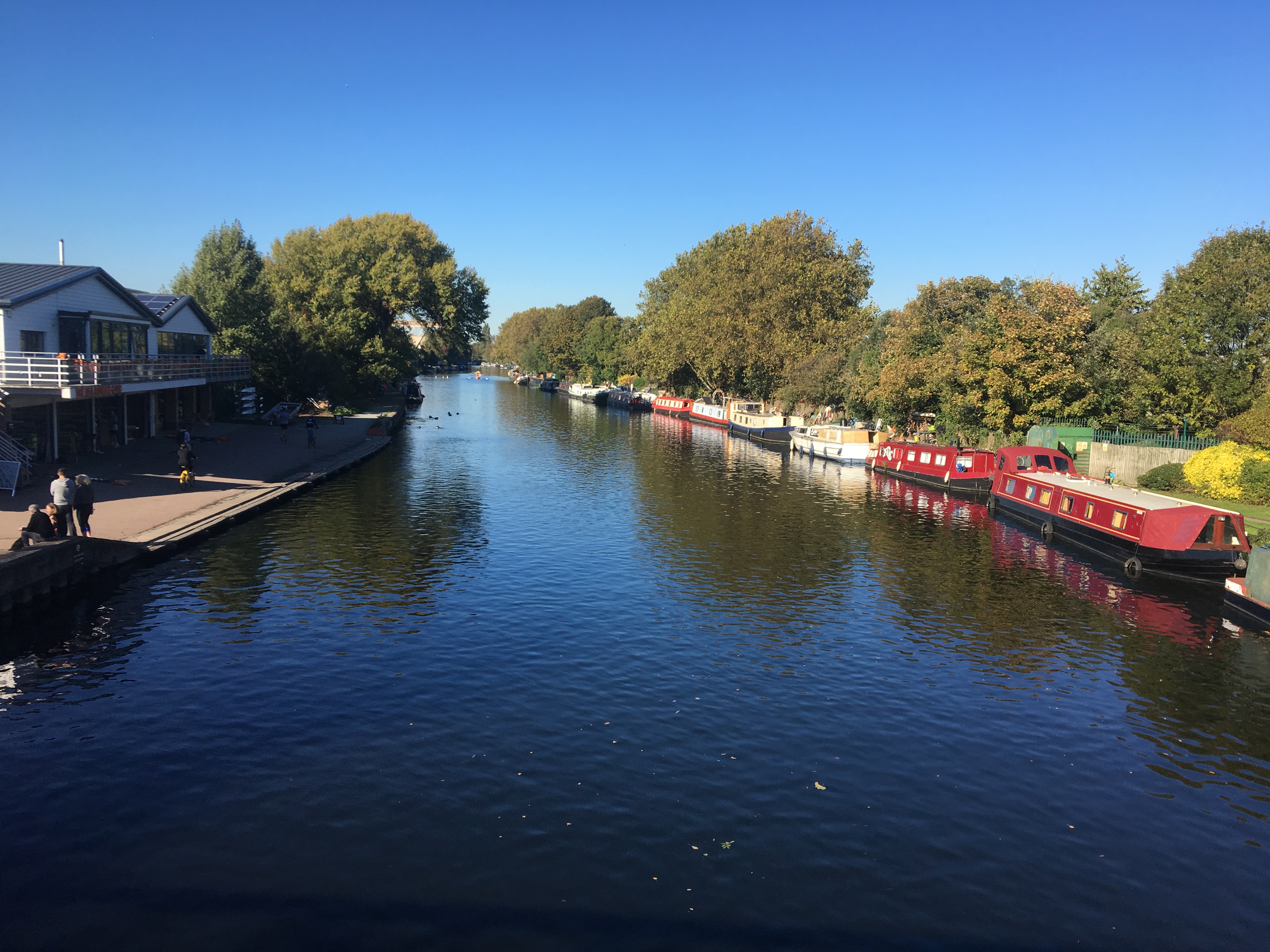
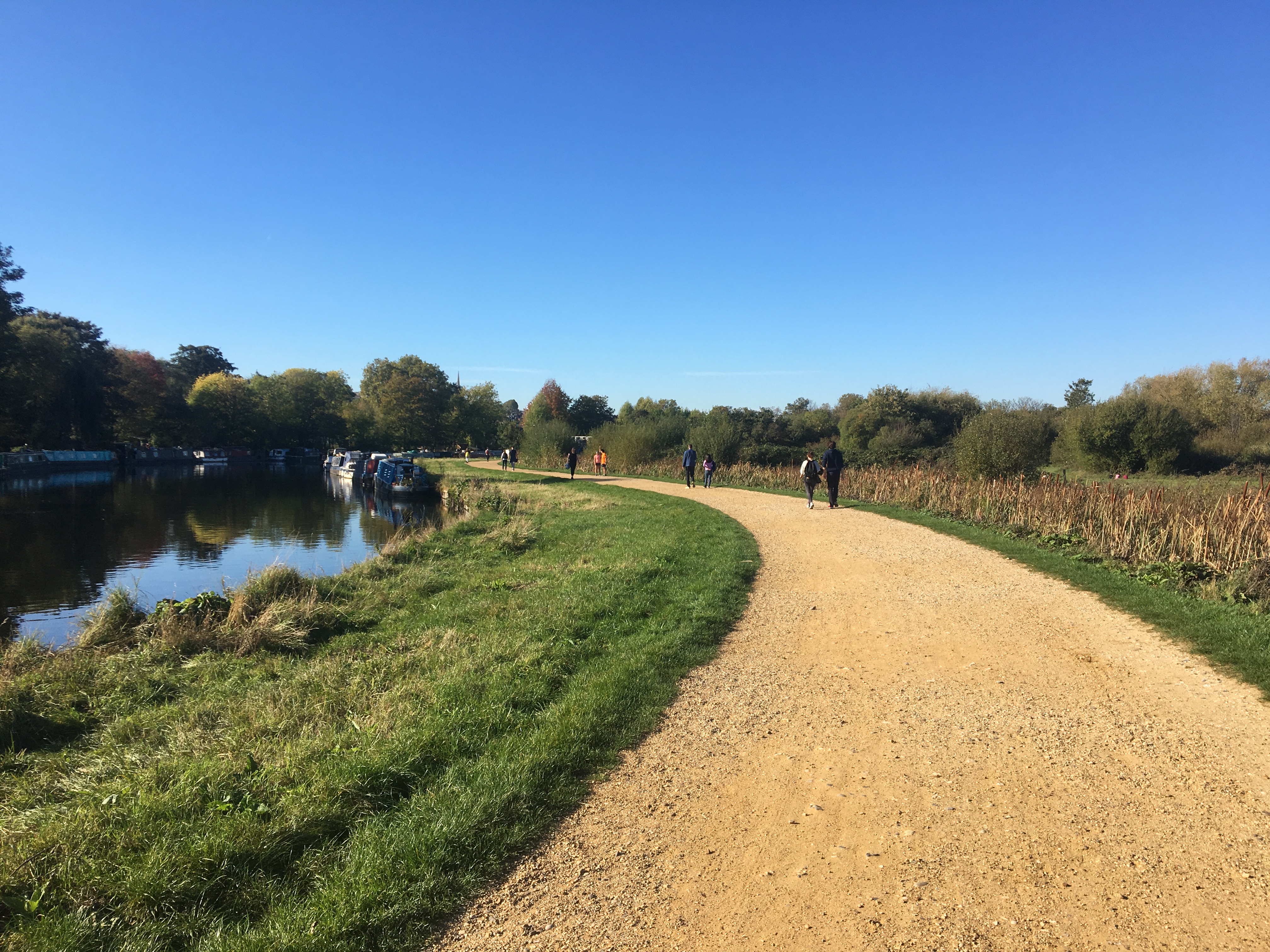
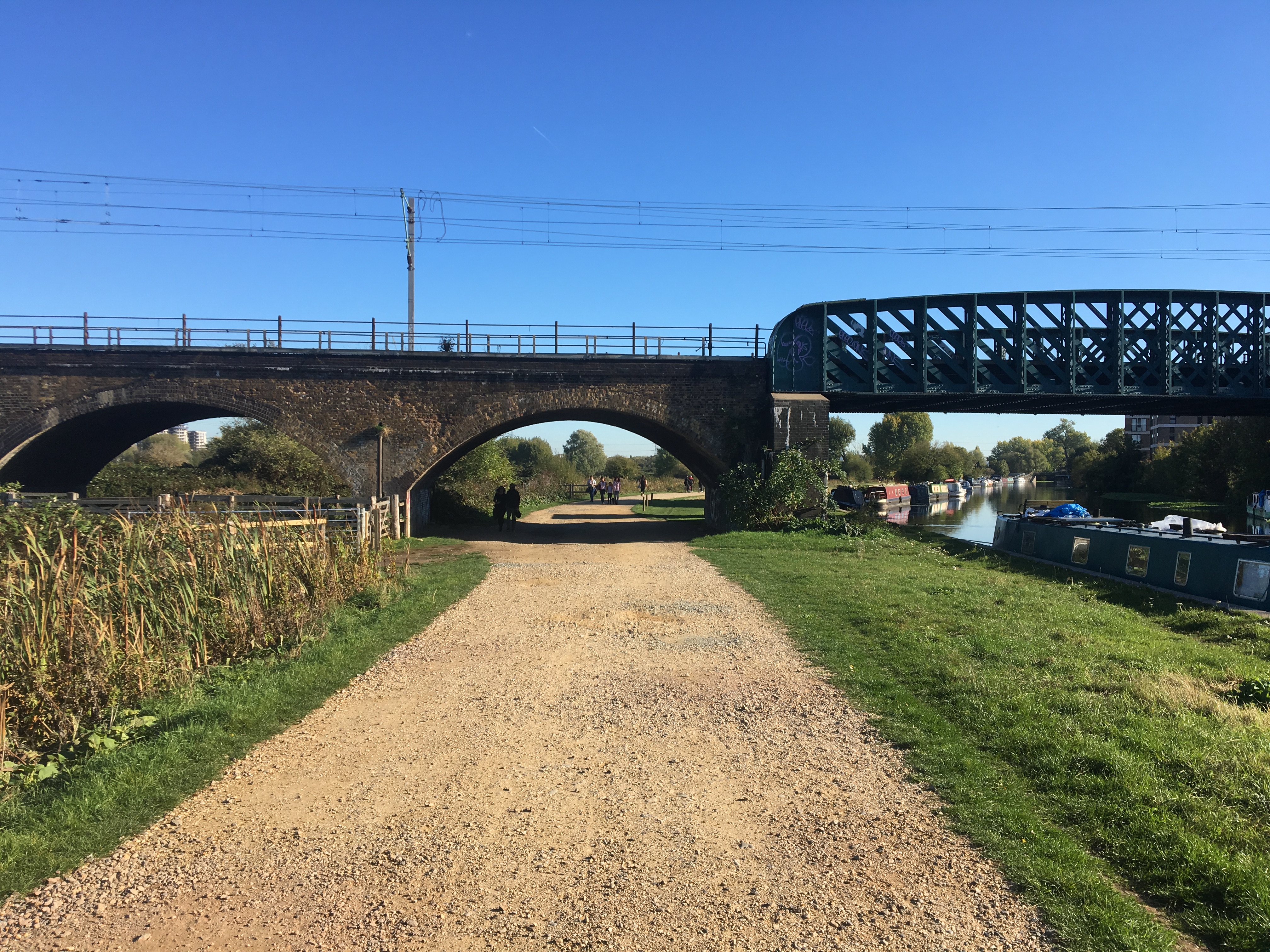 The whole area is now one of extreme botanical diversity, and the wild empty spaces provde a welcome respite from the crush and rush of the surroudning neighbourhoods. It’s been estimated that the local bee and wasp population outnumbers the human population of the entire borough of Hackney! There’s also a large heron community on the marshes as well, members of which are always lovely things to encounter.